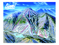
Cannon Mountain Ski Trail map
Ski trail map of Cannon ski area.
888 miles away
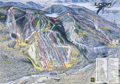
Loon Mountain Ski Trail Map
Official ski trail map of Loon Mountain ski area from the 2007-2008 season.
889 miles away
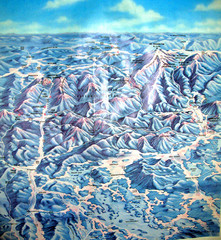
White Mountains New Hampshire Map
Old bird's eye view map of the White Mountain region of New Hampshire by Frank Thomas. Date of...
889 miles away
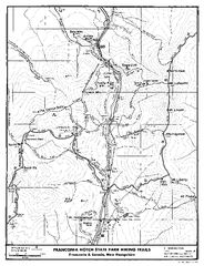
Franconia Notch Hiking Map
Map of hiking trails around Fanconia Notch State Park New Hampshire.
889 miles away
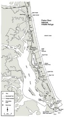
Parker River Map
Map of Parker River National Wildlife Refuge for birdlife
889 miles away
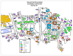
Phillips Exeter Academy Campus Map
Phillips Exeter Academy Campus Map
889 miles away
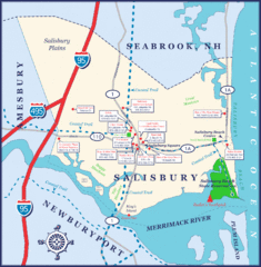
Salisbury Town Map
889 miles away
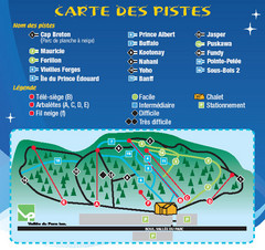
La Vallee du Parc Ski Trail Map
Trail map from La Vallee du Parc, which provides downhill and nordic skiing. This ski area has its...
889 miles away
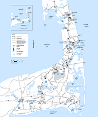
Cape Cod Rail Trail Map
Cape Cod Rail Trail map. The Cape Cod Rail Trail follows a former railroad right-of-way for 22...
890 miles away
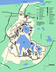
Nickerson State Park trail map
Trail map of Nickerson State Park in Massachusetts.
891 miles away
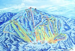
Gunstock Ski Area Ski Trail Map
Trail map from Gunstock Ski Area.
891 miles away
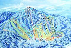
Gunstock Ski Trail Map
Ski trail map of Gunstock Mountain ski area
891 miles away
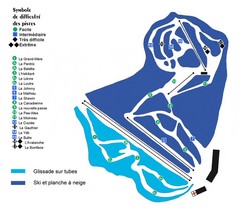
St-Mathieu les Cantons Ski Trail Map
Trail map from St-Mathieu les Cantons.
892 miles away
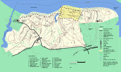
Maudslay State Park trail map
Trail Map of Maudslay State Park in Massachusetts.
893 miles away
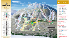
Owl’s Head Ski Trail Map
Trail map from Owl’s Head, which provides downhill skiing. This ski area has its own website.
894 miles away
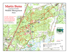
Downfall/Martin Burns WMA Map
894 miles away
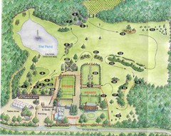
Newbury Perrenial Gardens Guide Map
894 miles away
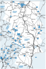
Caledonia County Map
895 miles away
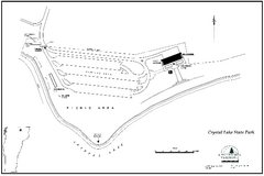
Crystal Lake State Park Map
Trail map of Crystal Lake State Park in Vermont
895 miles away
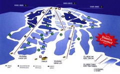
Mont Glen Ski Trail Map
Trail map from Mont Glen, which provides downhill skiing. This ski area has its own website.
897 miles away
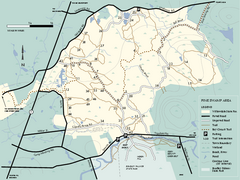
Willowdale State Forest map of Pine Swamp
Trail map of the Pine Swamp area of Willowdale State Park in Massachusetts.
897 miles away
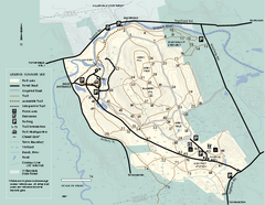
Bradley Palmer State Park summer map
Summer use map of Bradley Palmer State Park in Massachusetts
897 miles away
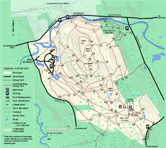
Bradley Palmer State Park winter map
Winter trail map of Bradley Palmer State Park.
897 miles away
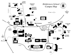
Holderness School Campus Map
A Campus Map of the Holderness School
898 miles away
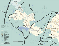
Willowdale State Forest map of Hood Pond
Trail map of the Hood Pond area of the Willowdale State Park in Massachusetts.
899 miles away
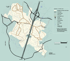
Georgetown-Rowley State Forest winter use map
Winter use map for the Georgetown-Rowley State Forest in Massachusetts.
899 miles away
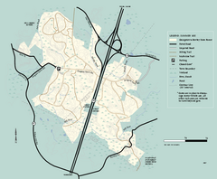
Georgetown-Rowley State Forest summer use map
Summer use map for Georgetown-Rowley State Forest.
899 miles away

Montreal Downtown pictorial Map
Pictorial illustration of Downtown Montreal
900 miles away
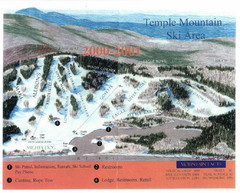
Temple Mountain Last year open—Credited to...
Trail map from Temple Mountain. This ski area opened in 1937.
901 miles away
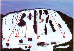
Ski Bradford Ski Trail Map
Trail map from Ski Bradford.
901 miles away
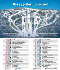
Ski Mont Shefford Ski Trail Map
Trail map from Ski Mont Shefford, which provides downhill skiing. This ski area has its own website.
902 miles away
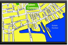
Salem, Massachusetts Guide Map
903 miles away
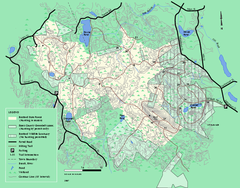
Boxford State Park trail map
Trail map of Boxford State Forest in Massachusetts
903 miles away
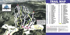
Tenney Mountain Ski Trail Map
Trail map from Tenney Mountain.
903 miles away
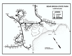
Bear Brook State Park Campground map
Campground map of Bear Brook State Park in New Hampshire
904 miles away
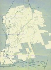
Bear Brook Trails Map
Bear Brook Park Trails and Park map in New Hampshire
904 miles away
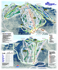
Ski Bromont Ski Trail Map
Trail map from Ski Bromont, which provides downhill skiing. This ski area has its own website.
905 miles away
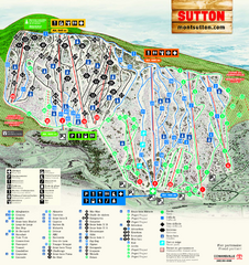
Mont Sutton Ski Trail Map
Trail map from Mont Sutton, which provides downhill skiing. This ski area has its own website.
906 miles away

Cape Cod Hospital Map
Map of external vicinity of Cape Cod Hospital
906 miles away
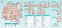
Cape Cod Hospital Map
Campus map of Cape Cod Hospital
906 miles away

