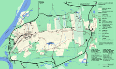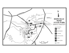
Hopeville Pond State Park trail map
Trail map for Hopevill Pond State Park in Connecticut
980 miles away
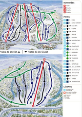
Gray Rocks Ski Trail Map
Trail map from Gray Rocks, which provides downhill skiing. This ski area has its own website.
980 miles away
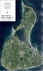
Block Island Aerial Map
Aerial map of Block Island, RI (New Shoreham, RI). True color orthophotography from August 2006.
980 miles away
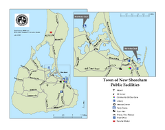
Block Island Road Map
Shows roads and major facilities on Block Island, RI (New Shoreham)
980 miles away
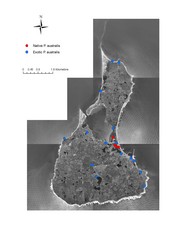
Native and Exotic Phragmites on Block Island Map
980 miles away
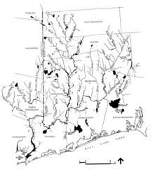
Rhode Island Coastal Watershed Map
Paddling Guide of Pawcatuck River Watershed
980 miles away
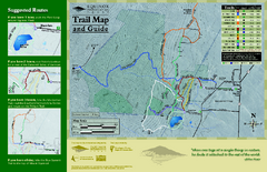
Equinox Preservation Trail map
Trail map of the Equinox Preservation Trust in Manchester, VT. The Equinox Preservation is over...
981 miles away
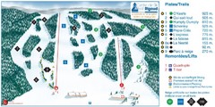
Ski Mont Rigaud Ski Trail Map
Trail map from Ski Mont Rigaud, which provides downhill skiing. This ski area has its own website.
981 miles away
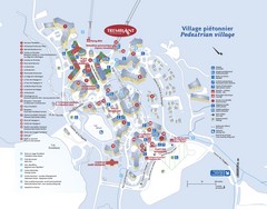
Mont Tremblant Village Map
981 miles away
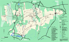
Mount Holyoke Range State Park Map
Trail map of Holyoke Range State Park.
981 miles away
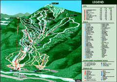
Whiteface Mountain—Lake Placid Ski Trail Map
Trail map from Whiteface Mountain—Lake Placid.
984 miles away
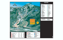
Whiteface Ski Trail Map
Official ski trail map of Whiteface 2006-2007 season.
984 miles away
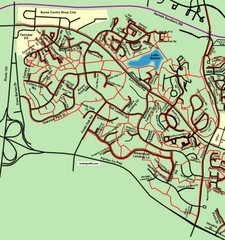
Burke Centre Area Trail Map
985 miles away
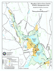
Mansfield Hollow State Park map
Map for Mansfield Hollow State Park and Wildlife Management Area in Connecticut.
985 miles away

Mansfield Cemetery Map
985 miles away
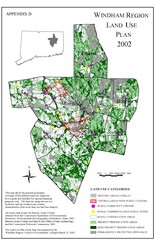
2002 Windham Region Land Use Map
Regional Land Use Guide Map for Planning Purposes
985 miles away
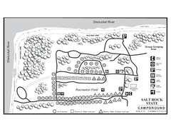
Salt Rock State Park campground map
Campground Map of Salt Rock State Campground in Connecticut.
986 miles away
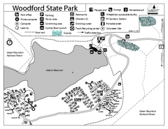
Woodford State Park Campground Map
Campground map for Woodford State Park in Vermont
986 miles away
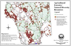
Mansfield Conservation and Development Map
Guide to Agricultural, Forestry and Natural Diversity Resources
986 miles away
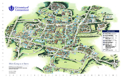
University of Connecticut - Storrs Campus Map
University of Connecticut - Storrs Campus Map. All areas shown.
987 miles away
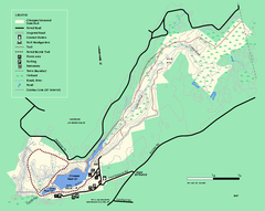
Chicopee State Park trail map
Chicopee State Park trail map
987 miles away
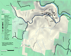
Mohawk Trail State Forest map
Map of the Mohawk Trail State Forest in Charlemont, Massachusetts.
987 miles away
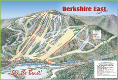
Berkshire East Ski Area Ski Trail Map
Trail map from Berkshire East Ski Area.
987 miles away
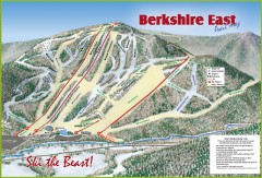
Berkshire East Ski Trail Map
Official ski trail map of Berkshire East ski area from the 2007-2008 season.
987 miles away
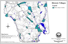
Historic Villages of Mansfield, Connecticut Map
Historical villages outlined on the map of the existing city.
988 miles away
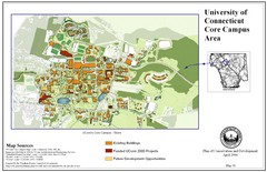
University of Connecticut Campus Map
Map shows current, funded projects and future development for UConn.
988 miles away
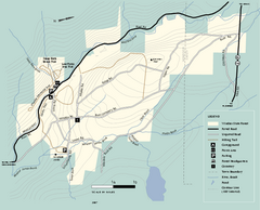
Windsor State Forest trail map
Trail map of Windsor State Forest in Massachusetts.
988 miles away
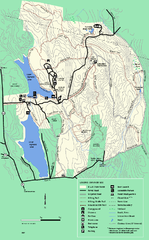
DAR State Forest summer map
Summer use map of the Daughters of the American Revolution state forest.
988 miles away
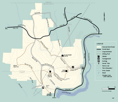
Monroe State Forest trail map
Trail map of Monroe State Forest in Massachusetts.
988 miles away
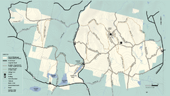
Kenneth Dubuque Memorial State Park trail map
Trail map of the Kenneth Dubuque state park conservation area in Massachusetts.
989 miles away
Shaftsbury State Park Map
Campground map of Shaftsbury State Park in Vermont.
989 miles away
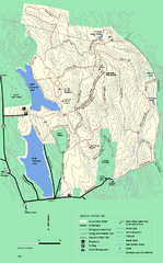
DAR State Forest winter map
Winter use map of the Daughters of the American Revolution State Forest.
990 miles away
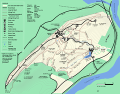
Mt. Tom State Reservation trail map
Trail map of Mt. Tom State Reservation
990 miles away
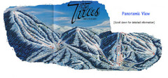
Titus Mountain Ski Trail Map
Trail map from Titus Mountain.
991 miles away
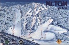
Mount Tom Ski Trail Map
Trail map from Mount Tom, which provides downhill skiing. This ski area opened in 1962.
991 miles away
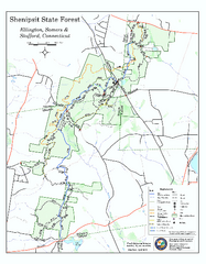
Trail map of Shenipsit State Forest
Trail map of Shenipsit State Forest in Connecticut.
991 miles away
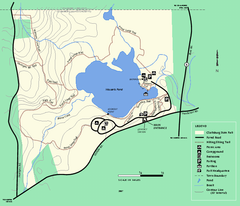
Clarksburg State Park trail map
Trail map of Clarksburg State Park in Massachusetts.
993 miles away
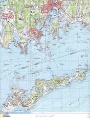
Fishers Island Map
In Long Island Sound
993 miles away
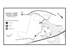
Haley Farm State Park map
Trail map of Haley Farm State Park in Connecticut.
993 miles away

