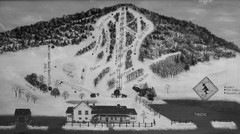
Quechee Lakes Ski Trail Map
Trail map from Quechee Lakes.
936 miles away
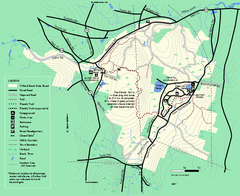
Willard Brook State Forest trail map
Trail map of Willard Brook State Forest in Massachusetts.
936 miles away
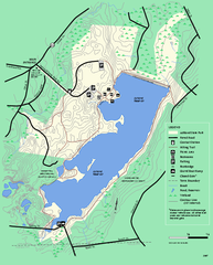
Ashland State Park Map
Map of Ashland State Park in Massachusetts.
937 miles away
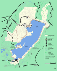
Ashland State Park Map
Clear map and legend marking trails, parking, facilities and more.
937 miles away
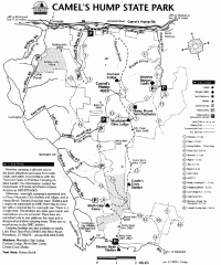
Camel's Hump State Park map
Map of Camel's Hump State Park, Vermont. Shows all hiking, snowmobile, and X-C ski trails...
937 miles away
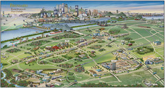
Pictorial map of Brossard
Brossard pictorial map
937 miles away
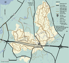
Wrentham State Forest trail map
Trail map of Wrentham State Forest in Massachusetts.
937 miles away
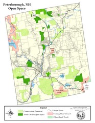
Peterborough Open Space Map
Map of open space lands in Peterborough, New Hampshire
938 miles away
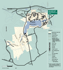
Hopkinton State Park trail map
Trail map of Hopkinton State Park in Massachusetts
939 miles away
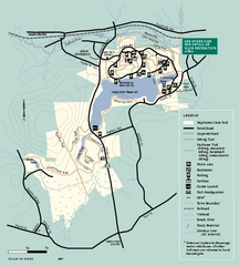
Hopkinton State Park trail map
Trail map of Hopkinton State Park in Massachusetts
939 miles away
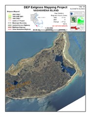
Nashawena Island Eelgrass Map
939 miles away
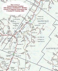
Waitsfield, Vermont City Map
939 miles away
Mt. Watatic to Wachusett Mountain, Massachusetts...
940 miles away
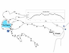
Mt. Tom road to the Pogue race course map
View Course Map and Elevations for the Mt. Tom road to the Pogue 6.1 mile run in Woodstock, VT.
941 miles away
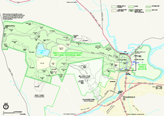
Marsh-Billings-Rockefeller National Historical...
Official NPS map of Marsh-Billings-Rockefeller National Historical Park in Vermont. Shows all areas...
941 miles away
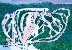
Suicide Six Ski Trail Map
Trail map from Suicide Six.
941 miles away
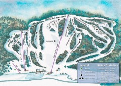
Suicide Six Ski Trail map
Ski trail map of Suicide Six ski area, owned by the Woodstock Inn in Woodstock, VT
941 miles away
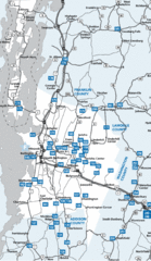
Chittenden County Map
941 miles away
Mt. Pisgah Map - Northboro, Berlin, Boylston Mass
941 miles away
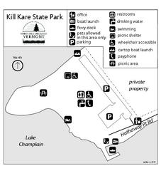
Kill Kare State Park map
Campground map of Kill Kare State park in Vermont
941 miles away
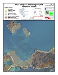
Penekese Island Eelgrass Map
942 miles away
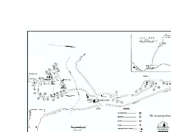
Ascutney State Park map
Campground map of Ascutney State Park in Vermont
942 miles away
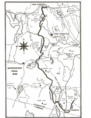
Monoosnoc Trail Map
942 miles away
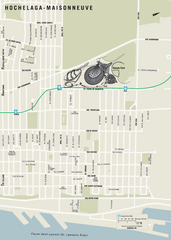
Hochelaga-Maisonneuve Map
942 miles away
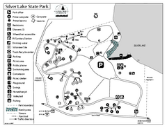
Silver Lake State Park Campground Map
Campground map of Silver Lake State Park in Vermont
942 miles away
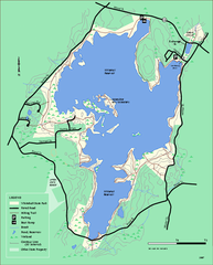
Whitehall State Park trail map
Trail map of Whitehall State Park in Massachusetts.
942 miles away
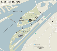
Parc Jean Drapeau Map
Park map of Parc Jean Drapeau in the St. Lawrence River, Montreal
942 miles away
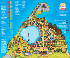
Six Flags La Ronde Theme Park Map
Official Park Map of Six Flags La Ronde Theme Park in Montreal, Quebec.
942 miles away
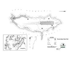
Woods Island State Park Campground Map
Campground map of Woods Island State Park in Vermont
942 miles away
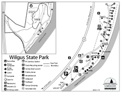
Wilgus State Park Campground Map
Campground map for Wilgus State Park in Vermont
942 miles away
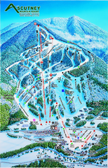
Ascutney Mountain Ski Trail Map 2006-07
Official ski trail map of Ascutney ski area from the 2006-2007 season.
943 miles away
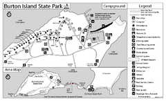
Burton Island State Park map
Campground map of Burton Island State Park in Vermont
943 miles away
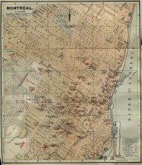
Antique map of Montreal from 1894
"Montreal" from Baedeker, Karl. The Dominion of Canada with Newfoundland and an Excursion...
943 miles away
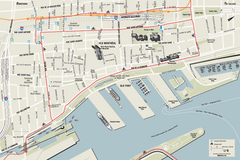
Old Montreal and Old Port Bike Map
Bike route map of Old Montreal and Old Port area
943 miles away
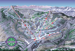
Mad River Glen Ski Trail Map
Trail map from Mad River Glen, which provides downhill skiing. It has 5 lifts servicing 45 runs...
943 miles away
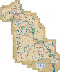
Blackstone Valley tourist map
Tourist map of the Blackston Valley in Rhode Island and Massachusetts. Shows hiking, biking, and...
944 miles away
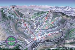
Mad River Glen Ski Area Trail Map
Official ski trail map of Mad River Glen ski area from the 2006-207 season.
944 miles away
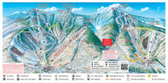
Sugarbush Resort Ski Trail Map
Trail map from Sugarbush Resort.
944 miles away
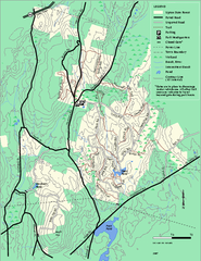
Upton State Forest trail map
Trail map for Upton State Forest in Massachusetts.
944 miles away
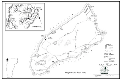
Knight Island State Park Campground Map
Map of Knight Island State Park in Vermont
944 miles away

