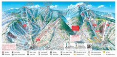
Sugarbush Resort ski trail map 2006-07
Official ski trail map of Sugarbush ski area from the 2006-2007 season.
938 miles away
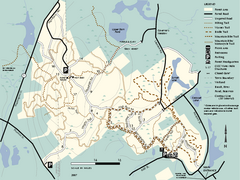
F. Gilbert Hills State Forest trail map
F. Gilbert Hills State Forest trail map in Massachusetts.
939 miles away
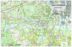
Ashland, MA - Topo Map
Map is provided by the town of Ashland, MA. See town's website for additional maps and...
939 miles away
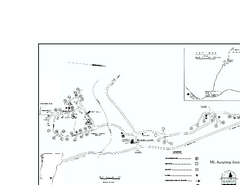
Ascutney State Park map
Campground map of Ascutney State Park in Vermont
939 miles away
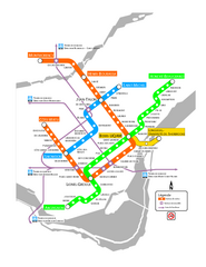
Montreal Metro Map
939 miles away
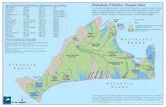
Martha's Vineyard Watershed Map
939 miles away
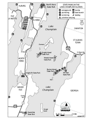
State Parks of the Champlain Islands Map
Map of the various State Parks of the Inland Sea / Lake Champlain area in Vermont
939 miles away
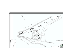
Sand Bar State Park Map
Campground map of Sand Bar State Park in Vermont
939 miles away
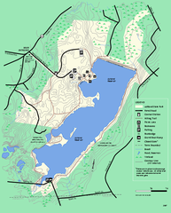
Ashland State Park Map
Map of Ashland State Park in Massachusetts.
940 miles away
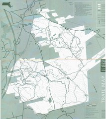
Freetown State Forest Map
Freetown State Forest Map showing mountain biking trails
940 miles away
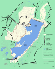
Ashland State Park Map
Clear map and legend marking trails, parking, facilities and more.
940 miles away
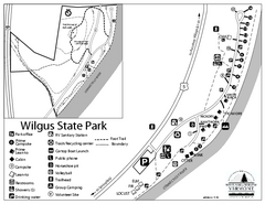
Wilgus State Park Campground Map
Campground map for Wilgus State Park in Vermont
940 miles away
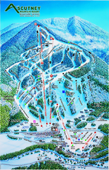
Ascutney Mountain Ski Trail Map 2006-07
Official ski trail map of Ascutney ski area from the 2006-2007 season.
940 miles away
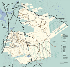
Freetown-Fall River State Forest trail map
Trail map of Freetown-Fall River State Forest in Massachusetts
940 miles away
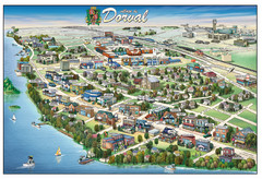
Pictorial map of Dorval
940 miles away
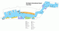
Burlington International Airport Terminal Map
Official Terminal Map of Burlington International Airport. All areas shown.
940 miles away
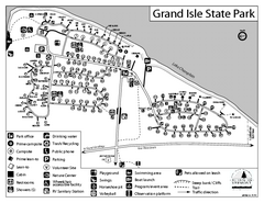
Grand Isle State Park Campground Map
Campground map for Grand Isle State Park in Vermont
941 miles away
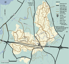
Wrentham State Forest trail map
Trail map of Wrentham State Forest in Massachusetts.
941 miles away
Mt. Watatic to Wachusett Mountain, Massachusetts...
941 miles away
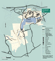
Hopkinton State Park trail map
Trail map of Hopkinton State Park in Massachusetts
942 miles away
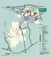
Hopkinton State Park trail map
Trail map of Hopkinton State Park in Massachusetts
942 miles away
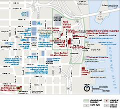
New Bedford Whaling National Historical Park...
Official NPS map of New Bedford Whaling National Historical Park in Massachusetts. Map shows all...
942 miles away
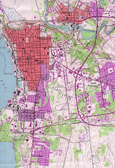
Burlington Vt 87 Map
Topographical map of the city of Burlington, Vt.
942 miles away
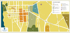
Burlington, Vermont City Tourist Map
The city of Burlington, Vermont
942 miles away
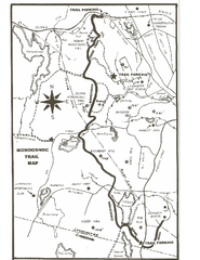
Monoosnoc Trail Map
943 miles away
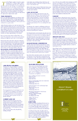
Mt. Pisgah Map - Northboro, Berlin, Boylston Mass
943 miles away
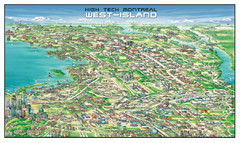
The West-Island Map
Panoramic illustration of High tech business in Montreal's West-Island
944 miles away
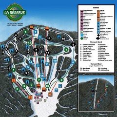
La Resérve Ski Trail Map
Trail map from La Resérve, which provides downhill skiing. This ski area has its own website.
944 miles away
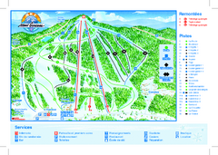
Mont Garceau Ski Trail Map
Trail map from Mont Garceau, which provides downhill and nordic skiing. This ski area has its own...
945 miles away
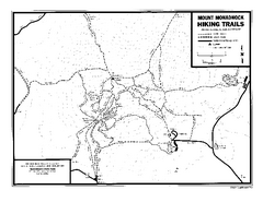
Mount Monadnock State Park Map
Official hiking map of the park. With its thousands of acres of protected highlands, 3,165-ft...
945 miles away
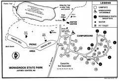
Monadnock State Park map
Campground map of Monadnock State Park in New Hampshire
945 miles away
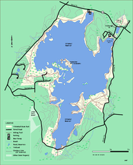
Whitehall State Park trail map
Trail map of Whitehall State Park in Massachusetts.
945 miles away
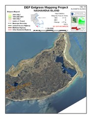
Nashawena Island Eelgrass Map
946 miles away
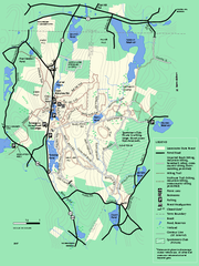
Leominster State Forest trail map
Trail map of Leominster State Forest in Massachusetts
946 miles away
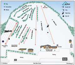
Ski Ward Ski Trail Map
Trail map from Ski Ward.
947 miles away
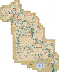
Blackstone Valley tourist map
Tourist map of the Blackston Valley in Rhode Island and Massachusetts. Shows hiking, biking, and...
947 miles away
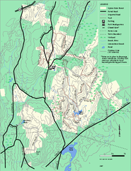
Upton State Forest trail map
Trail map for Upton State Forest in Massachusetts.
947 miles away
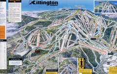
Killington Trail Map
Ski trail map
947 miles away
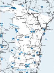
Windsor County Map
947 miles away
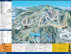
07-08 Killington Ski Trail Guide Map
Trail Map of Ski Area including lifts, runs and mountain elevation.
947 miles away

