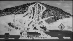
Quechee Club Ski Trail map
Official ski trail map of Quechee ski area from the 2006-2007 season.
933 miles away
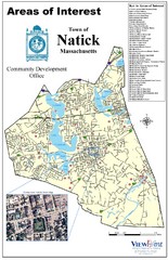
Natick Areas Of Interest Map
Shows points of interest in town of Natick, Massachusetts. Inset of downtown Natick.
933 miles away
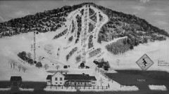
Quechee Lakes Ski Trail Map
Trail map from Quechee Lakes.
933 miles away
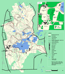
Borderland State Park trail map
Trail map of Borderland State Park in Massachusetts
933 miles away
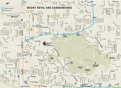
Mount Royal and Surroundings Map
934 miles away
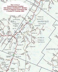
Waitsfield, Vermont City Map
934 miles away
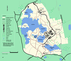
Massasoit State Park trail map
Trail map of Massasoit State Park in Massachusetts
934 miles away
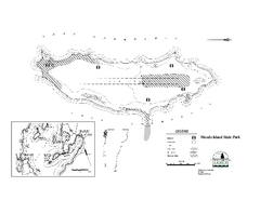
Woods Island State Park Campground Map
Campground map of Woods Island State Park in Vermont
934 miles away
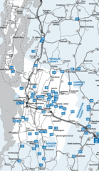
Chittenden County Map
934 miles away

Camp Morgan Trail Map
934 miles away
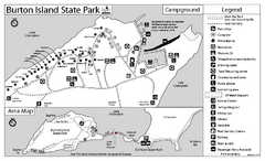
Burton Island State Park map
Campground map of Burton Island State Park in Vermont
934 miles away
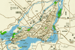
Montreal Tourist Map
935 miles away
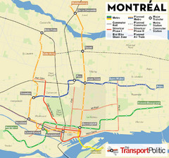
Montreal Tourist Map
935 miles away
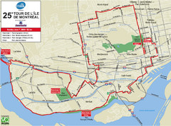
Montreal Tourist Map
935 miles away
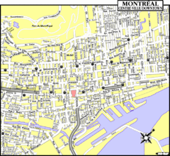
Montreal Tourist Map
935 miles away
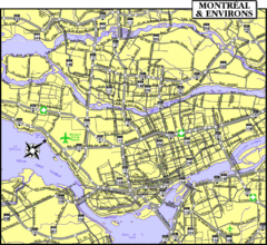
Montreal Tourist Map
935 miles away
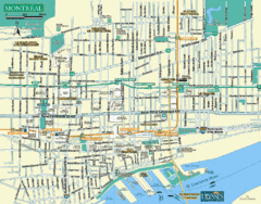
Montreal Tourist Map
935 miles away
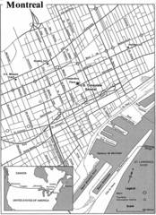
Montreal Tourist Map
935 miles away
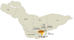
Montreal Neighborhood Map
935 miles away
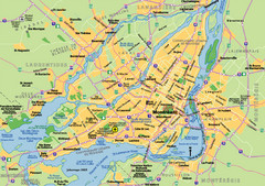
Montreal City Map
City map of Montreal with main roads
935 miles away
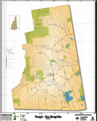
Temple NH Topo Map
Topographical map of Temple, NH area. Shows all roads and points of interest.
935 miles away
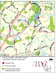
Delaney Conservation Land Map
935 miles away
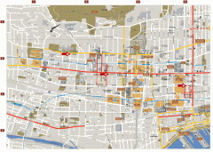
Montreal Downtown Map
Street map of downtown Montreal, Quebec. In French.
935 miles away
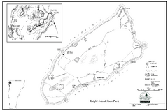
Knight Island State Park Campground Map
Map of Knight Island State Park in Vermont
935 miles away
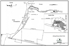
Alburg Dunes State Park map
Map of Alburg Dunes State Park in Vermont.
936 miles away
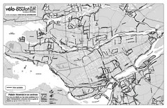
Montreal Bike Route Map
Shows city bike routes. In French.
936 miles away
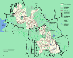
Callahan State Park trail map
Trail map of Callahan State Park in Massachusetts
936 miles away
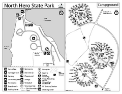
North Hero State Park Campground Map
Campground map of North Hero in Vermont
937 miles away
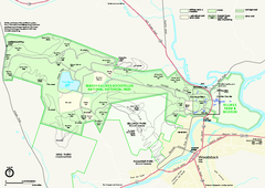
Marsh-Billings-Rockefeller National Historical...
Official NPS map of Marsh-Billings-Rockefeller National Historical Park in Vermont. Shows all areas...
937 miles away
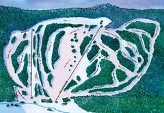
Suicide Six Ski Trail Map
Trail map from Suicide Six.
937 miles away
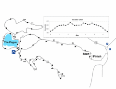
Mt. Tom road to the Pogue race course map
View Course Map and Elevations for the Mt. Tom road to the Pogue 6.1 mile run in Woodstock, VT.
937 miles away
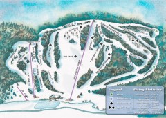
Suicide Six Ski Trail map
Ski trail map of Suicide Six ski area, owned by the Woodstock Inn in Woodstock, VT
937 miles away
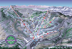
Mad River Glen Ski Trail Map
Trail map from Mad River Glen, which provides downhill skiing. It has 5 lifts servicing 45 runs...
937 miles away
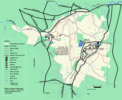
Willard Brook State Forest trail map
Trail map of Willard Brook State Forest in Massachusetts.
937 miles away
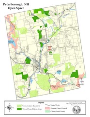
Peterborough Open Space Map
Map of open space lands in Peterborough, New Hampshire
938 miles away
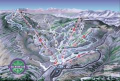
Mad River Glen Ski Area Trail Map
Official ski trail map of Mad River Glen ski area from the 2006-207 season.
938 miles away
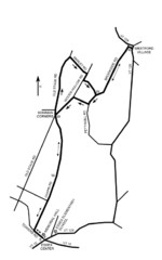
30K Race Course Map
Green Mountain Athletic Association Common to Common 30K Course Map in Essex Junction, VT
938 miles away
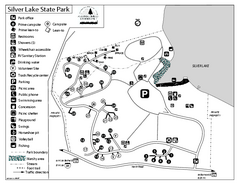
Silver Lake State Park Campground Map
Campground map of Silver Lake State Park in Vermont
938 miles away
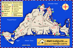
Martha's Vineyard Island Map
Tourist map of island of Martha's Vineyard, Massachusetts.
938 miles away
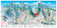
Sugarbush Resort Ski Trail Map
Trail map from Sugarbush Resort.
938 miles away

