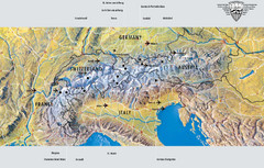
Alps Top Resort Town Map
Shows 12 top 4 season mountain resort towns in the Alps in France, Switzerland, Austria, and Italy.
373 miles away
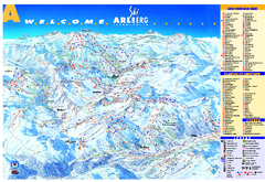
St Anton Region Ski map
Panoramic ski map covers St. Anton, St. Christoph, St. Jakob, Stuben, Zurs, Zug, Lech, and Oberlech...
373 miles away
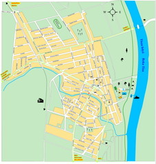
Ada város Map
373 miles away
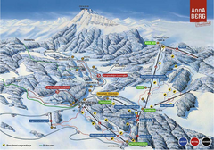
Annaberg Ski Trail Map
Trail map from Annaberg.
373 miles away
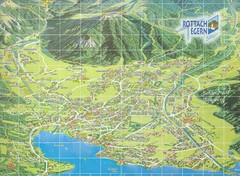
Rottach Egern Map
374 miles away
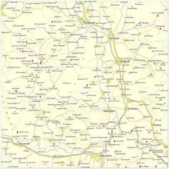
Monasteries in central Serbia (Levač area) Map
Levač is historic area in the central part of Serbia around Morava river.
374 miles away
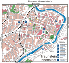
Traunstein Map
Street map of Traunstein
375 miles away
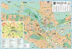
Skopje Tourist Map
Tourist map of Skopje, Macedonia. Shows points of interest.
376 miles away
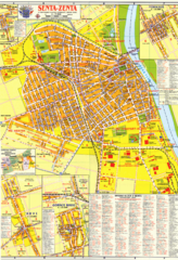
Zenta Map
376 miles away
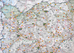
Northern Italy Map
Map of very north of Italy. Shows all towns, roads, recreational activities and gas stations.
377 miles away
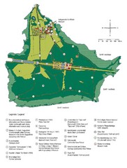
Chiemsee Island Germany Tourist Map
Tourist map of the island showing all the tourist sites.
377 miles away
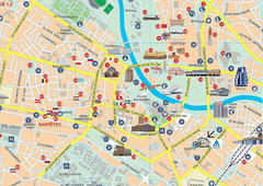
Skopje city Map
378 miles away
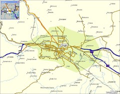
Skopje and vicinity Map
379 miles away
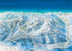
Auron Saint-Etienne-de-Tinée Ski Trail Map
Trail map from Auron Saint-Etienne-de-Tinée.
379 miles away
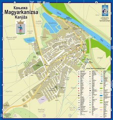
Kanizsa City Map
City map of Kanjiza, Serbia. Shows businesses.
381 miles away
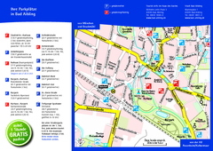
Bad Aibling Tourist Map
Tourist parking map of downtown Bad Aibling
382 miles away
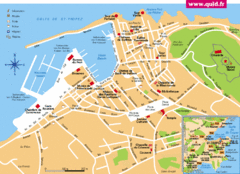
St. Tropez Tourist Map
Tourist map of Saint Tropez, France. Shows points of interest. Inset shows surrounding area.
382 miles away
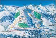
Brigels Ski Trail Map
Trail map from Brigels.
383 miles away
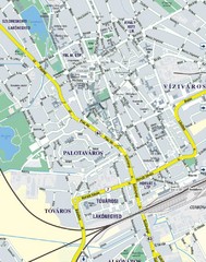
Székesfehérvár City Map
City Map of Székesfehérvár
384 miles away
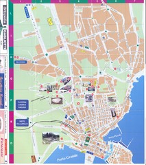
Siracusa Map
384 miles away
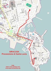
Saint Lucy's procession in Syracuse Map
Itinerary of the yearly St. Lucy's procession in Syracuse - Sicily
384 miles away
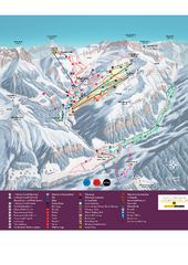
Malbun Ski Trail Map
Ski trail map of area surrounding Malbun, Liechtenstein. Also shows walking routes.
384 miles away
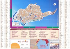
Siracusa Ortigia Map
385 miles away
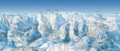
Val d’Allos—La Foux Ski Trail Map
Trail map from Val d’Allos—La Foux.
385 miles away
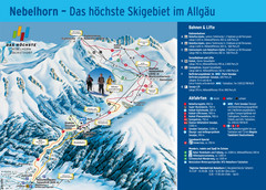
Oberstdorf Ski Trail Map
Trail map from Oberstdorf.
385 miles away
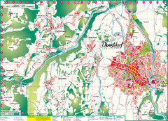
Oberstdorf City Map
City map of Oberstdorf, Germany and surrounding area. Shows buildings and ski lifts. In German.
385 miles away
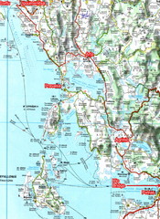
Igoumenitsa to Patras Travel Map
385 miles away
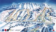
Oberjoch-Unterjoch Ski Trail Map
Trail map from Oberjoch.
386 miles away
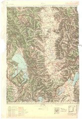
Bitola Region Topo Map
Topo map of the region surrounding Bitola, Macedonia.
387 miles away
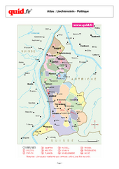
Liechtenstein Regional Map
Country map with detail of regional divides
387 miles away
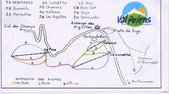
Val Pelens Ski Trail Map
Trail map from Val Pelens.
388 miles away
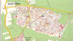
Geretsried Map
Street map of Geretsried
389 miles away
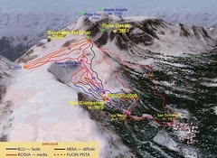
Alpe Ciamporino Ski Trail Map
Trail map from Alpe Ciamporino, which provides downhill skiing. It has 6 lifts. This ski area has...
389 miles away
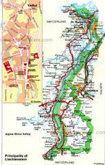
Liechtenstein Principality Map
389 miles away
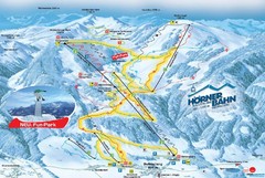
Bolsterlang Ski Trail Map
Trail map from Bolsterlang.
389 miles away
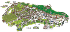
Vaduz Town Map
Tourist map of town of Vaduz, Liechtenstein. Panoramic view shows buildings and streets.
389 miles away

