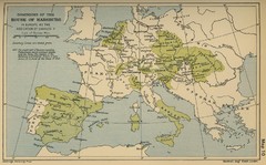
Dominions in the House of Habsburg - 1547...
249 miles away
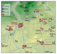
Asolo Italy Area Map
Tourist map of Asolo, Italy surroundings. Shows monuments, art centers, museums, and city walls.
250 miles away
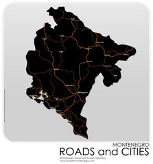
Montenegro Roads and Cities Map
Simple Map of Roads and Cities in Montenegro
250 miles away
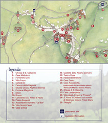
Asolo Town Map
Tourist map of Asolo, Italy. Shows points of interest, panoramic site, and touristic information...
250 miles away
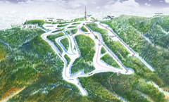
Medvednica Ski Trail Map
Trail map from Medvednica.
250 miles away
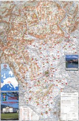
Vicenza Tourist Map
Tourist map of region around Vicenza, Italy. Shows points of interest. In Italian. Scanned.
251 miles away
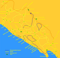
Cinque Terre Mountain Biking Trail Map
Mountain biking trail map of routes near Levanto and the Cinque Terre, Italy. Shows trails, roads...
252 miles away
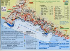
Cingue Terre-map Map
252 miles away
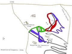
Ghisoni Ski Trail Map
Trail map from Ghisoni.
253 miles away
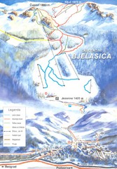
Bjelasica Ski Trail Map
Trail map from Bjelasica.
253 miles away
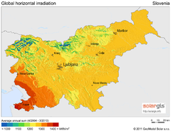
Solar Radiation Map of Slovenia
Solar Radiation Map Based on high resolution Solar Radiation Database: SolarGIS. On the Solar Map...
253 miles away
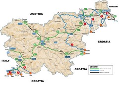
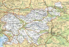
Slovenia Highways Map
253 miles away
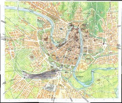
Verona Map
253 miles away
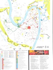
Verona centro Map
253 miles away
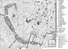
Verona Tourist Map
Tourist city map of Verona
253 miles away
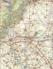
Northern Italy Tourist Map
Pordenone, Coltura, Polcenigo, Italy
253 miles away
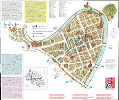
Verona centro Map
253 miles away
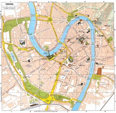
Verona Italy Tourist Map
Tourist map of Verona, Italy showing tourist sites, roads and parks.
253 miles away
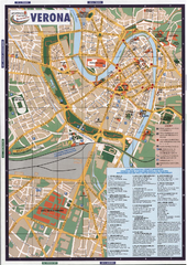
Verona Tourist Map
Tourist map of Verona, Italy. Shows points of interest.
253 miles away
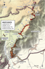
Monte Grappa Giro Stage 14 Cycling Route Map
Cycling route of the climb up Monte Grappa in Stage 14 of the 2010 Giro d'Italia. Averages 8...
255 miles away
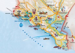
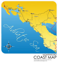
Montenegro coastal Map
256 miles away
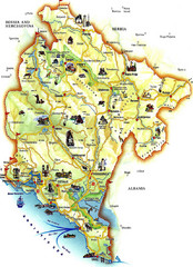
Montenegro Tourist Map
Tourist Map of Montenegro identifing tourist sites, roads and cities.
257 miles away
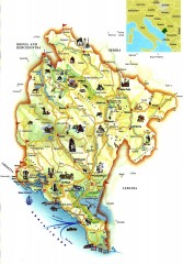
Montenegro tourist map
Illustrated tourist map of Montenegro.
259 miles away
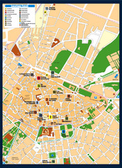
Lecce Tourist Map
Tourist map of historic center of Lecce, Italy. Shows points of interest.
259 miles away
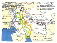
Slovenia Tour Map
260 miles away
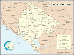
Montenegro map
260 miles away
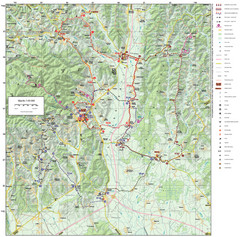
Zagreb County Cycling Route Map
Shows a cycling route in Zagreb County, Croatia. From the Roman “Magna Vie” near Komin...
260 miles away

Peschiera del Garda Map
263 miles away
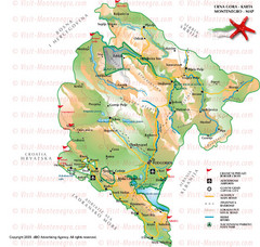
Montenegro Tourist Map
264 miles away
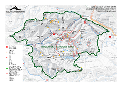
Triglav National Park Map
Triglav National Park is the only Slovenian national park. The park was named after Triglav, the...
264 miles away
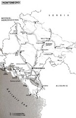
Montenegro Map
264 miles away

Montenegro Tourist Map
265 miles away

Lazise region and centro Map
265 miles away
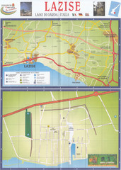
Lazise Map
265 miles away

Slavonski Brod Tourist Map
Map of Slavonski Brod, Croatia showing streets, hotels, restaurants and tourist attractions.
266 miles away
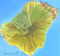
Stromboli Map
266 miles away
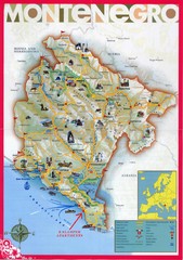
Montenegro tourist Map
267 miles away

