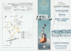
La Tzoumaz Public Transportation Map (French)
387 miles away
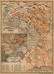
Toulon Map
The following maps are from "Southern France Including Corsica; Handbook for Travellers"...
387 miles away
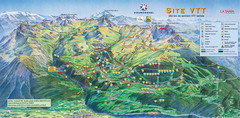
Courcheval Mountain Biking Map
Panoramic downhill mountain biking trail map of Courcheval, France in Vanoise National Park.
387 miles away
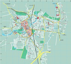
Dachau City Map
City street map of Dachau
388 miles away
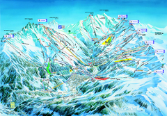
Les 3 Vallées Méribel Ski Trail Map
Trail map from Les 3 Vallées.
388 miles away
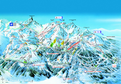
Les 3 Vallées Courchevel Detail Ski Trail Map
Trail map from Les 3 Vallées.
388 miles away
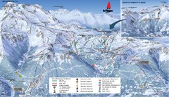
La Plagne La Plagne and Champagny-En-Vanoise Ski...
Trail map from La Plagne.
388 miles away
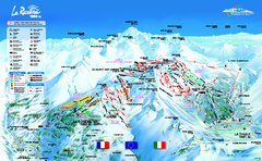
La Rosière Ski Trail Map
Trail map from La Rosière.
388 miles away
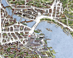
Lucerne Tourist Map
Tourist map of central Lucerne, Switzerland. 3D view showing buildings.
388 miles away
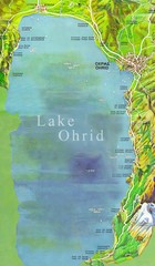
Lake Ohrid Tourist Map
Tourist map of Lake Ohrid in Macedonia. Shows points of interest around the lake
389 miles away
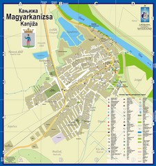
Kanizsa City Map
City map of Kanjiza, Serbia. Shows businesses.
389 miles away
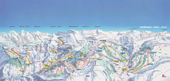
Adelboden-Lenk (Frutigen) Ski Trail Map
Trail map from Adelboden-Lenk (Frutigen), which provides downhill skiing.
389 miles away
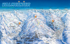
Valloire Vallorie and Valmeinier Ski Trail Map
Trail map from Valloire, which provides downhill skiing.
389 miles away
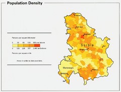
Serbia and Montenegro Population Map
Map of Serbia and Montenegro's population map
390 miles away

Valloire Pistes Ski Map
390 miles away
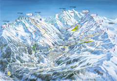
Méribel-Mottaret Ski Run Map
Ski Resort map for Méribel and Mottaret ski resorts including ski runs, lifts and mountain...
390 miles away
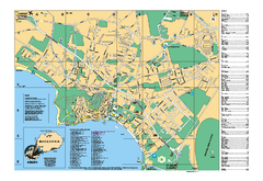
Ohrid tourist map
City of Ohrid - travel map. City names, places of interest.
390 miles away
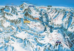
Chamonix Piste Ski Area Trail Map
390 miles away
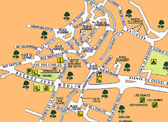
Signes Map
391 miles away
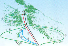
Granier Ski Trail Map
Trail map from Granier.
391 miles away
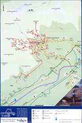
Ovronnaz Tourist Map
Tourist map of Ovronnaz, Switzerland. Shows biking routes, restaurants, and public transport.
391 miles away
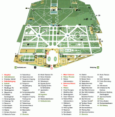
Schonbrunn Palace map
From Wikipedia: Schonbrunn Palace (German: Schloss Schonbrunn) in Vienna is one of the most...
392 miles away
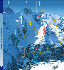
La Grave Ski Trail Map
Trail map from La Grave.
392 miles away
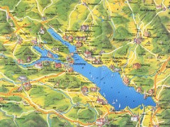
Lake Konstanz Map
392 miles away
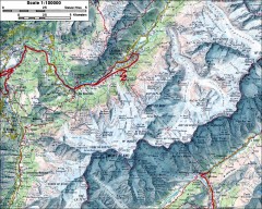
Mont Blanc topographic map
topo map of Mont Blanc, France; highest point in the Alps
393 miles away

Vienna University of Technology Building Map
Building map of the Institute of Software Technology and Interactive Systems at the Vienna...
393 miles away
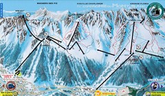
Chamonix—La Flegère Ski Trail Map
Trail map from Chamonix—La Flegère.
393 miles away
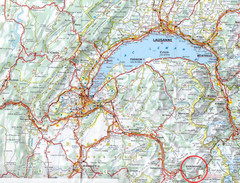
Chamonix Location Map
393 miles away
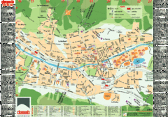
Chamonix Tourist Map
Tourist street map of Chamonix, France. In French.
393 miles away
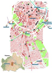
Vienna City Center Map
Map of Vienna city center
394 miles away
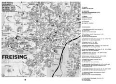
Freising City Map
394 miles away

Chamonix Valley Town Map
Map of Chamonix Valley and ski locations
394 miles away
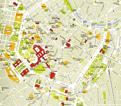
Vienna centre Map
394 miles away
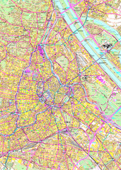
Vienna Street Map
Street map of Vienna, Austria
394 miles away
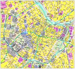
Vienna Inner City Tourist Map
Tourist map of inner city Vienna, Austria. 3D drawings of major buildings and palaces.
394 miles away

Vienna Public Transportation Map
394 miles away
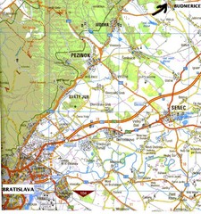
Vienna Airport Map
394 miles away
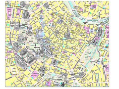
Vienna City Tourist Map
394 miles away

