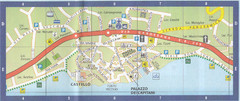
Malcesine Map
243 miles away

Camogli Map
244 miles away
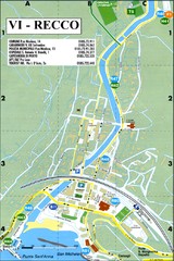
Recco Map
245 miles away
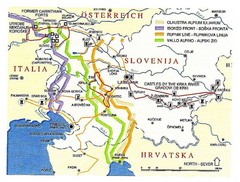
Slovenia Tour Map
245 miles away
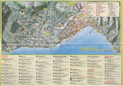
Limone sul garda Map
247 miles away
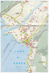
Nago-Torbole Map
248 miles away
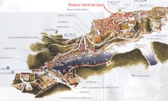
Bonifacio Tourist Map
Tourist map of Bonifacio, Corsica
248 miles away

Brescia Map
249 miles away
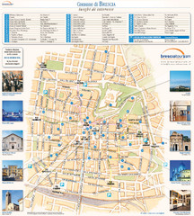
Brescia Tourist Map
Tourist map of central Brescia, Italy. Shows points of interest and photos.
249 miles away

Brescia centro Map
249 miles away
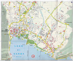
Riva del Garda Map
249 miles away
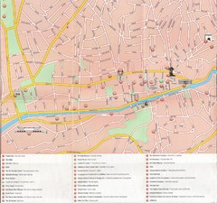
Sarajevo Downtown Map
Free tourist map of downtown Sarajevo from Sarajevo Navigator Brochure
250 miles away
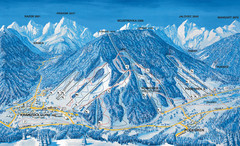
Kranjska Gora Ski Trail Map
Ski trail map of Kranjska Gora ski area.
251 miles away
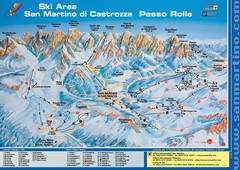
San Martino di Cartozza Ski Trail Map
Ski trail map of San Martino di Cartozza, Italy
251 miles away
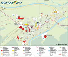
Kranjska Gora town map
Blurb from town website: The Zgornjesavska Valley is one of the most breathtaking alpine valleys...
251 miles away
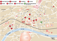
Trento center Map
253 miles away
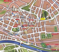
Trento Tourist Map
Tourist map of central Trento, Italy. Shows major buildings.
253 miles away
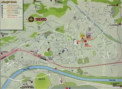
Trento Map
253 miles away
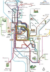
Trento Bus Route Map (Italian)
253 miles away
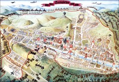
Sarajevo Survival Map 1992-1996
From creator famainternational.com: " Sarajevo Survival Map 92-96 is the ultimate visual...
253 miles away
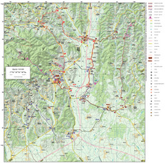
Zagreb County Cycling Route Map
Shows a cycling route in Zagreb County, Croatia. From the Roman “Magna Vie” near Komin...
254 miles away
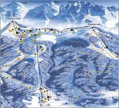
Arnoldstein—Dreiländereck Ski Trail Map
Trail map from Arnoldstein—Dreiländereck, which provides downhill skiing. It has 8 lifts. This...
255 miles away
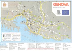
Genova Map
256 miles away
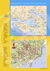
Boka Kotorska Bay and Herceg Novi Tourist Map
Tourist map of the bay of Boka Kotorska and old town Herceg Novi. In Croatian and English.
256 miles away
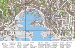
Genoa Tourist Map
Tourist map of center of Genoa, Italy (Genova). Drawing shows all buildings and legend has top 10...
257 miles away
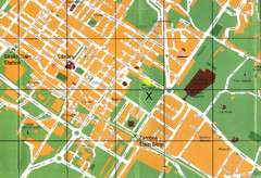
Sesto Map
258 miles away
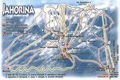
Jahorina Ski Trail Map
Trail map from Jahorina.
259 miles away
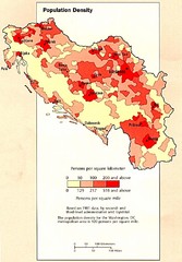
Yugoslavian Population Map
This map clearly marks Yugoslavia's distribution of its population.
260 miles away
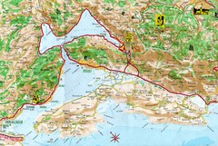
Kotor Bay Tourist Map
Tourist Map of Bay of Kotor, Montenegro.
261 miles away
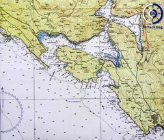
Bay of Boka Map
261 miles away
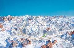
Canazei Campitello Ski Trail Map
Ski trail map of Canazei-Campitello area in the Italian Dolomites.
264 miles away
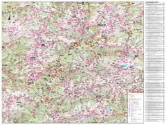
Val di Fassa Hiking Map
Hiking trail map of the Val di Fassa, Italy region. Highly detailed.
264 miles away
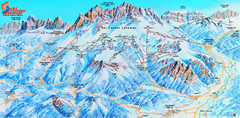
Latemar (Val di Fiemme, Obereggen) Ski Center...
Trail map from Latemar (Val di Fiemme, Obereggen), which provides downhill and nordic skiing. This...
264 miles away
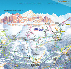
Welschnofen—Karersee (Carezza) Ski Trail Map
Trail map from Welschnofen—Karersee (Carezza), which provides downhill and nordic skiing. This...
264 miles away
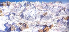
Campitello di Fassa Ski Map
266 miles away
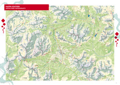
Cortina d'Ampezzo Hiking Map
Summer hiking map of the Cortina d'Ampezzo, Italy area in the heart of the Dolomite Mountains...
267 miles away
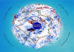
Sella Ronda Ski Tour Map
Shows ski mountaineering tour of Sella Ronda, a circular ski route leading around the mighty Sella...
268 miles away
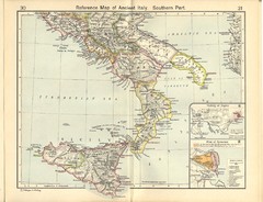
Ancient Italy, Southern Part Map
Reference Map of ancient Italy, southern part. Shows insets of Naples and Syracuse.
269 miles away

