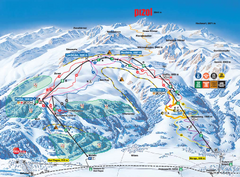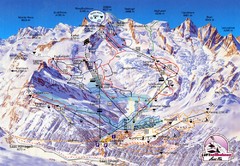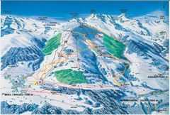
Brigels Ski Trail Map
Trail map from Brigels.
368 miles away
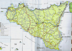
Catania Map
368 miles away
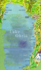
Lake Ohrid Tourist Map
Tourist map of Lake Ohrid in Macedonia. Shows points of interest around the lake
368 miles away
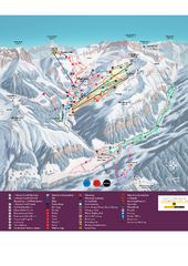
Malbun Ski Trail Map
Ski trail map of area surrounding Malbun, Liechtenstein. Also shows walking routes.
368 miles away
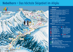
Oberstdorf Ski Trail Map
Trail map from Oberstdorf.
369 miles away
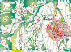
Oberstdorf City Map
City map of Oberstdorf, Germany and surrounding area. Shows buildings and ski lifts. In German.
369 miles away
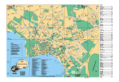
Ohrid tourist map
City of Ohrid - travel map. City names, places of interest.
369 miles away
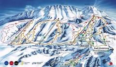
Oberjoch-Unterjoch Ski Trail Map
Trail map from Oberjoch.
370 miles away
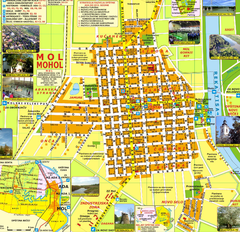
Mohol Map
370 miles away
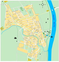
Ada város Map
371 miles away
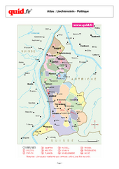
Liechtenstein Regional Map
Country map with detail of regional divides
371 miles away
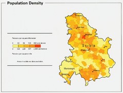
Serbia and Montenegro Population Map
Map of Serbia and Montenegro's population map
372 miles away
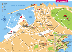
St. Tropez Tourist Map
Tourist map of Saint Tropez, France. Shows points of interest. Inset shows surrounding area.
372 miles away
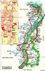
Liechtenstein Principality Map
373 miles away
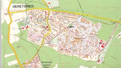
Geretsried Map
Street map of Geretsried
373 miles away
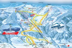
Bolsterlang Ski Trail Map
Trail map from Bolsterlang.
373 miles away
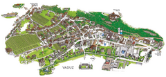
Vaduz Town Map
Tourist map of town of Vaduz, Liechtenstein. Panoramic view shows buildings and streets.
373 miles away
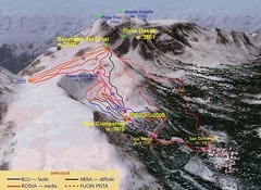
Alpe Ciamporino Ski Trail Map
Trail map from Alpe Ciamporino, which provides downhill skiing. It has 6 lifts. This ski area has...
374 miles away
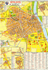
Zenta Map
374 miles away
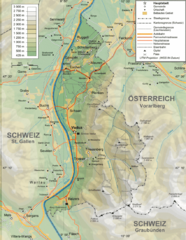
Liechtenstein topography Map
374 miles away
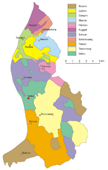
Liechtenstein Tourist Map
374 miles away
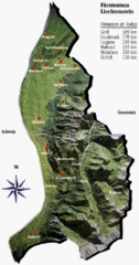
Liechtenstein Tourist Map
374 miles away
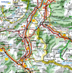
Liechtenstein road Map
374 miles away
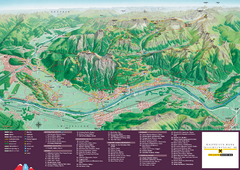
Liechtenstein Tourist Map
Tourist map of the country of Liechtenstein. Panoramic view shows all towns, trails, and mountains.
374 miles away
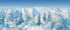
Val d’Allos—La Foux Ski Trail Map
Trail map from Val d’Allos—La Foux.
375 miles away
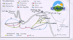
Val Pelens Ski Trail Map
Trail map from Val Pelens.
376 miles away
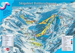
Balderschwang Balderschwang Ski Trail Map
Trail map from Balderschwang.
376 miles away
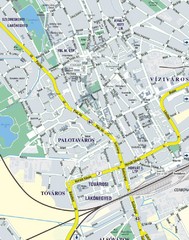
Székesfehérvár City Map
City Map of Székesfehérvár
376 miles away
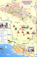
Agrigento Map
377 miles away

Andermatt (Hospental) Ski Trail Map
Trail map from Andermatt (Hospental).
377 miles away
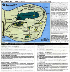
Butrint and its monuments Map
377 miles away
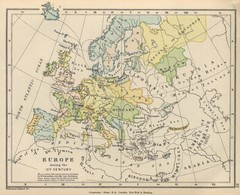
Europe 15th Century Colbeck Map
Europe during the 15th Century
377 miles away
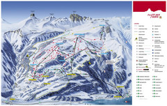
Flumserberg Ski Trail Map
Trail map from Flumserberg.
378 miles away
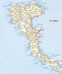
Corfu Guide Map
378 miles away
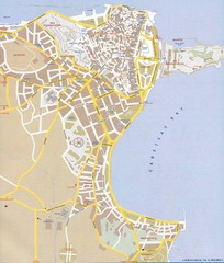
Corfu Town Map
Tourist map of town of Corfu (Kerkyra) on the island of Corfu, Greece.
378 miles away
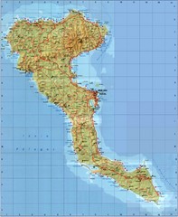
Corfu Tourist Map
Tourist map of island of Corfu, Greece. Shows roads and points of interest.
378 miles away
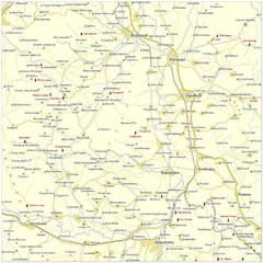
Monasteries in central Serbia (Levač area) Map
Levač is historic area in the central part of Serbia around Morava river.
378 miles away

