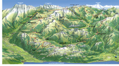
Arkabarka Hostel Location Map
354 miles away
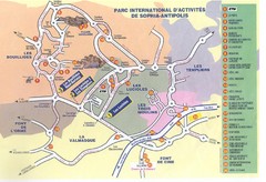
Sophia Antipolis Tourist Map
354 miles away
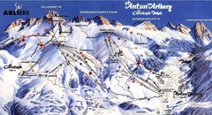
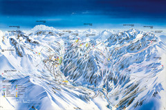
Arlberg – St Anton Ski Trail Map
Trail map from Arlberg – St Anton.
354 miles away
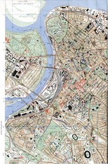
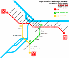
Belgrade Map
City map of Belgrade, Serbia (Beograd)
354 miles away
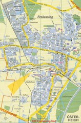
Freilassing Map
Street map of Freilassing
355 miles away
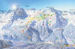
Montafon Ski Trail Map
Trail map from Montafon.
356 miles away
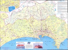
Cannes Map
356 miles away
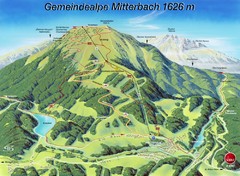
Mitterbach-Gemeindalpe Summer Ski Trail Map
Trail map from Mitterbach-Gemeindalpe.
356 miles away
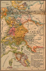
Germany Italy 1806 Map
Germany and Italy in 1806 at the dissolution of the Roman Empire
356 miles away
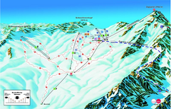
Garmisch Partenkirchen Ski Trail Map
Trail map from Garmisch Partenkirchen.
357 miles away
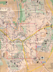
Veszprem City Map
City map of Veszprem, Hungary. Scanned.
357 miles away

Bácsföldvár Map
357 miles away
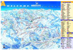
St Anton Region Ski map
Panoramic ski map covers St. Anton, St. Christoph, St. Jakob, Stuben, Zurs, Zug, Lech, and Oberlech...
357 miles away
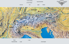
Alps Top Resort Town Map
Shows 12 top 4 season mountain resort towns in the Alps in France, Switzerland, Austria, and Italy.
357 miles away
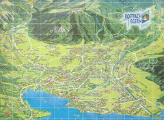
Rottach Egern Map
358 miles away
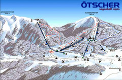
Ötscher Lackenhof Ski Trail Map
Trail map from Ötscher Lackenhof.
359 miles away
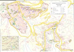
Enna Map
359 miles away
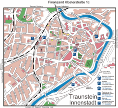
Traunstein Map
Street map of Traunstein
360 miles away
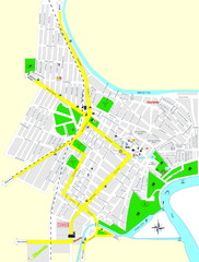
Óbecse Map
361 miles away
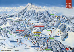
Annaberg Ski Trail Map
Trail map from Annaberg.
361 miles away
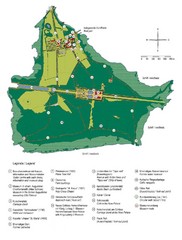
Chiemsee Island Germany Tourist Map
Tourist map of the island showing all the tourist sites.
362 miles away
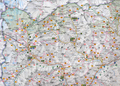
Northern Italy Map
Map of very north of Italy. Shows all towns, roads, recreational activities and gas stations.
362 miles away

East Central and Southeast Europe Nationality Map
Shows color-coded nationalities on map of central eastern and southeastern Europe. 1989-1992
364 miles away
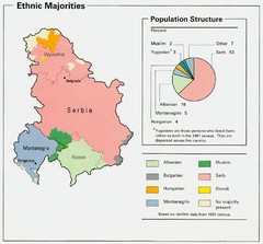
Serbia and Montenegro Ethnic Majorities Map
Map of ethnic majorities throughout Serbia and Montenegro
364 miles away
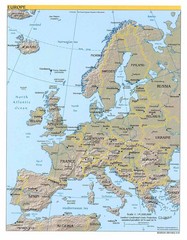
Europe relief Map
Map of Europe showing mountains, cities, countries and borders
364 miles away
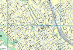
Szabadka belváros Map
364 miles away
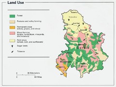
Serbia and Montenegro Land Use Map
Map of Serbia and Montenegro's land use
365 miles away
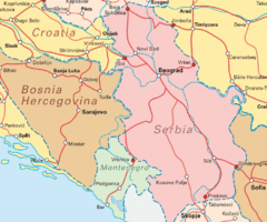
Interrail Routes for Serbia Map
Interrail Railway Routes for Serbia, Bosnia Hercegovina and Croatia.
365 miles away
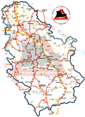
Serbia Road Map
Road map of Serbia, including major cities and locations.
365 miles away
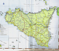
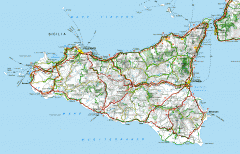
Sicily Map
365 miles away
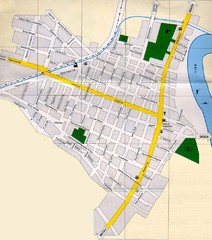
Péterréve Map
366 miles away
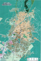
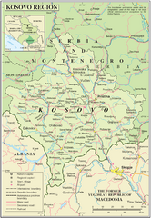
Pristina Tourist Map
Tourist map of Pristina, Kosovo.
366 miles away
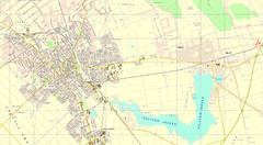
Szabadka és környéke Map
366 miles away
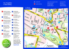
Bad Aibling Tourist Map
Tourist parking map of downtown Bad Aibling
366 miles away
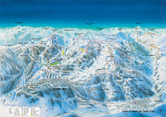
Auron Saint-Etienne-de-Tinée Ski Trail Map
Trail map from Auron Saint-Etienne-de-Tinée.
367 miles away

