Vulcano map
306 miles away
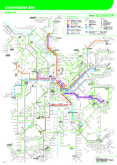
Graz Tram and Bus Map
Shows 8 tram lines and 23 bus lines in Graz, Austria
307 miles away
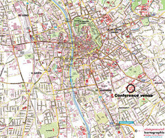
Graz Street Map
Street map of Graz, Austria. Shows main streets.
307 miles away

Central Balkan Map
Countries in Central Europe
308 miles away

Sulden Ski Trail Map
Ski trail map of Sulden (Solda), Italy in the Ortler Alps. Shows trails and lifts.
310 miles away
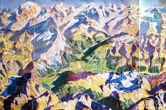
Bormio Panorama Map
Panorama tourist map of Bormio, Italy. Shows Ortler Alps in distance. From photo.
310 miles away
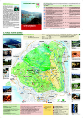
Monte Barro Map
311 miles away
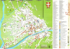
Bormio Tourist Map
Tourist map of town of Bormio, Italy. Legend of all streets and services.
312 miles away
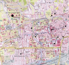
Pecs City Map
312 miles away

Sulden Trafoi Summer Hiking Map
Summer hiking route map of Sulden (Solda) Italy, Trafoi, Italy and Stelvio, Italy. Shows hiking...
312 miles away
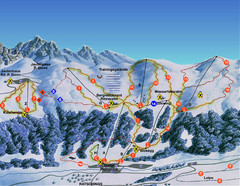
Ratschings / Racines Ski Trail Map
Trail map from Ratschings / Racines.
313 miles away
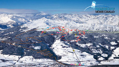
Rosskopf (Vipiteno) Ski Trail Map
Trail map from Rosskopf (Vipiteno), which provides downhill skiing. It has 4 lifts. This ski area...
313 miles away
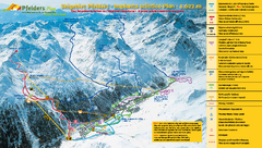
Pfelders Ski Trail Map
Trail map from Pfelders, which provides downhill and nordic skiing. This ski area has its own...
313 miles away
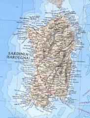
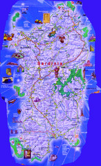
Sardinia Relief Map
Map of Sardinia showing mountain elevations, cities and major roads.
315 miles away
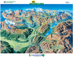
Valdidentro Alta Valtellina Summer Map
Panorama tourist map of the region of Valdidentro Alta Valtellina from Bormio, Italy to Livigno...
316 miles away
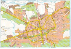
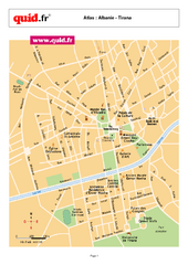
Tiranë Street Map
Street map of central Tirane (Tirana), Alabania. Scanned.
316 miles away
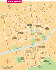
Tirana Map
316 miles away
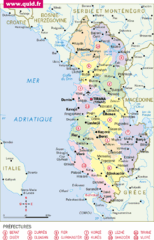
albanie Map
316 miles away
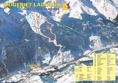
Ladurns Ski Trail Map
Trail map from Ladurns, which provides downhill skiing. This ski area has its own website.
317 miles away
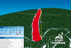
Ski Centar Divcibare Ski Trail Map
Trail map from Divcibare.
317 miles away
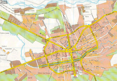
Tirane City Tourist Map
Information, hospitals and places of interest.
317 miles away
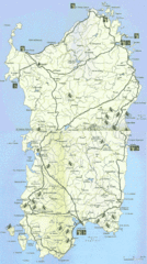
Sardinia Mountain Biking Trail Map
Trail map of mountain biking trails on the island of Sardinia, Italy. Shows entire island. Scanned.
317 miles away

Bács Map
319 miles away
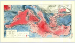
International Bathymetric Chart of the...
This Bouguer gravity anomaly map was compiled by Jannis Makris of the Institut fur Geophysik in...
319 miles away
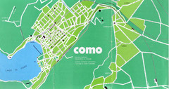
Como City Map
City map and historical sites of Como, Italy.
321 miles away
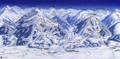
Planai-Hochwurzen Ski Trail Map
Trail map from Schladming.
321 miles away
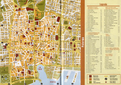
Palermo Tourist Map
Tourist map of center Palermo, Italy. Shows points of interest. Scanned.
322 miles away
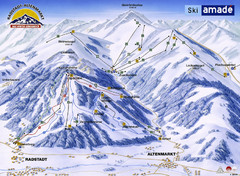
Ski Amade Map
322 miles away
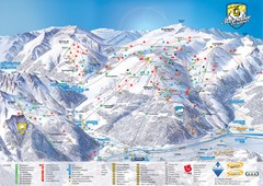
Mayrhofen Ski Trail Map
Trail map from Mayrhofen.
322 miles away
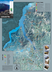
Lake Como Mountain Biking Trail Map
Trail map of mountain biking routes around Lake Como, Italy.
322 miles away
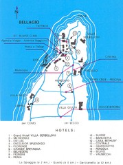
Bellagio Map
322 miles away
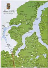
Lake Como Map
Map of lake with detail of surrounding towns
323 miles away
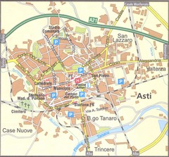
Asti Map
323 miles away
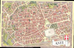
Asti Map
323 miles away
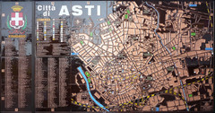
Asti map at stazione
323 miles away
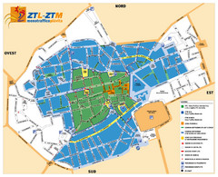
Asti Traffic Zone Map
Traffic zone map of city of Asti, Italy from the ZTL (Zona Traffico Limitado).
323 miles away
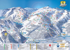
Mayrhofen Ski Trail Map
Ski trail map of Mayrhofen ski area in Austria.
324 miles away

