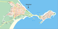
Nessebar, Bulgaria Tourist Map
The area around Nessebar, Bulgaria
220 miles away
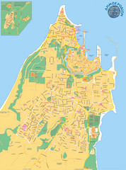
Rhodes City Map
City street map of city of Rhodes, Greece on the Greek island of Rhodes.
221 miles away

Kavos Guide Map
221 miles away
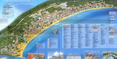
Sunny Beach Map
Sunny Beach lies near the town of Nessebar, Bulgaria on the Bulgarian Black Sea Riviera. Shows...
222 miles away
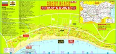
Sunny Beach Tourist Map
Sunny Beach is situated in the south of the Bulgarian "Riviera", just south of the Balkan...
222 miles away
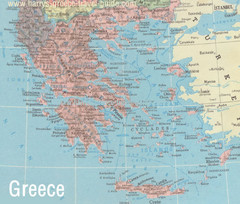
Big Greece Map
222 miles away
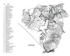
Patara plan map
Patara / Turkey is a touristic place of Mugla region
224 miles away
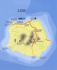
Nissyros Island Map
Overview map of the island of Nissyros (Nisiros), Greece.
227 miles away
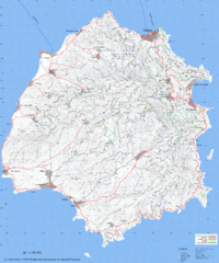
Thassos Topo Map
Topographical map of island of Thassos, Greece. Shows roads and trails.
232 miles away
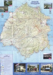
Thassos - Hertz Map
233 miles away
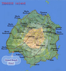
Thassos Island, Greece Tourist Map
235 miles away
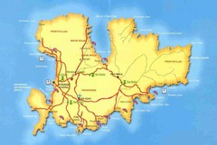
Mykonos Bus Tour Map
238 miles away
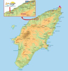
Rhodes Map
239 miles away
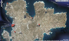
Mykonos Attractions Map
Mykonos Gold is the best travel guide of Mykonos island Greece. Here is the map of a variety of...
239 miles away
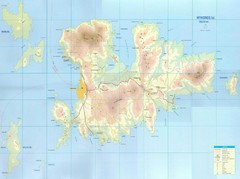
Mykonos Island Map
Also shows Delos Island and Rinia Island.
240 miles away
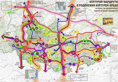
Cultural and Tourist Routes in Rhodopi Cultural...
Map of southern Bulgaria region shows a network of possible leading cultural routes – a basis...
240 miles away
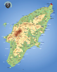
Rhodes Physical Map
Shaded physical map of island of Rhodes, Greece.
240 miles away
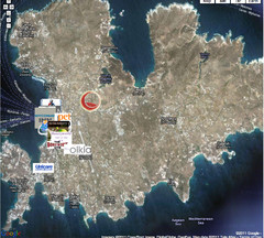
Mykonos Gold Map
241 miles away
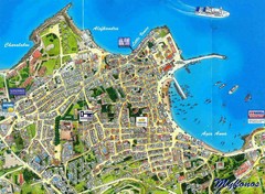
Mykonos Town Map
241 miles away
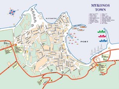
Mykonos Town Map
Tourist map of the town of Mykonos on the island of Mykonos, Greece. Shows points of interest.
241 miles away
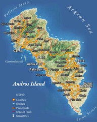
Andros Island Tourist Map
Tourist Map of Andros, Greece showing roads, towns, beaches.
246 miles away

Roman Empire Historical Map
248 miles away
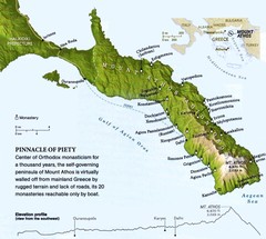
Mount Athos Monasteries Map
250 miles away
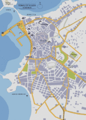
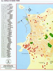
Naxos Town Map
Simplified tourist map of town of Naxos, Greece.
255 miles away
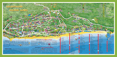
Golden Sands Varna Tourist Map
255 miles away
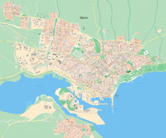
Varna Tourist Map
Tourist map of Varna, Bulgaria. Shows points of interest.
255 miles away

Varna, Bulgaria Public Transportation Map
256 miles away
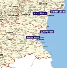
Varna Location Map
256 miles away
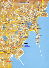
Ermoupolis Map
258 miles away

Golden Sands Map
Map of Golden Sands residential area
259 miles away

Golden Sands Map
Guide to Golden Sands Resort, Bulgaira
259 miles away
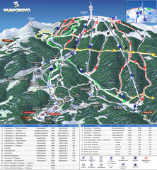
Pamporovo ski map
261 miles away
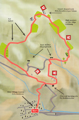
Sikia Circular Walk Map
Map of a circular walk from Sikia. 4 hours. From agrotravel.gr: "This walk takes one on a...
262 miles away
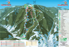
Chepelare ski map
263 miles away
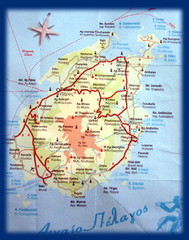
Paros Island Map
Overview map of island of Paros, Greece. Photo of paper map.
265 miles away
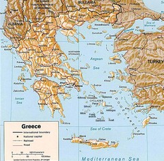
Greece Map
Map of Greece and surrounding countries showing cities, roads, railroads and borders.
267 miles away

