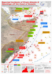
Somali Pirate Attacks Map as of Dec 12, 2007
Shows reported incidents of pirate attacks and hijackings off the coast of Somalia from Jan 2005...
1814 miles away
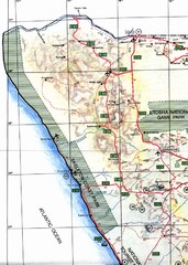
Northwestern Namibia Map
1819 miles away

Leptis Magna Map
1820 miles away
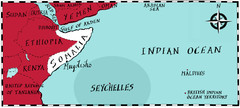
Somalia by Maps Illustrated Map
Map from Diplomat Magazine showing the location of Somalia and the area of sea that the Seychelles...
1823 miles away
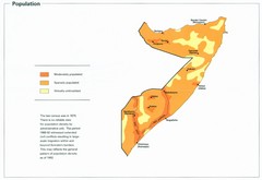
Somalia Population Density Map
Map of Somalia's population density
1823 miles away
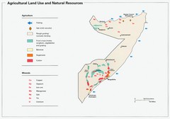
Somalia Land Use Map
Map of Somalia's agricultural land use and natural resources
1823 miles away
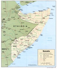
Somalia Map
Basic map and legend marking borders and cities.
1823 miles away
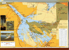
Moremi Game Reserve at Okavango Delta Map
1828 miles away
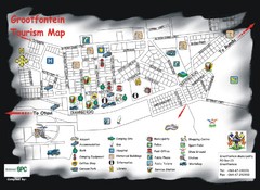
Grootfontein Tourist Map
Tourist map of Grootfontein, Namibia. Shows points of interest.
1828 miles away
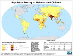
Population Density of Underweight Children World...
Shows world population density of malnourished children. Data as of 1995 or 1990.
1830 miles away

Okavango Delta Map
1833 miles away
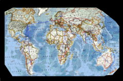
World Map
1834 miles away

Early East and Central Africa Map - Slug Map
Sketch of a Map from 1 & deg;N. to 15 & deg;S. Latitude and from 23 & deg; to 43 &...
1840 miles away
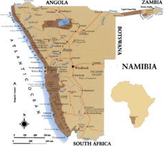
Namibia Map
1844 miles away
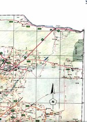
Northeast Namibia Map
1847 miles away
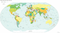
World Map 2007
Political map of the world as of 4/2007
1848 miles away
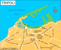
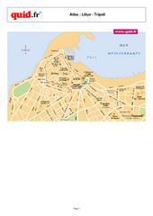
Tripoli City Map
Visit this city for its wonderful restaurants and beautiful views.
1850 miles away

Tripoli Map
1851 miles away
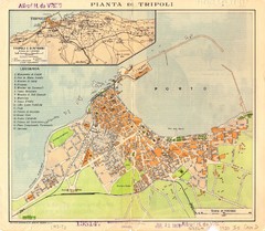
Tripoli City Map
City map of Tripoli, Libya. Shows points of interest. Scale 1:20,000. In Italian.
1852 miles away
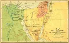
Sinai Peninsula Map - Journey of Israelites from...
Map of Sinai Peninsula showing the journeys of Israelites from Egypt to Promised Land.
1855 miles away
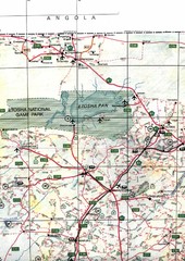
Northern Central Namibia Map
1861 miles away
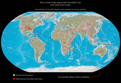
World Map
1868 miles away
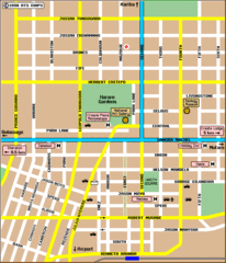
Harare City Tourist Map
Map of city center with detail of street names and hotels
1871 miles away

Mediterranean 2001 tectonics & kinematics Map
1872 miles away
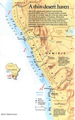
Skeleton Coast Map
1882 miles away
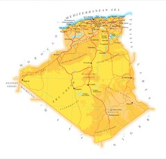
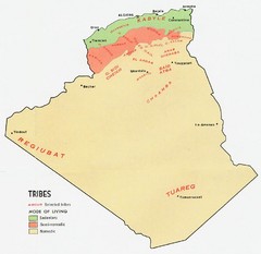
Algeria phydical Map
1884 miles away
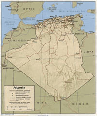
Algeria Tourist Map
1886 miles away
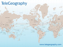
Submarine Cable Map
Shows over 120 submarine cable systems, including major systems that are in service as well as...
1888 miles away
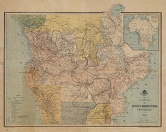
Map Color Pink: Portuguese States of Africa
"Map Color Pink" was the name given to the Portuguese project to link Angola to...
1888 miles away
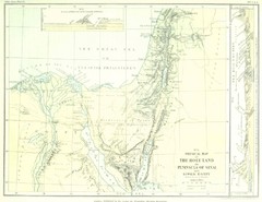
Israel and Sinai Map
The Holy Land -- Peninsula of Sinai -- Lower Egypt
1898 miles away
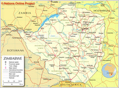
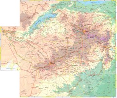
Zimbabwe Tourist Map
1898 miles away
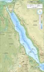
Saudi Arabia topography on Red sea coast Map
1902 miles away
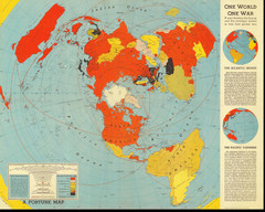
One World One War Map 1942
A map showing the lineup and strategic stakes in World War 2 as of Feb 1, 1942. From Fortune, 1942
1906 miles away

Middle East Map
Map of the Middle East countries and their capitals.
1907 miles away
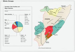
Somalia Ethnic Groups Map
Map of ethnic groups throughout Somalia
1909 miles away
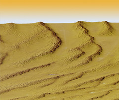
Digital Elevation Model Ataq, Yemen Map
Digital Elevation Model Ataq, Yemen Map
1914 miles away
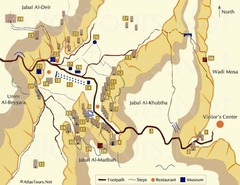
Petra and monuments Map
1919 miles away

