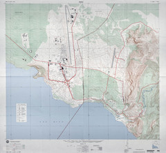
Goma Map
Goma, Democratic Republic of the Congo • original scale 1:7,500, Edition 3-DMA, Series Z091.
880 miles away
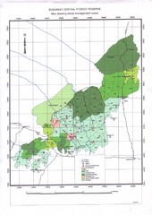
Budongo Forest Map
Budongo Forest Map Shows color-coded forest management zones.
892 miles away

Niger Map
917 miles away
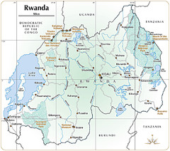
Rwanda Parks and Rainforest Map
921 miles away
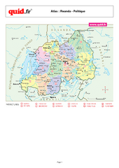
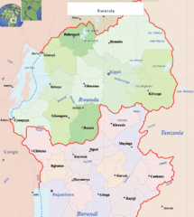
Rwanda Regional Map
Map of Rwanda with detail of regional divides
925 miles away
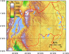
Rwanda Topography Map
925 miles away
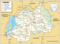
Rwanda Road Map
928 miles away
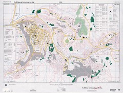
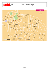
Kigali Road Map
936 miles away
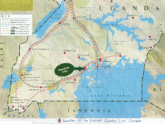
Uganda Tourist Map
Map of Uganda shows Trails and the proposed location of Equator City.
943 miles away
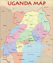
Uganda Political Map
Political map of Uganda. Shows regions, cities, and water features.
943 miles away

Niger population Map
948 miles away
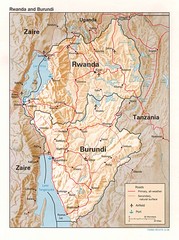
Rwanda Topographic Map
Guide to the African country of Rwanda
953 miles away
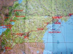
Uganda Tourist Map
966 miles away
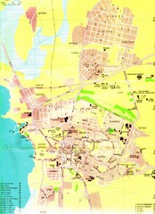
Bujumbura City Map
968 miles away
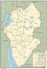
Rwanda and Burundi Guide Map
975 miles away
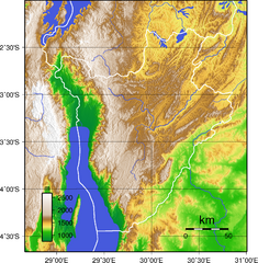
Burundi Topography Map
Color-coded physical relief map of country of Burundi
988 miles away
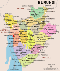
Burundi Political Map
989 miles away
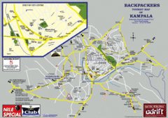
Kampala Tourist Map
Tourist map of Kampala
992 miles away
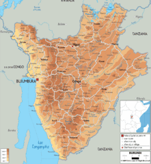
Burundi Physical Map
993 miles away
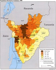
Burundi Population Density Map
Map of Burundi's population density by commune
995 miles away
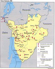
Burundi Power Plant Map
Map marking hydroelectric and thermal power plants, plus transmission lines.
995 miles away
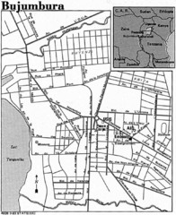
Burundi City Map
Simple city map labeling road systems.
995 miles away
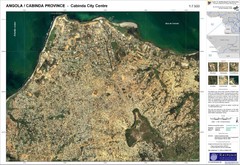
Cabinda City Map
Topo city map of central Cabinda, Angola. Shows points of interest.
1003 miles away
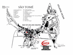
Sao Tome City Map
City map of Sao Tome with tourist information
1005 miles away
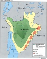
Burundi Agricultural Map
Map of Burundi's major agricultural areas
1005 miles away
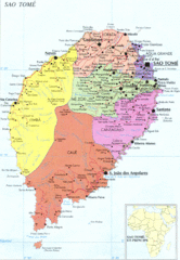
Sao Tome Political Map
Political map of island of São Tomé, lying on the equator off the west coast of...
1016 miles away

Niger population density Map
1018 miles away
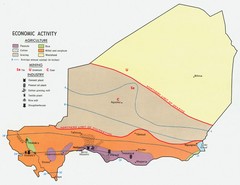
Niger 1969 Economic Activity Map
Guide to the economic activity of Niger in 1969
1036 miles away

World Map
1047 miles away
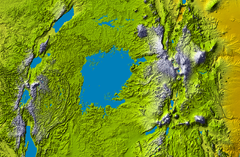
Lake Victoria topography Map
1056 miles away
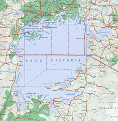
Lake Victoria 1968 Map
1059 miles away
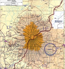
Mount Elgon topo. Map
1085 miles away
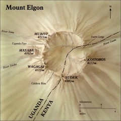
Mount Elgon shaded relief Map
1090 miles away
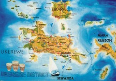
Ukerewe Island Lake Victoria Map
1103 miles away
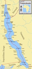
Lake Tanganyika Map
Deepest Lake in Africa at 4823 ft.
1134 miles away
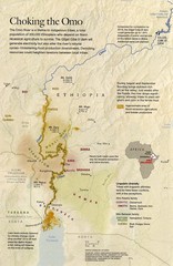
Omo River Ethiopia Map
Choking of the Omo River from National Geographic Magazine
1142 miles away
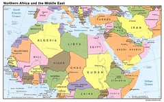
Northern Africa Map
Map of Northern Africa and Middle East
1148 miles away

