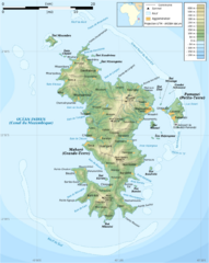
Mayotte Topographic Map
Guide to the island nation of Mayotte
2212 miles away
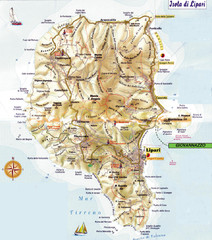
Lipari map
2212 miles away
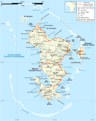
Mayotte Map
Guide to the country of Mayotte, an overseas collectivity of France
2213 miles away
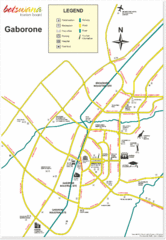
Gaborone City Map
Map and legend marking sites in this most populated city of Botswana.
2216 miles away
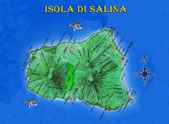
Isola di Salina Map
Island map of Isola di Salina, off the north coast of Sicily. Shows volcanoes and towns of Leni...
2217 miles away
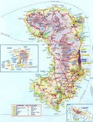
Chios Tourist Map
Tourist map of island of Chios, Greece. Shows points of interest. In Greek. Scanned.
2218 miles away

89 Map
Tourist map of Gaborone, Botswana. Shows major streets and points of interest.
2219 miles away
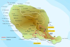
Filicudi map
2220 miles away
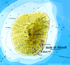
Alicudi Map
2220 miles away
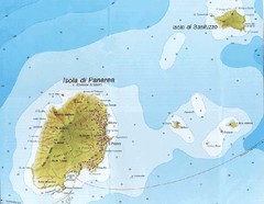
Panarea Map
2220 miles away
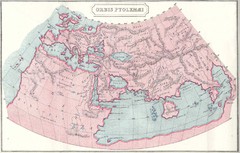
Ptolemy World Map
Map of the World according to Ptolemy
2221 miles away
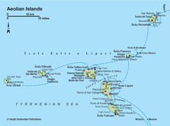
Aeolian islands map
2221 miles away
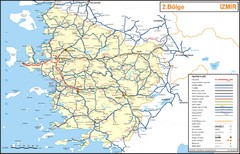
Izmir Region Highways Map
2221 miles away
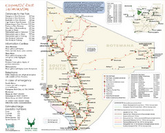
Kgalagadi Transfrontier Park Map
2222 miles away
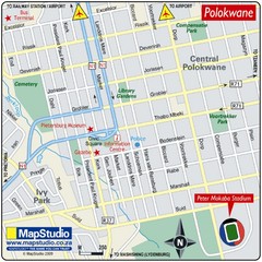
Peter Mokaba Stadium, Polokwane, South Africa Map
Location Map for Peter Mokaba Stadium, Polokwane, Limpopo Province, South Africa. Venue for 2010...
2225 miles away
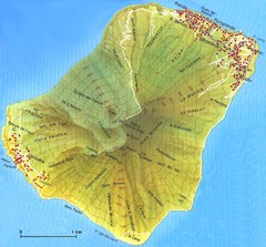
Stromboli Map
2229 miles away
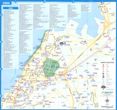
Izmir - Konak Map
2234 miles away
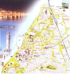
Izmir center Map
2234 miles away
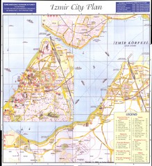
Izmir city plan Map
2235 miles away
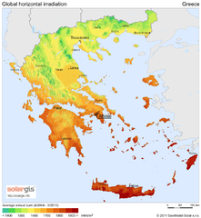
Solar Radiation Map of Greece
Solar Radiation Map Based on high resolution Solar Radiation Database: SolarGIS. On the Solar Map...
2235 miles away
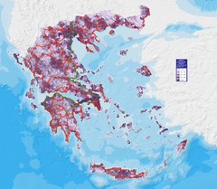
Greece Population Density Map
Shows population density of Greece. Inhabitants per square kilometer.
2235 miles away
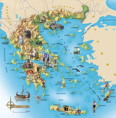
Greece Tourist Map
Stylized tourist map of Greece showing ancient points of interest. In Russian.
2235 miles away
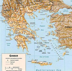
Greece Map
Map of Greece and surrounding countries showing cities, roads, railroads and borders.
2243 miles away

Blank World Map
2246 miles away
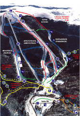
3–5 Pigadia Ski Trail Map
Trail map from 3–5 Pigadia.
2253 miles away
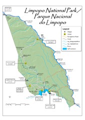
Limpopo National Park Map
2254 miles away

Agean Sea Map
2254 miles away
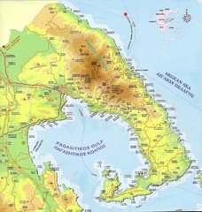
Pelion Tourist Map
Tourist map of Pelion region of Greece including city of Volos. Shows points of interest. Scanned.
2255 miles away
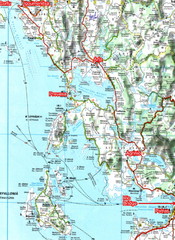
Igoumenitsa to Patras Travel Map
2258 miles away

Egirdir Map
2259 miles away
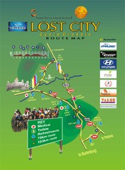
Lost City Cycle Classic Route Map
Cycle route map of the 2007 Lost City Cycle Classic near Rustenburg, South Africa.
2259 miles away
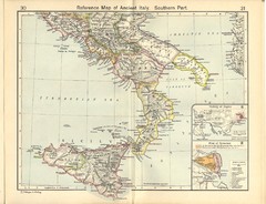
Ancient Italy, Southern Part Map
Reference Map of ancient Italy, southern part. Shows insets of Naples and Syracuse.
2260 miles away
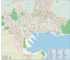
Volos Tourist Map
Tourist map of Volos, Greece. Shows points of interest and some conference info.
2260 miles away

Kruger National Park Map
2261 miles away
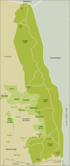
Kruger National Park South Africa Map
Tourist map of Kruger National Park in South Africa.
2261 miles away
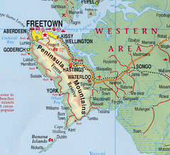
Freetown Map
Clear map of this amazing peninsula.
2263 miles away
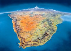
Southern Africa Panorama Map
Panoramic view of southern Africa. Shows South Africa, Namibia, Botswana, Angola, Zambia, Zimbabwe...
2263 miles away
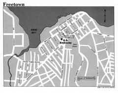
Freetown City Map
Road map of this Sierra Leone Capitol.
2264 miles away
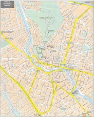
Trikala Street Map
Street map of central Trikala, Greece. In Greek and English. Scanned.
2268 miles away

