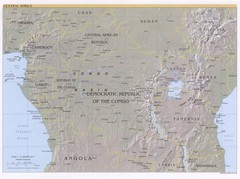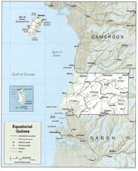
Equatorial Guinea Guide Map
745 miles away
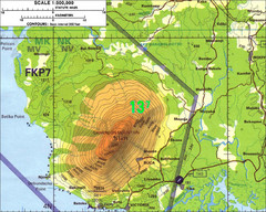
Mt Cameroon Topo Map
Topographic map of Mt. Cameroon, 13,255 feet.
750 miles away
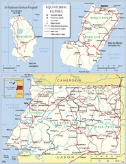
Equatorial Guinea Admin. Map
759 miles away
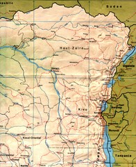
Zaire (Eastern Region) Map
Eastern Zaire (now Democratic Republic of the Congo)
759 miles away
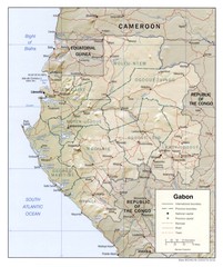
Gabon physical Map
762 miles away
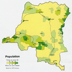
Zaire Population Map
This map clearly marks the distribution of Zaire's population.
764 miles away
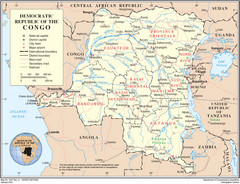
Democratic Republic of Congo Map
Overview map of the Democratic Republic of Congo (DRC).
764 miles away
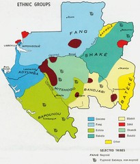
Gabon ethnic groups Map
770 miles away
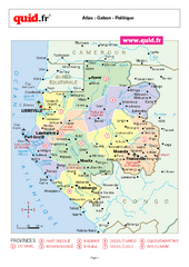
Gabon Regional Map
Map of Gabon with detail of regional divides
771 miles away
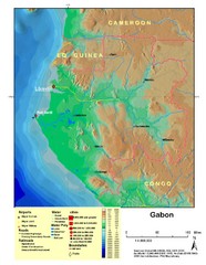
Gabon Shaded Relief Map
Shaded relief map of Gabon. Shows airports, railroads, roads, and cities.
771 miles away
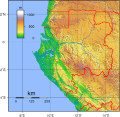
Gabon Topography Map
771 miles away
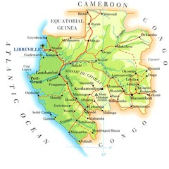
Gabon Map
779 miles away
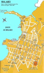
Malabo city Map
785 miles away
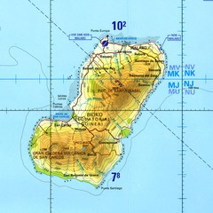
Bioko-Fernando Po island Map
794 miles away
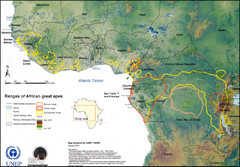
African Great Apes Habitat Range Map
Shows habitat ranges of chimpanzees, bonobos, and gorillas
795 miles away
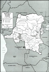
Republic of the Congo 1964 Military Map
Map of the military situation with a hostage crisis in 17 July 1964. Map shows rebel forces and...
826 miles away
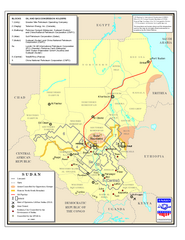
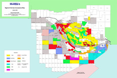
Sudan Oil and Gas Map
Map of Sudan's oil and gas concession holders
826 miles away
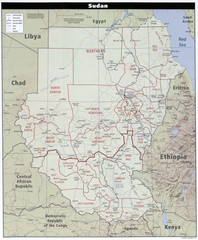
Sudan Map
Clear map of this amazing African nation.
826 miles away
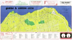
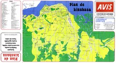
Kinshasa Gombe and Centreville Tourist Map
Tourist map of Gombe and Centreville in Kinshasa. Shows streets and points of interest. In French...
829 miles away
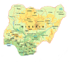
Nigeria Map
829 miles away
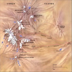
Rwenzori National Park Mt. Stanley Map
830 miles away
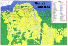
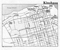
Kinshasa Overview Map
Overview map of Kinshasa, Democratic Republic of Congo shows major streets.
831 miles away
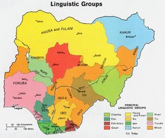
Nigeria Linguistic groups 1979 Map
834 miles away
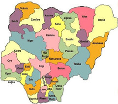
Nigeria political regions Map
836 miles away
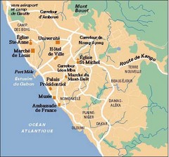
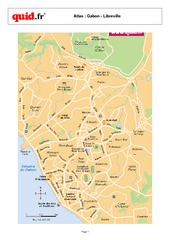
Libreville City Map
Simple map marking towns and roads.
838 miles away
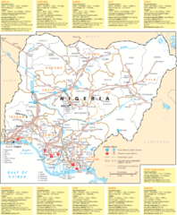
Nigeria electric grid Map
844 miles away
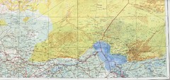
Lake Chad and Eastern Niger Physical Map
Physical map covers Lake Chad and East Niger. Shows roads and topography. Portion of Sheet 13...
851 miles away
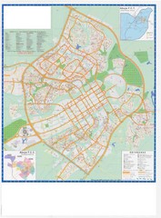
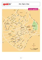
Abuja City Tourist Map
Tourist map of Abuja, Nigeria. Mostly illegible.
854 miles away
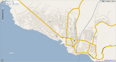
Goma, Congo street map
Street map of eastern Congo–Kinshasha city of Gome, near the Rwanda border. Produced by...
879 miles away
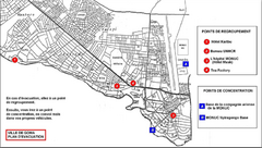
City of Goma Evacuation Plan, late 2007 Map
Map of Goma indicating evacuation points for Congolese government push against rebel groups (mostly...
879 miles away
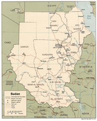
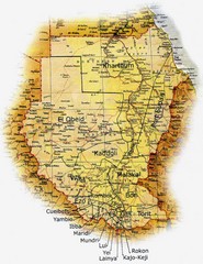
Sudan Map
Railroads, tracks, cities and borders are are marked on this clear map and legend.
879 miles away

