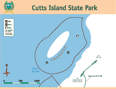
Cutts Island Stay Park Map
Map of park with detail of trails and recreation zones
98 miles away
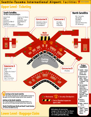
SeaTac Airport Map
98 miles away
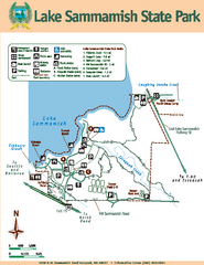
Lake Sammamish State Park Map
Map of island with detail of trails and recreation zones
98 miles away
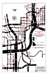
Renton WA Traffic Flow Map
City of Renton, WA traffic flow map
98 miles away
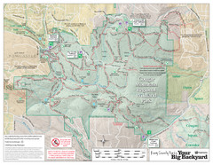
Cougar Mountain Park Trail Map
Trail map of Cougar Mountain Regional Wildland Park, part of the "Issaquah Alps"
98 miles away
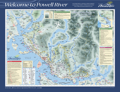
Upper Sunshine Coast Recreation Map
Recreation map of Upper Sunshine Coast in BC. Shows hiking trails, kayaking and canoeing routes...
98 miles away
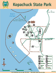
Kopachuck State Park Map
Map of island with detail of trails and recreation zones
98 miles away
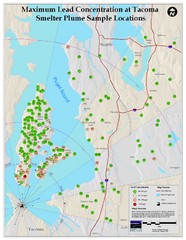
Tacoma Lead Concentration Map
A map of maximum lead concentrations near Tacoma.
99 miles away
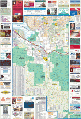
Issaquah tourist map
Issaquah, Washington tourist map. Shows all businesses.
99 miles away

Tourist map of Downtown Des Moines, Washington
Tourist map of Downtown Des Moines, Washington. Shows all businesses.
99 miles away

Des Moines Washington tourist map
Tourist map of Des Moines, Washington, including Kent and SeaTac airport.
99 miles away
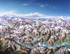
North Cascades National Park Oblique Map
Oblique map looking across Ross Damn, and Diablo Lake towards Seattle
100 miles away
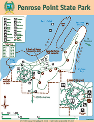
Penrose Point State Park Map
Map of park with detail of trails and recreation zones
101 miles away
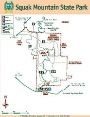
Squak Mountain State Park Map
Map of park with detail of trails and recreation zones
101 miles away
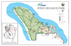
Point Defiance Park Map
101 miles away
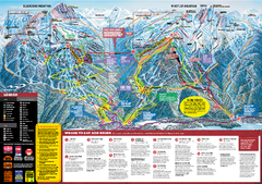
Whistler Blackcomb Trail map 2010-2011
Official ski trail map Whistler Blackcomb for the 2010-2011 season.
102 miles away
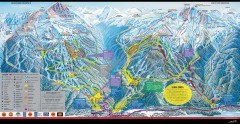
Whistler Blackcomb Ski Trail map 2005-06
Official ski trail map of the Whistler Blackcomb ski area from the 2005-2006 season. Site of the...
102 miles away

Creekside Map
Tourist map of Creekside Village
102 miles away
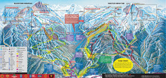
Whistler Blackcomb Ski Trail Map 2007-2008
Official ski trail map of the Whistler Blackcomb ski area from the 2007-2008 season. Site of Alpine...
102 miles away
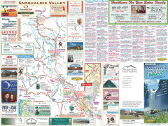
Snoqualmie Valley tourist map
Tourist map of the Snoqualmie Valley, Washington. Shows all businesses.
102 miles away
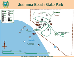
Joemma Beach State Park Map
Map of park with detail of trails and recreation zones
102 miles away
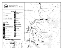
Garibaldi Provincial Park Map
Park map of Garibaldi Provincial Park, BC. 2 pages.
103 miles away
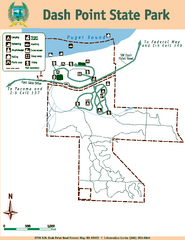
Dash Point State Park Map
Map of park with detail of trails and recreation zones
103 miles away
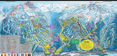
Whistler Blackcomb Ski Resort Map
Ski runs, lifts and amenities on the resort map
103 miles away
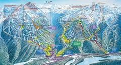
Whistler Blackcomb Trail Map
103 miles away
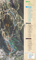
Whistler Blackcomb (Garibaldi Lift Co.) Biking...
Trail map from Whistler Blackcomb (Garibaldi Lift Co.), which provides downhill, night, and terrain...
103 miles away
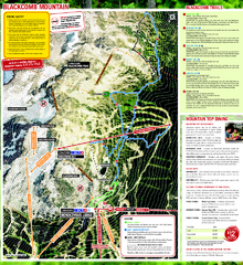
Whistler Blackcomb (Garibaldi Lift Co.) Hiking...
Trail map from Whistler Blackcomb (Garibaldi Lift Co.), which provides downhill, night, and terrain...
103 miles away
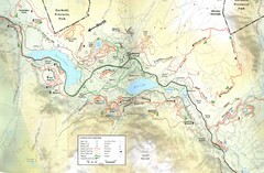
Whistler, CA Hiking and Biking Trails Map
103 miles away
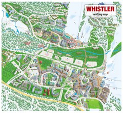
Whistler Village Map
103 miles away
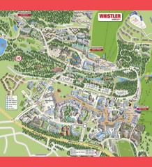
Whistler Village Map
103 miles away
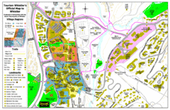
Whistler Village Map
104 miles away
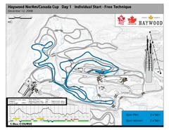
Whistler Olympic Park (Callaghan Nordic Centre...
Trail map from Whistler Olympic Park (Callaghan Nordic Centre), which provides night and nordic...
104 miles away
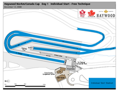
Whistler Olympic Park (Callaghan Nordic Centre...
Trail map from Whistler Olympic Park (Callaghan Nordic Centre), which provides night and nordic...
104 miles away
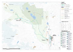
Callaghan Country Nordic Ski Trail Map
Trail map from Callaghan Country, which provides nordic skiing. This ski area opened in 1998, and...
104 miles away
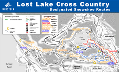
Whistler Cross Country Connection Snowshoeing Ski...
Trail map from Whistler Cross Country Connection.
104 miles away
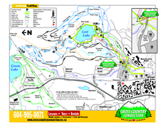
Whistler Cross Country Connection 2006–07...
Trail map from Whistler Cross Country Connection.
104 miles away
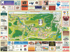
Snoqualmie tourist map
Snoqualmie, Washington tourist map. Shows all businesses.
104 miles away
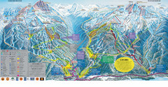
Trail Map Whistler Blackcomb
Map of all trails and ski runs at Whistler and Blackcomb mountains. Includes detailed information...
104 miles away
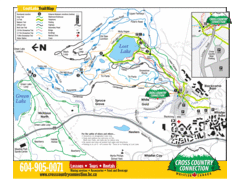
Lost Lake, Whistler Hiking and Biking Trail Map
104 miles away

