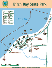
Birch Bay State Park Map
Map of park with detail of trails and recreation zones
33 miles away
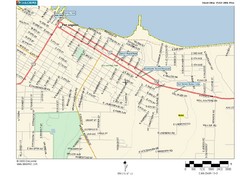
Port Angeles City Map
37 miles away
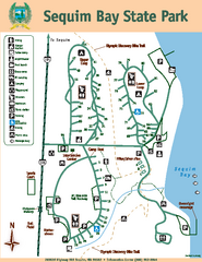
Sequim Bay State Park Map
Map of park with detail of trails and recreation zones
37 miles away
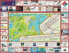
Anacortes tourist map
Tourist map of Anacortes, Washington. Shows recreation and points of interest.
38 miles away
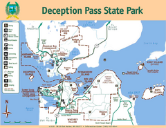
Deception Pass State Park Map
Map of park with detail of trails and recreation zones
39 miles away
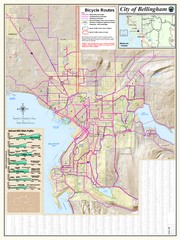
Bellingham, Washington City Map
39 miles away
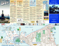
Fidalgo Island tourist map
Tourist map of Fidalgo Island in Anacortes, Washington. Shows recreation and points of interest.
39 miles away
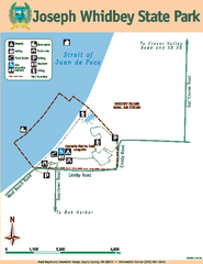
Joseph Whidbey State Park Map
Map of park with detail of trails and recreation zones
40 miles away
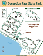
Deception Pass State Park Map
Map of park with detail of trails and recreation zones
40 miles away
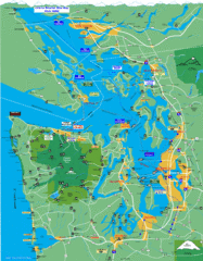
Seattle Ferry Guide Map
Map of ferries around Seattle, Puget Sound and Olympic Peninsula
41 miles away
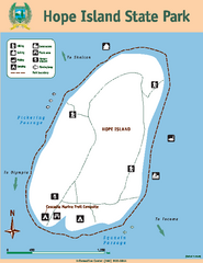
Hope Island State Park Map
Map of park with detail of trails and recreation zones
41 miles away
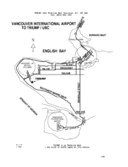
Vancouver Locational Map
Visitor Information Map includes directions from the Vancouver International Airport to the...
41 miles away
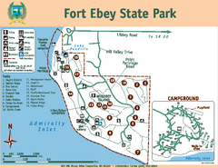
Fort Ebey State Park Map
Map of park with detail of trails and recreation zones
42 miles away
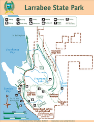
Larrabee State Park Map
Park map of Larrabee State Park, Washington.
42 miles away
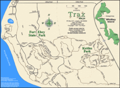
Ft Ebey/Kettle Park Trail Map
Trail map of Fort Ebey Park and Kettle Park, Washington
42 miles away
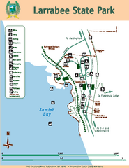
Larrabee State Park Map
Map of island with detail of trails and recreation zones
42 miles away
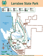
Larrabee State Park Map
Map of island with detail of trails and recreation zones
42 miles away
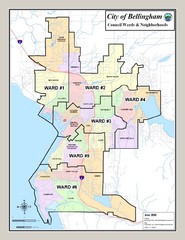
Bellingham Ward Map
Guide to wards in Bellingham, WA
42 miles away
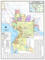
Bellingham, Washington City Map
42 miles away

Oak Harbor tourist map
Tourist map of Oak Harbor, Washington. Shows all businesses.
43 miles away
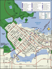
Vancouver Tourist Map
Tourist map of downtown Vancouver
43 miles away
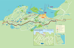
Nanaimo City Map
Map of Nanaimo, BC. Shows trails and parks.
43 miles away
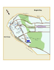
Downtown Vancouver Map
43 miles away
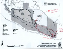
Lake Padden Park Trails Map
Course Elevation Map noted in handwriting on map. Festival location noted as well.
44 miles away
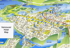
Vancouver Hotels Map
44 miles away
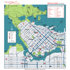
Downtown Vancouver Map
44 miles away
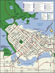
Vancouver Map
Street map of Vancouver
44 miles away
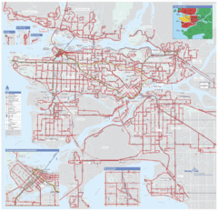
Vancouver Regional Transportation System Map
44 miles away

Coupeville tourist map
Tourist map of Coupeville, Washington. Shows all businesses.
44 miles away
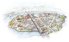
Granville Island Map
45 miles away
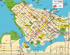
Vancouver Downtown Map
Detailed street map of Downtown Vancouver
46 miles away
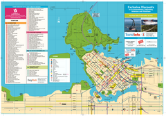
Map of Greater Vancouver
Tourism Vancouver's official map of Greater Vancouver. Shows accomodations, attractions...
46 miles away
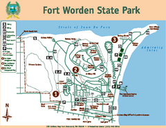
Fort Worden State Park Map
Map of park with detail of trails and recreation zones
46 miles away
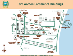
Fort Worden Conference Buildings Map
Map of conference buildings in Fort Worden State Park
46 miles away
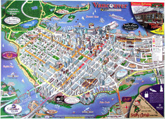
Vancouver Downtown Map
Panoramic tourist map of downtown Vancouver, BC. Shows major buildings in 3D.
46 miles away
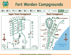
Fort Worden Campgrounds Map
Map of park campgrounds
46 miles away
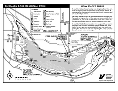
Burnaby Lake Park Trail Map
Trail map of Burnaby Lake Park in Vancouver, BC
46 miles away
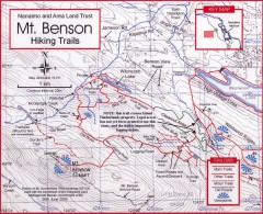
Mt. Benson Hiking Trail Map
Show hiking trails in the Nanaimo and Area Land Trust containing Mt. Benson. Also shows roads and...
46 miles away

