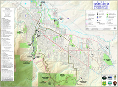
Ashland Trails Map
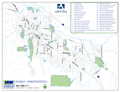
Trail map of Ashland, Oregon. Shows bicycle routes and public parks and trails.
448 miles away
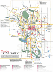
Calgary Map
448 miles away
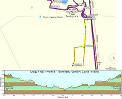
Onion Lake Dog Ski Trail Map
Trail map from Onion Lake, which provides nordic skiing. This ski area has its own website.
449 miles away
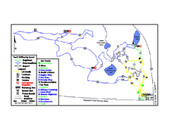
Onion Lake Ski Trail Map
Trail map from Onion Lake, which provides nordic skiing. This ski area has its own website.
449 miles away
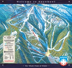
Montana Snowbowl Ski Trail Map
Trail map from Montana Snowbowl.
451 miles away

BTS Route Map
Map of BTS bus routes throughout Klamath Falls
451 miles away
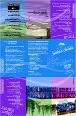
Bulkley Valley Ski Trail Map
Trail map from Bulkley Valley, which provides night and nordic skiing. This ski area has its own...
451 miles away

Missoula, Montana City Map
454 miles away
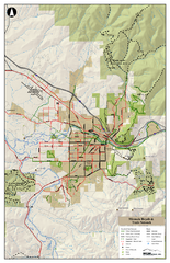
Missoula Bike Trails Map
Road and Mt. Bike trails with a bit of topology near Missoua
454 miles away

Missoula Trail System Map
Basic Map of Hike/Bike/Run Trail system for Missoula MT
454 miles away
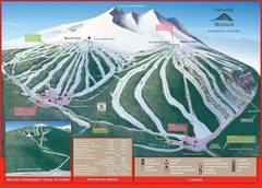
Ski Smithers Ski Trail Map
Trail map from Ski Smithers, which provides downhill and terrain park skiing. It has 3 lifts...
454 miles away
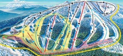
Mt. Ashland Ski Trail Map
Ski trail map of Mt. Ashland ski area near Ashland, Oregon
455 miles away
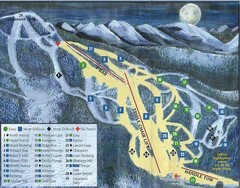
Marshall Mountain Ski Trail Map
Trail map from Marshall Mountain.
457 miles away
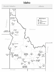
Idaho Airports Map
457 miles away
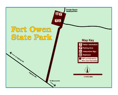
Fort Owen State Park Map
Fort Owen’s adobe and log remains preserves the site of the first permanent white settlement...
458 miles away
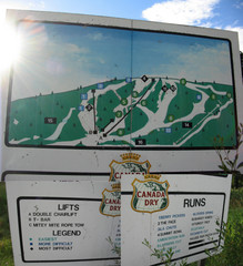
Silver Summit Ski Trail Map
Trail map from Silver Summit, which provides downhill and nordic skiing. This ski area has its own...
468 miles away
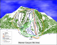
Warner Canyon Ski Trail Map
Trail map from Warner Canyon, which provides downhill skiing.
468 miles away
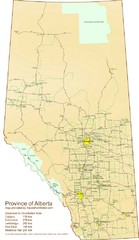
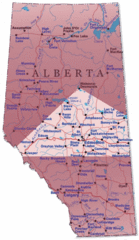
Alberta Tourist Map
Cities and areas in Alberta, Canada
469 miles away
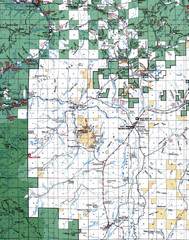
Clip07 Map
Visitor Maps of Klamath, central-western part of the park. Includes all roads, camp grounds...
470 miles away
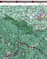
Klamath National Forest Map
Visitor Map of Klamath, western part of the park. Includes all roads, lakes, rivers and camping...
470 miles away

Lakeview Oregon Road Map
471 miles away
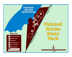
Painted Rocks State Park Map
Located in the scenic Bitterroot Mountains, this 23-acre park offers boating and water sport...
474 miles away

Edmonton, Alberta Tourist Map
Edmonton, Alberta and the area west of it
474 miles away

Steens Mountain Topo Map
Topography map of the east side of Steens mountain in Oregon.
474 miles away
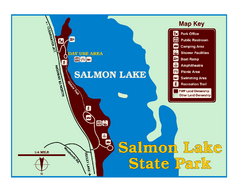
Salmon Lake State Park Map
Immediately adjacent to Montana 83, this park is an access point to one of the beautiful lakes in...
476 miles away
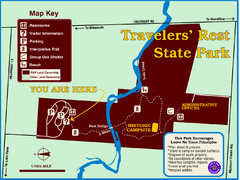
Travelers' Rest State Park Map
The Lewis and Clark expedition camped here twice during their historic journey to locate the...
477 miles away
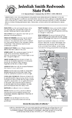
Jedediah Smith Redwoods State Park Campground Map
Map of campground region of park with detail of trails and recreation zones
477 miles away
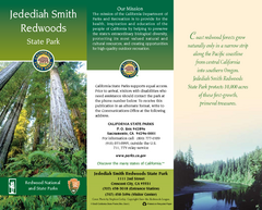
Jedediah Smith Redwoods State Park Map
Map of park with detail of trails and recreation zones
477 miles away
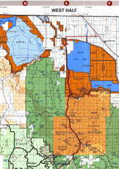
Modoc National Park Map
Visitor Map of Modoc National Park--Western Part. Includes the parameters of the Lava Beds...
479 miles away
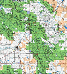
Clip10 Map
Visitor Maps of Modoc National Park, eastern part of the park includes all roads, camping areas...
481 miles away
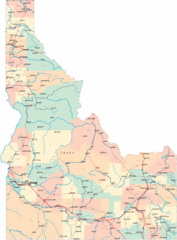
Idaho Road Map
482 miles away
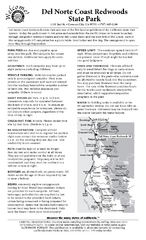
Del Norte Coast Redwoods State Park Campground Map
Map of park with detail of trails and recreation zones
483 miles away
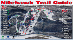
Nitehawk Ski Hill Ski Trail Map
Trail map from Nitehawk Ski Hill, which provides downhill skiing. This ski area has its own website.
484 miles away
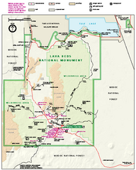
Lava Beds National Monument official park map
Official park map of Lava Beds National Monument. Shows trails, roads, cave entrances, and lava...
485 miles away
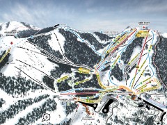
Bogus Basin Ski Trail Map - Front
Official ski trail map of frontside of Bogus Basin ski area from the 2007-2008 season.
485 miles away

