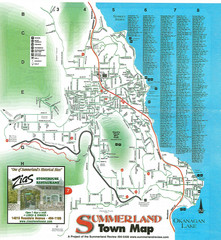
Summerland Town Map
Map of Summerland with details on outdoor-recreation locations and streets
181 miles away
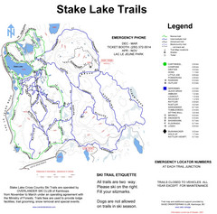
Stake Lake Nordic Ski Trail Map
Trail map from Stake Lake.
184 miles away
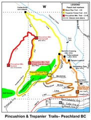
Peachland Walks Map
Guide to Pincushion and Trepanier Trails in Peachland, BC
184 miles away
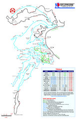
Telemark Cross Country Ski Trail Map
Trail map from Telemark Cross Country, which provides nordic skiing. This ski area has its own...
186 miles away
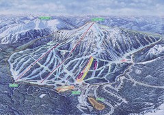
Apex Mountain Ski Resort Map
Apex Mountain Trail Map, Lifts and Elevations
186 miles away
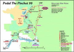
Pedal the Pinchot Bike Ride Route Map
Route Map for the Pedal the Pinchot 99 bike ride - annotated on a Park trail map.
187 miles away
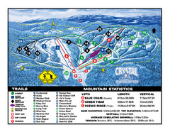
Crystal Mountain Resort Ski Trail Map
Trail map from Crystal Mountain Resort, which provides downhill skiing. This ski area has its own...
187 miles away
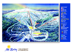
Mt. Baldy Family Ski Area Ski Trail Map
Trail map from Mt. Baldy Family Ski Area.
193 miles away

Yakima, Washington City Map
196 miles away
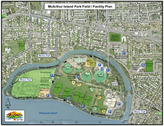
MacArthur Island Park Map
Park map of MacArthur Island Park in the Thompson River in Kamloops, BC. Shows Rivers Trail...
196 miles away
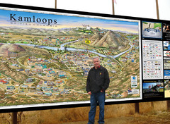
Kamloops tourist info map by Jean-Louis Rheault
Tourist map of Kamloops, British Columbia. Photo of 20 foot sign with the cartographer, Jean-Louis...
196 miles away
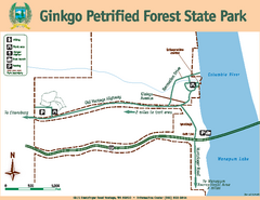
Ginkgo Petrified Forest State Park Map
Map of park with detail of trails and recreation zones
197 miles away

BANKS-VERNONIA STATE TRAIL Map
198 miles away
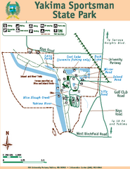
Yakima Sportsman State Park Map
Map of park with detail of trails and recreation zones
198 miles away
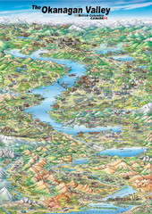
Pictorial map of the Okanagan Valley
199 miles away
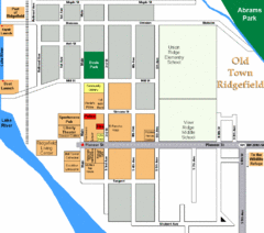
Guide Map of Old Town Ridgefield
Guide Map of Old Town Ridgefield, Washington
199 miles away
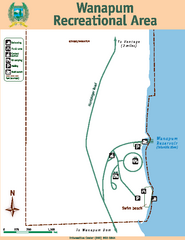
Wanapum Recreational Area Map
Map of park with detail of trails and recreation zones
199 miles away
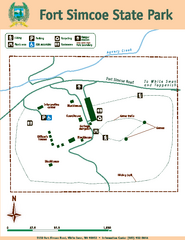
Fort Simcoe State Park Map
Map of park with detail of trails and recreation zones
199 miles away
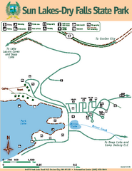
Sun Lakes-Dry Falls State Park Map
Map of park with detail of trails and recreation zones
200 miles away
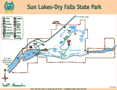
Sun Lakes-Dry Falls State Park Map
Map of park with detail of trails and recreation zones
200 miles away
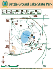
Battle Ground Lake State Park Map
Map of park with detail of trails and recreation zones
201 miles away
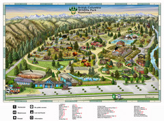
British Columbia Wildlife Park Visitor Map
Wildlife Visitor Park Map. Full color with illustrations.
203 miles away
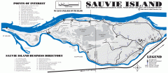
Sauvie Island tourist map
Tourist map of Sauvie Island in Oregon. Shows all businesses and points of interest.
204 miles away
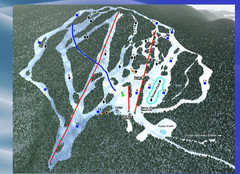
2004–09 Harper Mountain Map
Trail map from Harper Mountain, which provides downhill and nordic skiing. This ski area has its...
205 miles away

Kettle Valley Trails Map
Map of Kettle Valley Trails. Includes all trails, streets, and attractions.
206 miles away
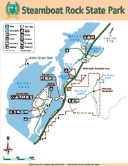
Steamboat Rock State Park Map
Map of park with detail of trails and recreation zones
206 miles away
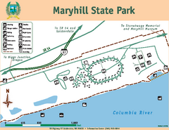
Maryhill State Park Map
Map of park with detail of trails and recreation zones
210 miles away
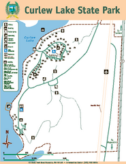
Curlew Lake State Park Map
Map of park with detail of trails and recreation zones
210 miles away
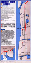
Rockaway Beach Map
211 miles away
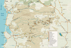
Tillamook State Forest Map
Recreation map of Tillamook State Forest. Over 60 miles of non-motorized trails and 150 miles of...
213 miles away
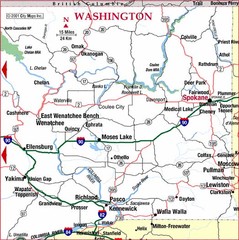
Eastern Washington Road Map
214 miles away
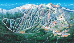
Big White Ski Trail Map
Official ski trail map of Big White ski area from the 2007-2008 season.
215 miles away
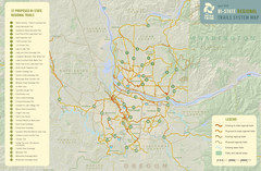
Bi-State Regional Trail System Plan Map
Shows plan for developing 37 Bi-State Regional Trails
215 miles away
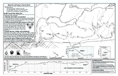
Forest Park Mountain Biking Map
Forest Park now includes over 5,100 wooded acres making it the largest, forested natural area...
215 miles away
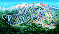
Big White Ski Resort Ski Trail Map
Trail map from Big White Ski Resort, which provides downhill, night, nordic, and terrain park...
215 miles away

Pacific Northwest Inside Passage Map
Amazing Pacific Northwest Inside Passage Legendary map.
217 miles away

Maywood Park Oregon Road Map
218 miles away
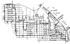
Pearl District Walking Map, Portland Oregon Map
Walk through the Pearl District, along the Willamette River and up to 23rd Street. Detour to the...
218 miles away
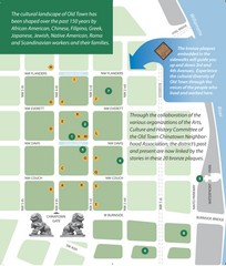
Old Town-China Town Map
Portland's oldest neighborhoods and history are easily seen in Old Town-China Town.
219 miles away
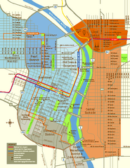
Central Portland, Oregon Map
Tourist map of Portland, Oregon. Shows museums, sports arenas, parks, and public transportation.
219 miles away

