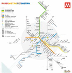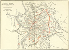
Ancient Rome Map
Shows places and buildings dating fromt he republic in red superimposed on modern day Rome
286 miles away
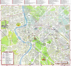
Rome (Roma) Map
Detailed Tourist Map of Rome, Italy
286 miles away
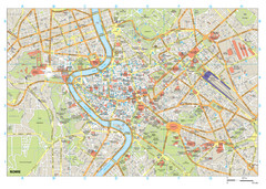
Rome Buildings Map
Map of Rome, Italy center. Shows major streets and buildings. Neighborhoods also shown.
286 miles away
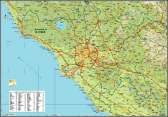
Rome Province Map
Road and physical map of the province of Rome, Italy. Shows towns represented by orange blocks...
286 miles away
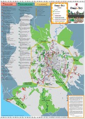
Rome Biking Map
Biking route map of the area around Rome, Italy. Shows biking routes in roads and in parks.
286 miles away
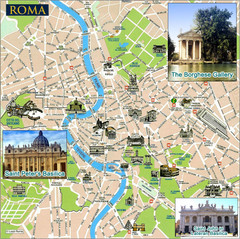
Rome Tourist Map
Tourist map of central Rome, Italy. Shows major landmarks represented by sketches. Also shows...
286 miles away
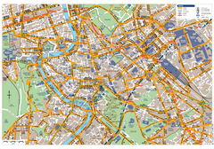
Rome Centro Transportation Map
Shows streets, major buildings, and metro stops of central Rome, Italy
286 miles away
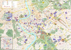
Roma Map
286 miles away

Rome City Tourist Map
286 miles away
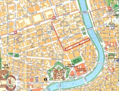
Rome City Tourist Map
286 miles away
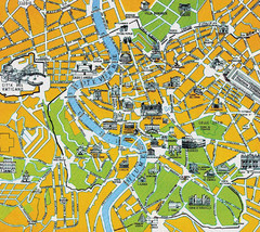
Rome City Tourist Map
286 miles away
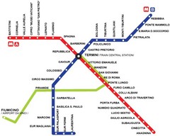
Rome Metro Map
286 miles away
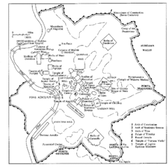
Rome Italy Ruins Map
Tourist Map showing the ruins and tourist sites for Rome, Italy.
286 miles away
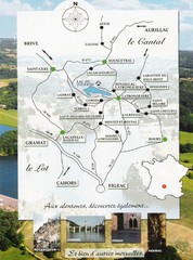
Southern France Tourist Map
Hand drawn map of an area of southern France with pictures and cities shown.
286 miles away
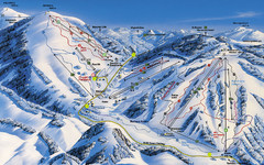
Feldberg Ski Trail Map
Trail map from Feldberg.
287 miles away
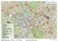
Rome Downtown Printable Map
This is the perfect printable map of Rome. Easy to use and very detailed, it includes: - all...
287 miles away
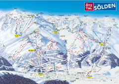
Otztal Ski Trail Map
Trail map from Otztal.
287 miles away
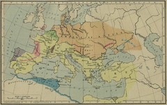
Roman Empire Map
287 miles away
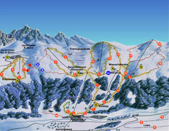
Ratschings / Racines Ski Trail Map
Trail map from Ratschings / Racines.
287 miles away
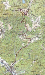
Grand Ballon Race Course Map
Topo course map of the 13.2 km running race to the summit of Grand Ballon
287 miles away
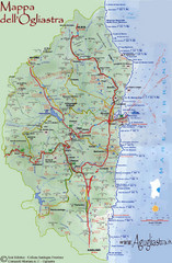
Ogliastra Tourist Map
Tourist map of Ogliastra region of island of Sardinia, Italy
287 miles away
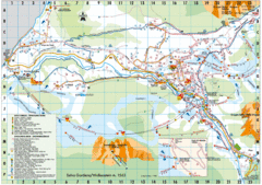
Selva Gardena Tourist Map
Tourist map of Selva Gardena, Italy, a popular skiing and hiking destination in the Italian Alps.
287 miles away
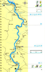
Lot River Canoe Route Map
288 miles away
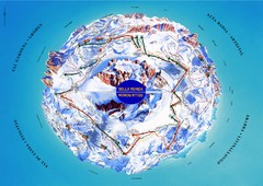
Sella Ronda Ski Tour Map
Shows ski mountaineering tour of Sella Ronda, a circular ski route leading around the mighty Sella...
288 miles away
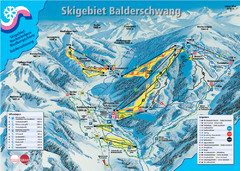
Balderschwang Balderschwang Ski Trail Map
Trail map from Balderschwang.
288 miles away
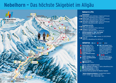
Oberstdorf Ski Trail Map
Trail map from Oberstdorf.
289 miles away
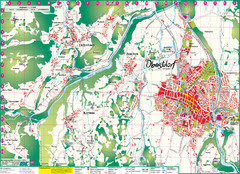
Oberstdorf City Map
City map of Oberstdorf, Germany and surrounding area. Shows buildings and ski lifts. In German.
289 miles away
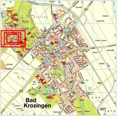
Bad Krozingen Map
Street map of Bad Krozingen
289 miles away
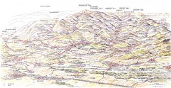
Guebviller valley panorama Map
289 miles away
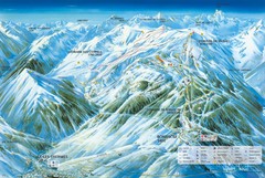
Ax 3 Domaines Ski Trail Map
Trail map from Ax 3 Domaines.
290 miles away
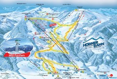
Bolsterlang Ski Trail Map
Trail map from Bolsterlang.
291 miles away

Solar Radiation Map of Italy
Solar Radiation Map Based on high resolution Solar Radiation Database: SolarGIS. On the Solar Map...
291 miles away
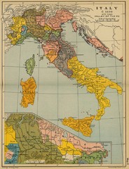
1490 Italy Historical Map
291 miles away
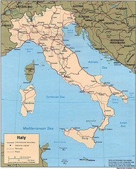
Italy Road Map
Main Highways map of Italy with cities and railroads identified.
291 miles away
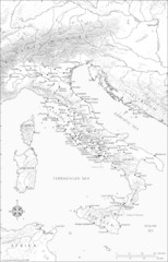
Roman Italy Map
This map depicts many of the principal sites and features of Roman Italy. It contains elevation...
291 miles away
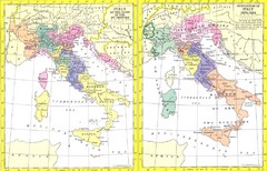
Italy Historic Political Map 15th Century and...
Side-by-side political maps showing Italy at the close of the 15th century and the unification of...
291 miles away
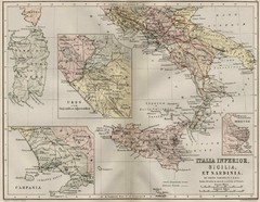
Italy and Sicily Ancient Map
Map of ancient Italy, Sicily, and Sardinia. Year unknown.
291 miles away
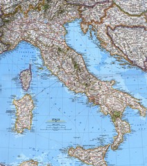
Italy Political Map
Political map of Italy. Scanned.
291 miles away

