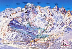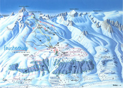
Lötschental (Wiler) Ski Trail Map
Trail map from Lötschental (Wiler), which provides downhill skiing.
94 miles away
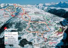
Reinswald Ski Trail Map
Trail map from Reinswald, which provides downhill skiing. It has 4 lifts. This ski area has its own...
95 miles away

Weil am Rhein Tourist Map
Tourist street map of Weil am Rhein
95 miles away
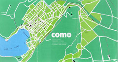
Como City Map
City map and historical sites of Como, Italy.
96 miles away
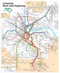
Basel Light Rail and Bus Map
96 miles away
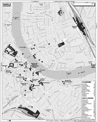
Basel Tourist Map
Tourist map of Basel, Switzerland. Shows museums, accommodations, eating, and drinking spots
96 miles away
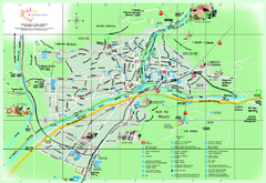
Bolzano Map
97 miles away
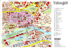
Tübingen Tourist Map
Tourist map of Old Town center of Tübingen
97 miles away
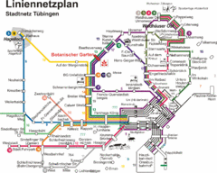
Tubingen Bus Map
Bus routes and connections, Tubingen, Germany. (German).
97 miles away
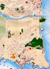
Verbania Pallatzo City Map
City map of Verbania-Pallanza, Italy on Lago Maggiore
97 miles away
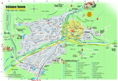
Bolzano Tourist Map
Tourist map of Bolzano, Italy.
97 miles away
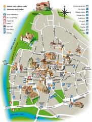
Bolzano tourist map
97 miles away
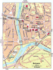
Bolzano centro Map
97 miles away
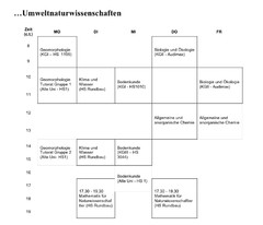
Test Map
98 miles away
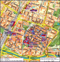
Frieburg Tourist Map
98 miles away
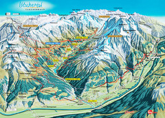
Lötschental Lauchernalp Summer Trail Map
Summer trail map of Lötschental Valley area. Shows hiking trails, towns, and mountains. The...
98 miles away

Wuerttembergische Landeskirche Map
Karte der Evang. Landeskirche in Wuerttemberg, The Evangelical-Lutheran Church in Wuerttemberg
99 miles away
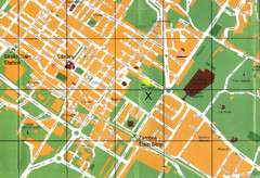
Sesto Map
100 miles away
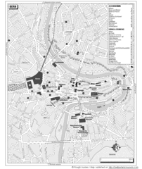
Bern Tourist Map
Tourist map of Bern, Switzerland. Shows museums, accommodations, eating, and drinking spots
100 miles away
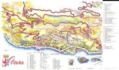
Stresa Map
100 miles away
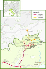
Northern Italy Bustransfer Map
101 miles away
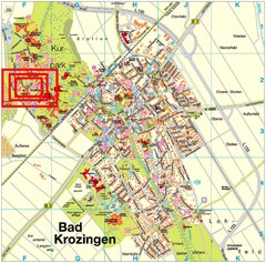
Bad Krozingen Map
Street map of Bad Krozingen
101 miles away
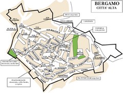
Bergamo Upper Town Map
101 miles away

Bergamo Map
102 miles away
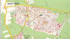
Geretsried Map
Street map of Geretsried
103 miles away
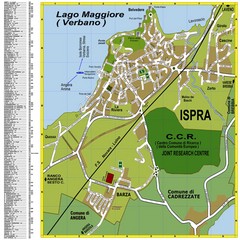
Ispra Town Map
Town map of Ispra, Italy on east side of Lake Maggiore (Lombardy region, Northern Italy). With...
103 miles away

Lauterbad, Germany Map
104 miles away
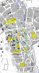
Augsburg Tourist Map
Tourist street map of downtown Augsburg
104 miles away
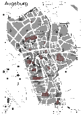
Augsburg Tourist Map
Shows central Augsburg and its sights.
105 miles away
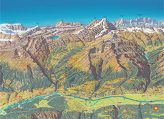
Leukerbad Summer Trail Map
Summer hiking trail map from Leukerbad.
105 miles away
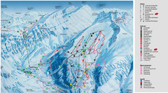
Leukerbad Ski Trail Map
Trail map from Leukerbad.
105 miles away
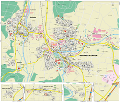
Herbrechtingen Map
Street map of city of Herbrechtingen
106 miles away
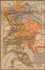
Germany Italy 1803 Map
Germany and Italy in 1803 after the Principle Decree of the Imperial Deputation
106 miles away
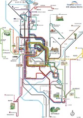
Trento Bus Route Map (Italian)
106 miles away
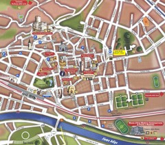
Trento Tourist Map
Tourist map of central Trento, Italy. Shows major buildings.
106 miles away
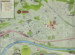
Trento Map
106 miles away
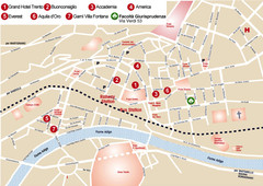
Trento center Map
107 miles away
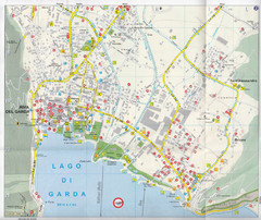
Riva del Garda Map
108 miles away
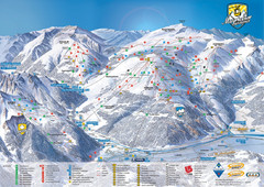
Mayrhofen Ski Trail Map
Ski trail map of Mayrhofen ski area in Austria.
108 miles away

