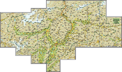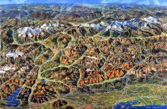
Eastern Alps Italy and Austria Overview Map
Panoramic map of the mountains and towns of northern Italy, the Tyrol, and southern Austria
79 miles away
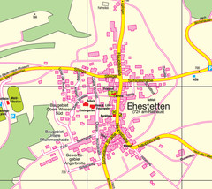
Ehestetten Map
Street map of Ehestetten
81 miles away
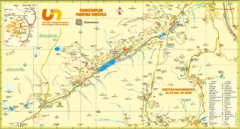
Ultental Deutschnonsberg St. Walburg Tourist Map
Tourist map of the southern Tyrol region around Ultental, Deutschnonsberg, and St. Walburg/ S...
81 miles away
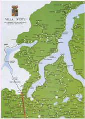
Lake Como Map
Map of lake with detail of surrounding towns
81 miles away
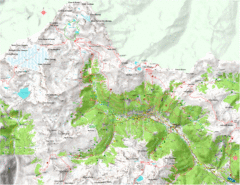
Val di Rabbi Topo Map
Detailed topographic map of Val di Rabbi, Italy on the edge of Stelvio National Park
82 miles away
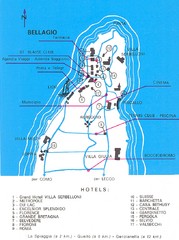
Bellagio Map
82 miles away
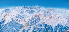
Axamer Lizum Ski Trail Map
Trail map from Axamer Lizum.
83 miles away
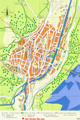
Mittenwald Tourist Map
Tourist street map
83 miles away
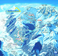
Fulpmes Ski Trail Map
Trail map of Fulpmes ski area in the Stubai Alps near Fulpmes, Austria. Schlick 2000
83 miles away
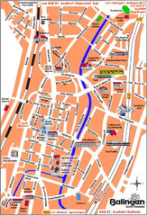
Balingen Tourist Map
Tourist street map of Balingen center
84 miles away
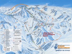
Stubaital Ski Trail Map
Trail map from Stubaital.
84 miles away
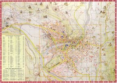
Merano Map
84 miles away
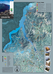
Lake Como Mountain Biking Trail Map
Trail map of mountain biking routes around Lake Como, Italy.
84 miles away
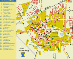
Landsberg Tourist Map
tourist map of town of Landsberg
84 miles away
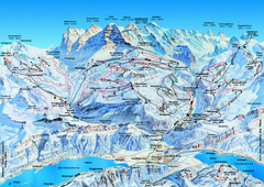
Jungfrauregion (Mürren, Wengen, Grindelwald) Ski...
Trail map from Jungfrauregion (Mürren, Wengen, Grindelwald), which provides downhill skiing.
85 miles away
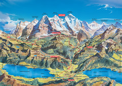
Jungfrau Grindelwald region summer map
This map is a summer panorama looking south from Interlaken toward the Jungfrau, Eiger, and the...
85 miles away
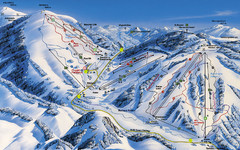
Feldberg Ski Trail Map
Trail map from Feldberg.
85 miles away
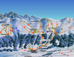
Ratschings / Racines Ski Trail Map
Trail map from Ratschings / Racines.
86 miles away
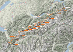
Swiss Alps Trail Map
Around Interlaken, Switzerland.
86 miles away
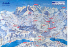
Jungfrau Map
86 miles away
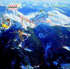
Meran Ski Trail Map
Trail map from Meran 2000, which provides downhill skiing. This ski area has its own website.
87 miles away
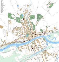
Landsberg Map
Street map of city of Landsberg
87 miles away
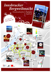
Innsbruck Christmas Markets Map
Christmas market map of Innsbruck, Austria.
87 miles away
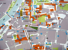
Innsbruck Tourist Map
Tourist map of inner Innsbruck, Austria. Photo of outdoor map.
87 miles away
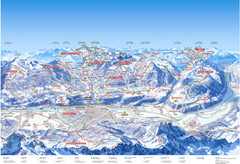
Innsbruck Region Ski Map
Shows ski regions around Innsbruck, Austria
88 miles away
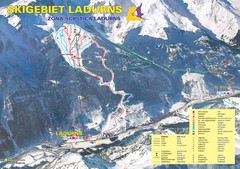
Ladurns Ski Trail Map
Trail map from Ladurns, which provides downhill skiing. This ski area has its own website.
88 miles away
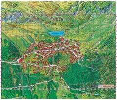
Bettmeralp Summer Map
Summer tourist map of town of Bettmeralp, Switzerland. With reference grid.
88 miles away
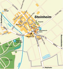
Ulm Steinheim Map
Street map of town of Ulm Steinheim
90 miles away
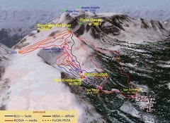
Alpe Ciamporino Ski Trail Map
Trail map from Alpe Ciamporino, which provides downhill skiing. It has 6 lifts. This ski area has...
90 miles away
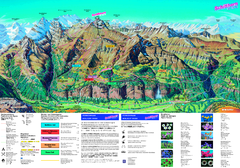
Schilthorn Summer Trail Map
Summer hiking map of Mürren-Schilthorn area. Shows lifts and trails.
90 miles away
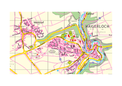
Haigerloch & Weildorf Map
Map of Haigerloch / Weildorf area
91 miles away
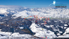
Rosskopf (Vipiteno) Ski Trail Map
Trail map from Rosskopf (Vipiteno), which provides downhill skiing. It has 4 lifts. This ski area...
91 miles away
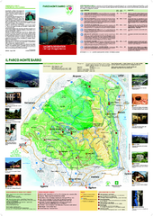
Monte Barro Map
91 miles away
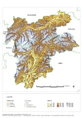
South Tyrol Elevation Map
Physical relief map of the South Tyrol region in present-day borders of Italy and Austria.
93 miles away
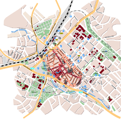
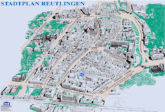
Reutlingen Tourist Map
Tourist street map of Reutlingen
93 miles away

