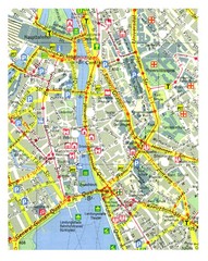
Zurich, Switzerland Tourist Map
49 miles away
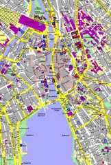
Zurich, Switzerland Tourist Map
49 miles away
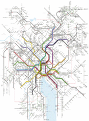
Zurich Transit Map
Map of transit routes throughout Zurich
49 miles away
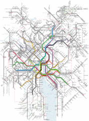
Zurich Tram Map
Map of tram system for Zurich and surrounding areas
49 miles away
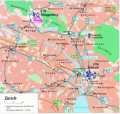
Zurich City Map
City map of Zurich with university highlighted
49 miles away
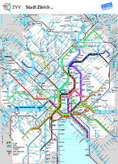
Zurich Metro Map
Official metro map from ZVV. Shows lines in central Zurich, Switzerland.
50 miles away
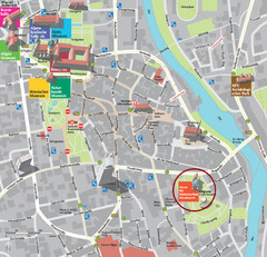
Kempten im Allgäu Tourist Map
Tourist street map of Kempten im Allgäu
53 miles away
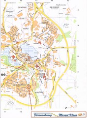
Bad Waldsee Map
Street map of Bad Waldsee
54 miles away
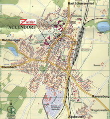
Aulendorf Map
Street map of city of Aulendorf
55 miles away
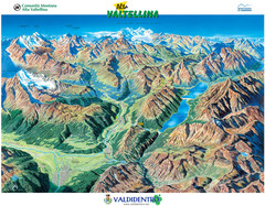
Valdidentro Alta Valtellina Summer Map
Panorama tourist map of the region of Valdidentro Alta Valtellina from Bormio, Italy to Livigno...
58 miles away
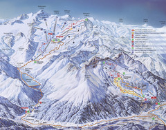
Kaunertal Ski Trail Map
Trail map from Kaunertal.
58 miles away
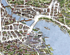
Lucerne Tourist Map
Tourist map of central Lucerne, Switzerland. 3D view showing buildings.
59 miles away
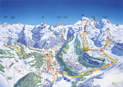
Engelberg Titlis Ski Trail Map
Trail map from Engelberg Titlis.
59 miles away
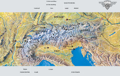
Alps Top Resort Town Map
Shows 12 top 4 season mountain resort towns in the Alps in France, Switzerland, Austria, and Italy.
59 miles away
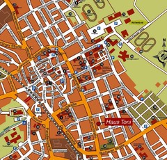
Bad Saulgau Tourist Map
Tourist street map of Bad Saulgau town center
59 miles away

Andermatt (Hospental) Ski Trail Map
Trail map from Andermatt (Hospental).
59 miles away
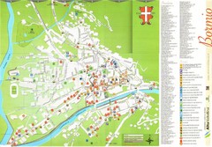
Bormio Tourist Map
Tourist map of town of Bormio, Italy. Legend of all streets and services.
62 miles away

Sulden Trafoi Summer Hiking Map
Summer hiking route map of Sulden (Solda) Italy, Trafoi, Italy and Stelvio, Italy. Shows hiking...
63 miles away
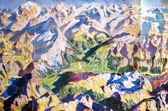
Bormio Panorama Map
Panorama tourist map of Bormio, Italy. Shows Ortler Alps in distance. From photo.
64 miles away
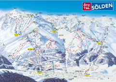
Otztal Ski Trail Map
Trail map from Otztal.
65 miles away

Sulden Ski Trail Map
Ski trail map of Sulden (Solda), Italy in the Ortler Alps. Shows trails and lifts.
66 miles away
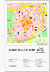
Biberach an der Riß Tourist Map
Tourist map of Biberach an der Riß town center
66 miles away
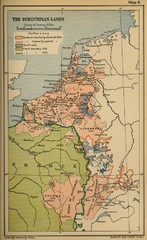
The Burgundian Lands Historical Map
66 miles away
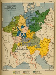
1912 Empire Historical Map
66 miles away
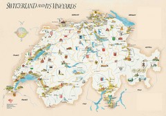
Switzerland Vineyards Map
Shows vineyards of Switzerland.
66 miles away

Switzerland Map
67 miles away
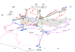
Alpenregion Meiringen-Hasliberg Ski Trail Map
Trail map from Alpenregion Meiringen-Hasliberg.
70 miles away
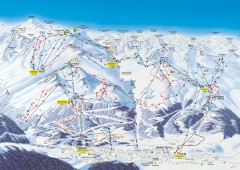
Solden Ski Trail Map
Ski trail map of the Solden ski area in the Tyrol region of Austria.
70 miles away
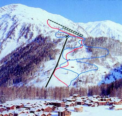
Hungerberg Ski Trail Map
Trail map from Hungerberg, which provides downhill skiing. It has 3 lifts. This ski area has its...
71 miles away
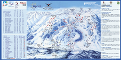
Aprica Ski Trail Map
Trail map from Aprica, which provides downhill skiing. This ski area has its own website.
75 miles away
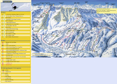
Sörenberg Ski Trail Map
Trail map from Sörenberg.
76 miles away
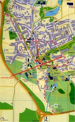
Bad Durrheim Map
Street map of Bad Durrheim
76 miles away
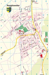
Regglisweiler Map
Map of town of Regglisweiler
76 miles away
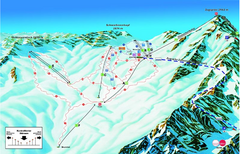
Garmisch Partenkirchen Ski Trail Map
Trail map from Garmisch Partenkirchen.
77 miles away
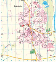
Dietenheim Map
Street map of Dietenheim
77 miles away
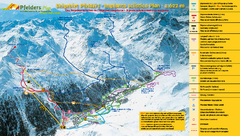
Pfelders Ski Trail Map
Trail map from Pfelders, which provides downhill and nordic skiing. This ski area has its own...
77 miles away
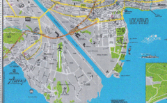
Ascona City Tourist Map
Landmarks in Ascona, Switzerland
78 miles away
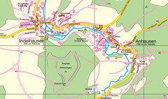
Indelhausen / Anhausen Map
Map of towns of Indelhausen & Anhausen
78 miles away

