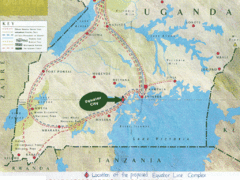
Uganda Tourist Map
Map of Uganda shows Trails and the proposed location of Equator City.
1704 miles away
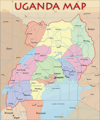
Uganda Political Map
Political map of Uganda. Shows regions, cities, and water features.
1704 miles away
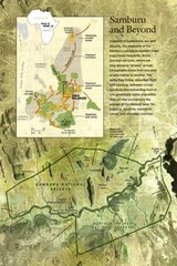
Samburu Elaphant population Map
1729 miles away
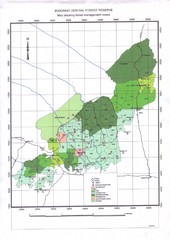
Budongo Forest Map
Budongo Forest Map Shows color-coded forest management zones.
1743 miles away
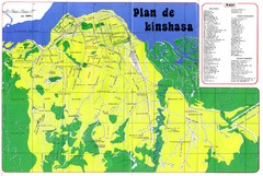
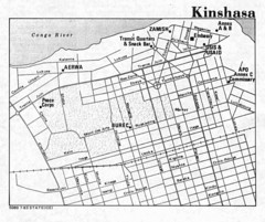
Kinshasa Overview Map
Overview map of Kinshasa, Democratic Republic of Congo shows major streets.
1744 miles away
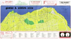
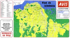
Kinshasa Gombe and Centreville Tourist Map
Tourist map of Gombe and Centreville in Kinshasa. Shows streets and points of interest. In French...
1746 miles away
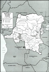
Republic of the Congo 1964 Military Map
Map of the military situation with a hostage crisis in 17 July 1964. Map shows rebel forces and...
1753 miles away
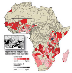
African distrust and the slave trade Map
1824 miles away
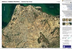
Cabinda City Map
Topo city map of central Cabinda, Angola. Shows points of interest.
1829 miles away
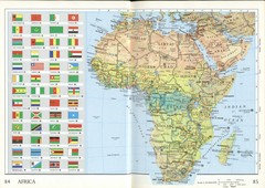
Africa Flag Map
Physical map of Africa with flag legend for all countries. Scanned.
1932 miles away
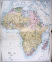
Africa Map 1885
Shows Africa with pre-colonial boundaries demarcated at the Berlin Conference of 1885.
1932 miles away
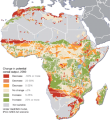
Projected climate change impacts for agriculture...
Africa is one of the regions that will be hit the hardest by climate change, and it will likely...
1946 miles away
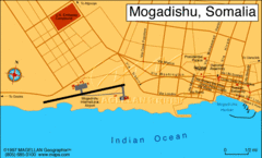
Mogadishu, Somalia Tourist Map
1950 miles away
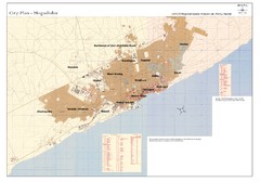
Mogadishu, Somalia Tourist Map
1950 miles away
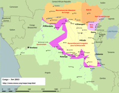
Congo Map
Cities, capitols, borders and more are clearly marked on this map.
1950 miles away
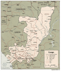
Congo 1986 Guide Map
1950 miles away
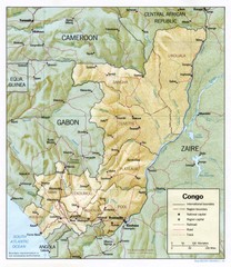
Congo Physical Relief Map
Physical relief map of the Republic of the Congo. Shows major roads and cities.
1950 miles away
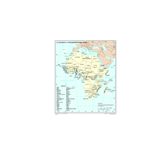
Economic Commission for Africa Map
Map of Economic Commission for Africa with detail of member-countries
1952 miles away
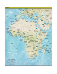
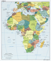
Africa CIA world factbook Map
1962 miles away
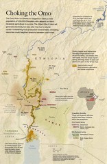
Omo River Ethiopia Map
Choking of the Omo River from National Geographic Magazine
1988 miles away

Rodrigues Island with Cap Soleil Agency Map
1996 miles away
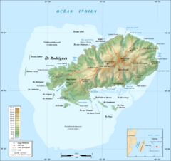
Rodrigues Island Topo Map
Island topographic map of Rodrigues Island. In French.
1997 miles away

Mahe Island Map
1997 miles away

Seychelles Map
1998 miles away
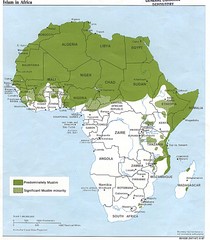
Islam in Africa Map
Map of Islamic population densities throughout Africa
1999 miles away
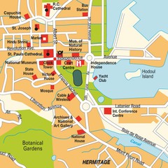
Port Victoria city Map
1999 miles away
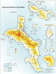
Seychelles Electoral Map
Shows electoral districts of the Seychelles Islands in the middle of the Indian Ocean.
2006 miles away
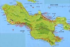
Grand Anse tourist Map
2026 miles away
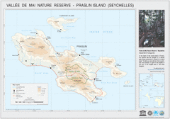
Vallee de Mai nature Reserve Map
2027 miles away
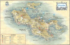
Praslin Island Map
Guide to the second largest island of the Seychelles
2028 miles away
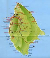
La Digue tourist Map
2031 miles away
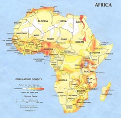
Africa Population Map
Map of population densities throughout Africa
2047 miles away
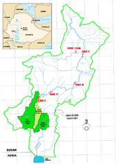
Omo River Drainage area Map
2061 miles away
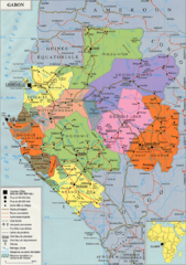
Gabon Regional Map
Guide to the regions of Gabon
2070 miles away
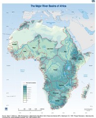
Africa River Basin Map
Guide to the major river basins of Africa
2080 miles away
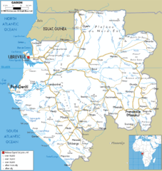
Gabon road Map
2091 miles away

