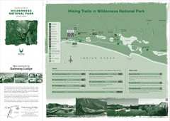
Wilderness National Park Map
956 miles away

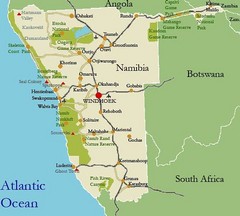
Southern Namibia Map
963 miles away
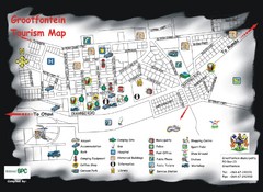
Grootfontein Tourist Map
Tourist map of Grootfontein, Namibia. Shows points of interest.
965 miles away
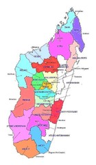
Madagascar regions Map
966 miles away
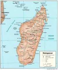
Madagascar Roads and Trains Map
Cities, roads and train lines.
974 miles away
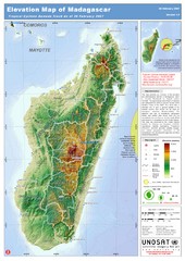
Madagascar Elevation Map
Shows color-coded elevation of island of Madagascar. Shows tropical cyclone Gamede track as of Feb...
974 miles away

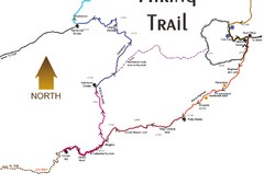
Fish River Canyon Hiking Trail Map
Hiking Trail Map for Fish River Canyon in Nambia, Africa. Includes distances, points of interests...
986 miles away
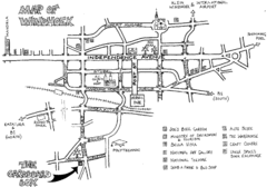
Windhoek Backpacker Map
Sketch map of capital city of Windhoek, Namibia for backpackers. Windhoek is situated in almost...
987 miles away
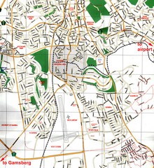
Windhoek Tourist Map
Map of Windhoek, Namibia
987 miles away
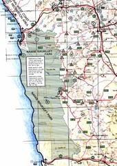
Western Central Namibia Map
1003 miles away
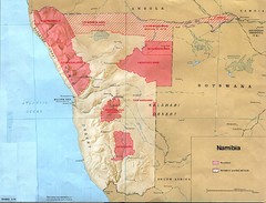
Namibia Homelands Map
Map of Namibia homelands as of 1978
1009 miles away
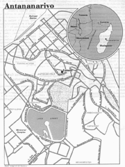
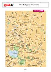
Antananarivo, Madagascar Tourist Map
1011 miles away
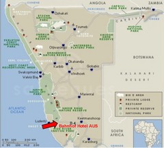
Namibia Hotel Map
1011 miles away
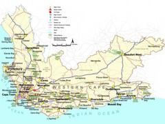
Western Cape Tourist Map
Map of Western Cape, South Africa showing cities, major roads, parks, airports and border controls.
1013 miles away
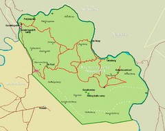
Richtersveld Transfrontier National Park Map
Park map of Richtersveld Transfrontier National Park, South Africa
1022 miles away
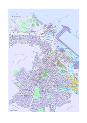
Cape Town Things to see and do Map
Lots of details and info on our beautiful city. What to see, do and where to eat. Lot's of...
1043 miles away
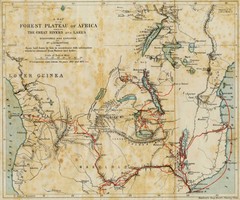
Forest Plateau of Africa Map
A historical Map of the Forest Plateau of Africa. Includes rivers, lakes, cities, and the route of...
1045 miles away
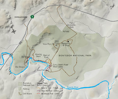
Bontebok National Park Map
1046 miles away
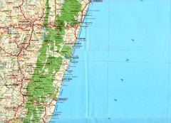
Antananarivo region Map
1051 miles away
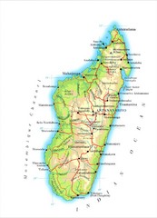
Madagascar Map
Guide to the African country of Madagascar
1059 miles away
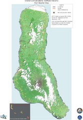
Grand Comore Island Volcanic Eruption Map
Karthala volcanic eruption post disaster map on Grand Comore Island, 8/12/2005
1069 miles away

Grand Comore Island Topography Map
1074 miles away

Comoros Islands Map
1078 miles away
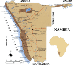
Namibia Map
1081 miles away
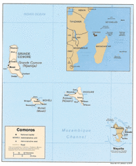
Mayotte Regional Map
Guide to the area around Mayotte
1084 miles away
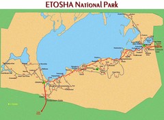
Etosha National Park Map
1090 miles away
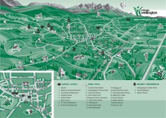
Wellington Tourist Map
Shows major streets and points of interest for eating, wine, and brandy.
1092 miles away
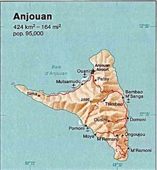
Anjouan Island topography Map
1092 miles away
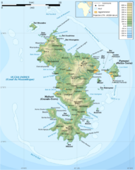
Mayotte Topographic Map
Guide to the island nation of Mayotte
1096 miles away
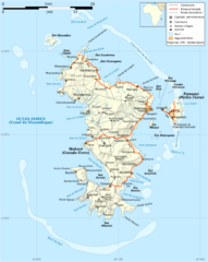
Mayotte Map
Guide to the country of Mayotte, an overseas collectivity of France
1097 miles away

Mayotte tourism Map
1099 miles away
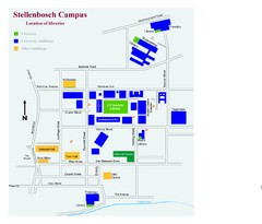
Stellenbosch Campus Map
Map of Stellenbosch University campus
1110 miles away
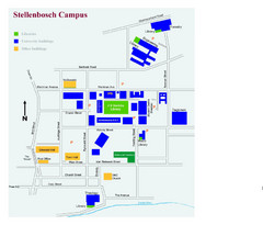
Stellenbosch Campus Map
Visitor's map of Stellenbosch Campus including all buildings and roads color-coded.
1110 miles away
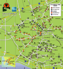
Stellenbosch Wine Route Map
Map of Stellenbosch showing routes to take to tour the wineries. 5 wine routes identified.
1110 miles away
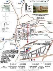
Stellenbosch University and Town Map
Map of Stellenbosch University campus as well as surrounding town
1111 miles away
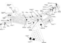
Paternoster Tourist Map
In South Africa
1111 miles away
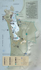
West Coast National Park Map
1113 miles away

