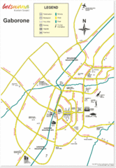
Gaborone City Map
Map and legend marking sites in this most populated city of Botswana.
432 miles away
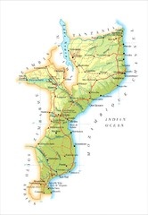
Mozambique Map
433 miles away
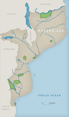
Mozambique National Parks Map
440 miles away
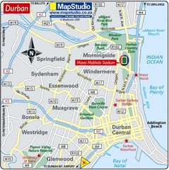
Moses Mabhida Stadium, Durban, South Africa Map
Location Map of Moses Mabhida Stadium in Durban, Kwa-Zulu Natal, South Africa. Venue for 2010...
465 miles away
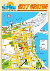
Durban City Center Map
Tourist map of central Durban, South Africa
466 miles away
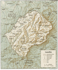
Lesotho Map
Guide to the African country of Lesotho
497 miles away
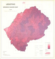
Lesotho Erosion Hazard Map
Guide to erosion in Lesotho
504 miles away
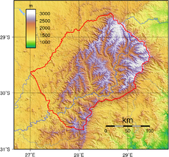
Lesotho topo Map
504 miles away
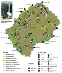
Lesotho tourism routes Map
507 miles away
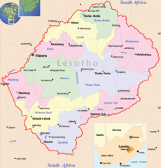
Lesotho Map
Cities, roads, provinces and borders are labeled on this map.
515 miles away
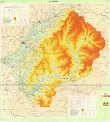
Lesotho Physical Map
Physical map of Lesotho. Shaded by elevation.
515 miles away
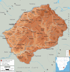
Lesotho physical Map
515 miles away
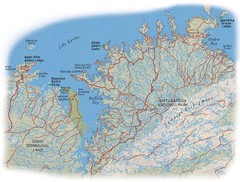
Matusadona National Park Map
516 miles away
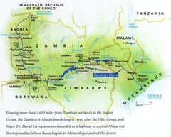
Zambezi River Map
516 miles away
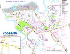
Maseru City Map
Map and legend of this Lesotho Capitol.
524 miles away
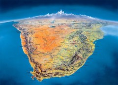
Southern Africa Panorama Map
Panoramic view of southern Africa. Shows South Africa, Namibia, Botswana, Angola, Zambia, Zimbabwe...
526 miles away
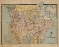
Map Color Pink: Portuguese States of Africa
"Map Color Pink" was the name given to the Portuguese project to link Angola to...
534 miles away

Trans Kalahari Highway Map
Map of Trans Kalahari Highway through Botswana showing distances, fuel stations and accomodations.
555 miles away
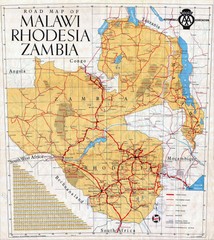
Malawi, Rhodesia and Zambia Road Map
Road map to the southern countries of Africa
560 miles away
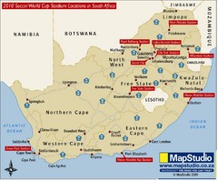
2010 Soccer World Cup Stadiums Location in South...
Host cities location with main road routes.
565 miles away
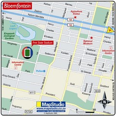
Free State Stadium, Bloemfontein, South Africa Map
Location Map of Free State Stadium, Bloemfontein, Free State Province, South Africa. Venue for 2010...
565 miles away
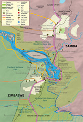
Victoria Falls and vicinity Map
568 miles away
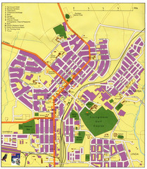
Livingstone Zambia Tourist Map
Livingstone city, ZambiaTourist Map.
576 miles away

Zambezi River Basin Map
579 miles away

Tiffindell Ski Trail Map
Trail map from Tiffindell.
586 miles away
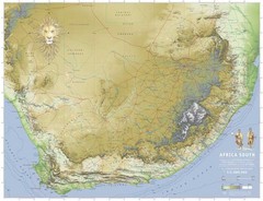
Africa South Map
A relief map of South Africa et ses environs
612 miles away
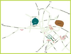
Kimberley Tourist Map
Simplified tourist map of Kimberley, South Africa. Shows major landmarks.
616 miles away
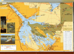
Moremi Game Reserve at Okavango Delta Map
642 miles away
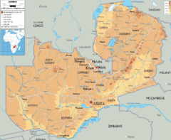
Zambia physical Map
648 miles away
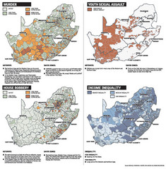
South Africa Crime Map
Maps displaying murder rates, youth sexual assualt, house robbery, and income inequality in South...
659 miles away

Okavango Delta Map
661 miles away
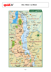
Lake Malawi Map
Map of Lake Malawi and surrounding region
681 miles away

Caprivi Strip Namibia Map
699 miles away
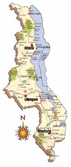
Malawi Map
701 miles away

Kafue National park south Map
703 miles away

Mfuwe Area South Luangwe National Park Map
704 miles away
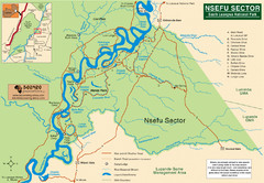
Nsfeu Sector South Luangwa National Park Map
714 miles away
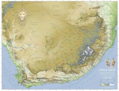
Africa South Full Map
A new relief map of Africa South showing some roads and towns and with boundaries natural replacing...
717 miles away

