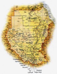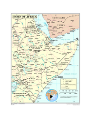
Ehtiopia Political Map
2306 miles away
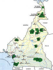
Cameroon parks Map
2352 miles away
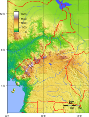
Cameroon topographical Map
2361 miles away
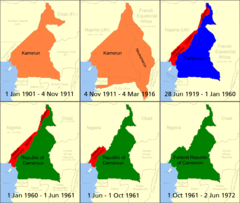
Cameroon boundary changes Map
2378 miles away
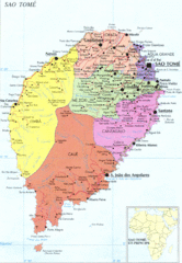
Sao Tome Political Map
Political map of island of São Tomé, lying on the equator off the west coast of...
2382 miles away
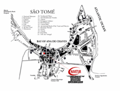
Sao Tome City Map
City map of Sao Tome with tourist information
2383 miles away
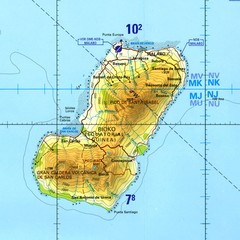
Bioko-Fernando Po island Map
2451 miles away

Lake Tana Map
2458 miles away
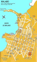
Malabo city Map
2463 miles away
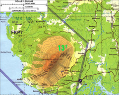
Mt Cameroon Topo Map
Topographic map of Mt. Cameroon, 13,255 feet.
2471 miles away
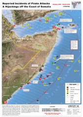
Pirate Attacks off Coast of Somalia Map
Shows reported incidents of pirate attacks and hijackings off the coast of Somalia from January...
2479 miles away
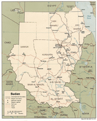
Sudan Map
Railroads, tracks, cities and borders are are marked on this clear map and legend.
2500 miles away
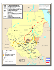
Sudan Oil and Gas Map
Map of Sudan's oil and gas concession holders
2504 miles away
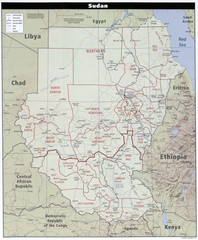
Sudan Map
Clear map of this amazing African nation.
2504 miles away
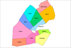
Djibouti District Map
Guide to the districts of Djibouti
2509 miles away
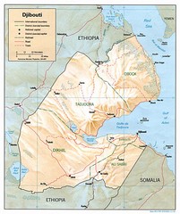
Djibouti, Africa Region Map
2515 miles away
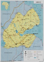
Djibouti, Africa Map
2515 miles away
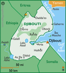
Djibouti, Africa Map
2515 miles away
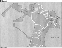
Djibouti, Africa City Map
2515 miles away
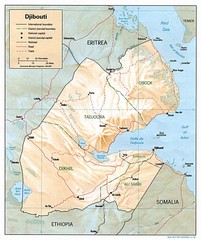
Djibouti Map
Guide to the African country of Djibouti
2516 miles away
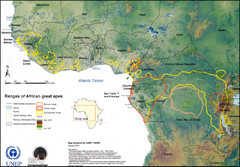
African Great Apes Habitat Range Map
Shows habitat ranges of chimpanzees, bonobos, and gorillas
2517 miles away
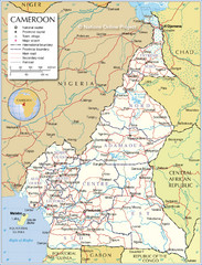
Cameroon Map
Large and detailed map and legend.
2521 miles away

St Helena Map
2536 miles away
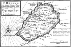
St. Helena 1732 Map
2537 miles away

St. Helena Topography Map
2538 miles away
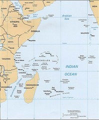
Indian Ocean Islands Map
Guide to the islands and atolls of the Indian Ocean
2549 miles away

Sudan Darfur Province Map
Map of Sudan's Darfur province including high level of details for villages. Source(s...
2601 miles away
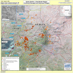
Villages Destroyed in Darfur, Sudan Map
Guide to villages destroyed as of August 2, 2004 in the Darfur region of Sudan
2616 miles away
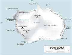
Bouvet Island Map
Map of Bouvet Island in the Southern Atlantic Ocean. Shows peaks and meteorological station.
2629 miles away

Kerguelen Island detail Map
2668 miles away

Kerguelen Island topo Map
2676 miles away

Kerguelen Island soil Map
2677 miles away
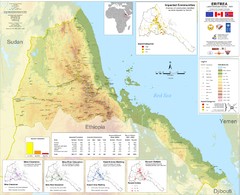
Eritrea Physical Map
2680 miles away
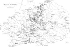
St Helena Historical Map
Map of St Helena by Fowler
2688 miles away
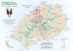
St. Helena Tourist Map
Tourist map of the remote island of St. Helena. Shows details of key locations, routes and...
2688 miles away
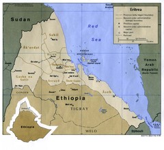
Eritrea Map
2690 miles away
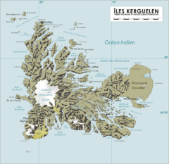
French Southern Territories Map
Physical map of French Southern and Antarctic Lands.
2693 miles away

