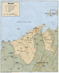
Brunei Map
0 miles away
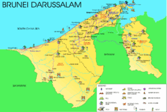
Brunei Darussalam Tourist Map
Tourist map of Brunei Darussalam. Shows points of interest
2 miles away
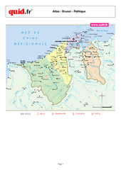
Brunei Regional Map
Map of country with detail of regional divides
10 miles away

Bandar Seri Begawan city Map
26 miles away
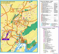
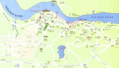
Bandar Seri Begawan Tourist Map
Tourist map of Bandar Seri Begawan, Brunei and environs. Shows foreign missions, hotels, shopping...
26 miles away
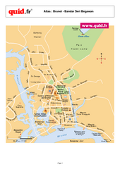
Bandar Seri Begawan Map
City map of capital
27 miles away
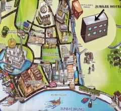
Sungai tourist Map
34 miles away
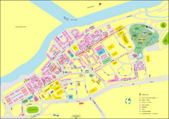
Miri City Map
City map of old town Miri. Shows places of interest.
51 miles away

Labuan Town Tourist map
Tourist Map for the town of Labuan, Malaysia showing airports, bus stops and tourist information.
59 miles away
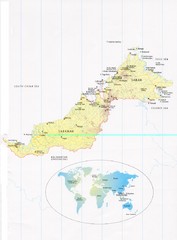
Sarawak and Sabah Map
Overview map of Sarawak and Sabah, Malaysia. Also shows Brunei Darussalam. Inset shows location...
111 miles away
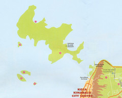
Tunku Abdul Rahman Marine Park Map
Map of the 5 islands of Tunku Abdul Rahman Marine Park in Kota Kinabalu
132 miles away
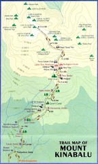
Mt Kinabalu Trail map
Trail map of route to summit of Mt. Kinabalu, the highest mountain in Malaysia at 4,101m. Please...
163 miles away
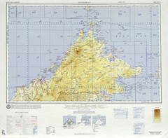
Sandakan Topo Map
Topo map of region of Sabah, Malaysia
169 miles away
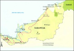
Sarawak Malaysia Map
185 miles away
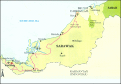
Sarawak Map
Map of Sarawak, a state on the island of Borneo.
204 miles away
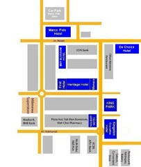
Tawau Hotel Map
224 miles away
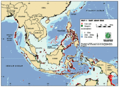
East Asian Sea Map
Map of the seas and oceans in East Asia. Includes color coded depths of the water and locations of...
239 miles away
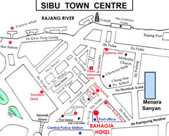
Sibu Tourist Map
254 miles away
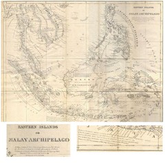
Eastern Islands Map
Antique map of the Eastern Islands or Malay Archipelago. Includes all islands, towns and detailed...
272 miles away
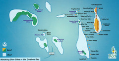
Mataking Island Diving Map
Mataking is a private island next to Sipadan, north of Mabul.
286 miles away
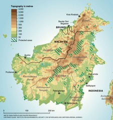
Borneo Protected Areas Map
Physical map of island of Borneo, Indonesia showing protected areas. Shows topography in meters.
318 miles away
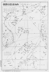
South China Sea Islands Map
351 miles away
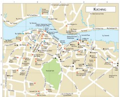
Kuching Guide Map
368 miles away
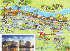
Kuching Tourist Map
Guide to Kuching, Sarawak
368 miles away
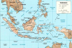
Indonesia Island Map
379 miles away
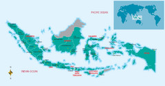
Indonesia Overview map
Shows regions of Indonesia and inset map shows Indonesia in context of rest of world.
379 miles away
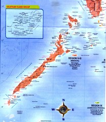
Palawan Islands Map
419 miles away
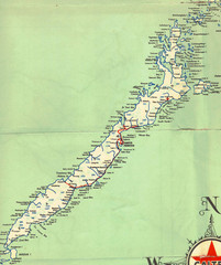
Palawan Island Road Map
437 miles away
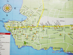
Puerto Princesa, Palawan Map
450 miles away

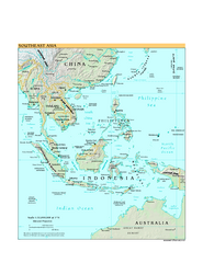
Southeast Asia Map
465 miles away
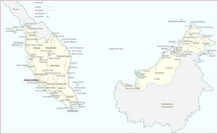
Malaysia Map
A large Malaysia map with main citiies, roads and railways pointed out on the map.
502 miles away
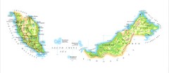
Malaysia Map
Map of Malaysia shows Malaya peninsula and Sarawak and Sabah
570 miles away
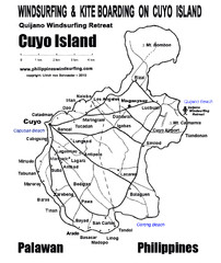
Cuyo Island Palawan Philippine Map
Cuyo is part of a group of 45 islets known as Quiniluban. It lies south of Mindoro and between...
612 miles away
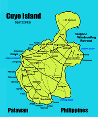
Cuyo Island Palawan Philippines Map
613 miles away
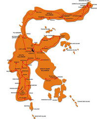
Sulawesi Island Map
Tourist map of island of Sulawesi, Indonesia.
624 miles away
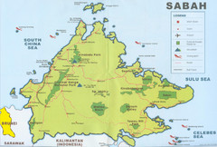
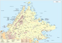
Sabah Map
Location Map of National Parks of Sabah, South Asia. Includes towns, roads, parks, mountains, and...
629 miles away


 Explore Maps
 Map Directory
