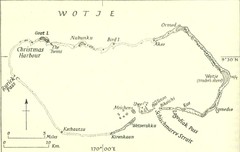
Wotje atoll Map
0 miles away

Maleolap and Aur atoll Map
100 miles away

Taka atoll Map
121 miles away
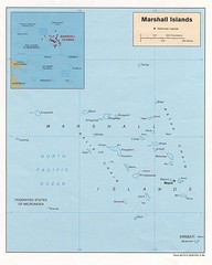
Marshall Islands Map
Guide to the island country of Marshall Islands
164 miles away
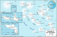
Marshall Islands Map
170 miles away

Majuro atoll Map
178 miles away

Kwajalien atoll Map
179 miles away

Kwajelein atoll Map
180 miles away
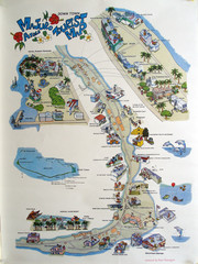
Majuro Atoll Downtown Tourist Map
Tourist map of Majuro Atoll in the Marshall Islands. Shows all points of interest.
187 miles away

Arno atoll Map
198 miles away

Jaliut atoll Map
241 miles away
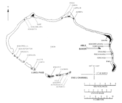
Bikini atoll Map
349 miles away
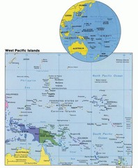
West Pacific Islands Map
Guide to the island nations of the West Pacific, such as the Federated States of Micronesia...
493 miles away
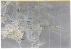
Oceania Overview Map
Overview physical relief map of Oceania. Shows major Oceania Pacific Ocean island groups. Map...
551 miles away
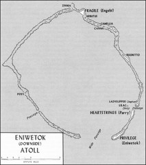
Eniwetok atoll Map
553 miles away
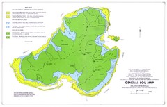
Kosrae Island Soil Map
General soil map of Kosrae Island
563 miles away
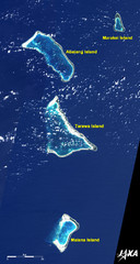
Kiribati Islands Map
Kiribati satellite image of Kiribati Islands of Tarawa Island, Abaiang Island, Marakei Island, and...
589 miles away
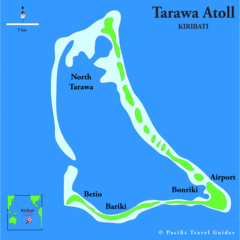
Tarawa atoll Map
590 miles away

Chernarus Map
718 miles away
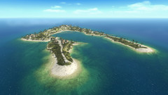
Wake Island Map
Screen shot from computer game of Wake Island 1943
719 miles away
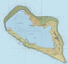
Wake Island Map
719 miles away

Nauru physical Map
722 miles away

Nauru tourist Map
722 miles away

Nauru Map
722 miles away

Nauru island Map
722 miles away
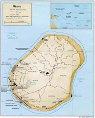
Nauru Island Tourist Map
722 miles away

Nauru Region Map
Guide to Nauru, the world's smallest island nation
723 miles away
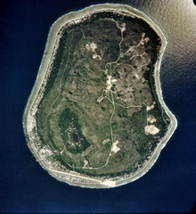
Nauru Satellite Map
Satellite photo map of island of Nauru
723 miles away
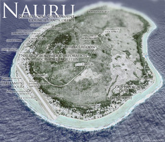
Nauru Tourist Map
Tourist map of island nation of Nauru, the smallest island nation in the world and the 3rd smallest...
723 miles away

Nauru Map
Guide to Nauru, the world's smallest island nation
723 miles away
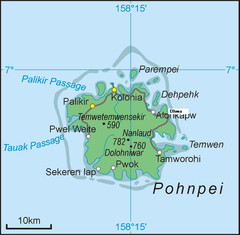
Pohnpei Island Map
828 miles away
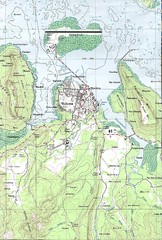
Kolonia vicinity Map
829 miles away
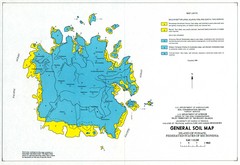
Pohnpei island soil Map
830 miles away
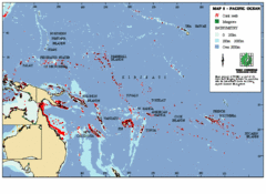
East Asian Pacific Ocean Map
Map of the Pacific Ocean surrounding East Asian Islands from the Solomon Islands to USA Hawaii.
878 miles away
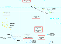
US Minor Outlying Islands Map
Shows all islands included in the United States Minor Outlying Islands designation.
1104 miles away

Nanumea atol Map
1126 miles away
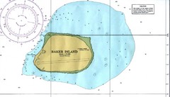
Baker Island Nautical Map
Nautical map of US unincorporated territory of Baker Island.
1127 miles away

Niutao island Map
1188 miles away
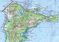
Weno (Moen) island Map
1252 miles away

Nui atoll Map
1252 miles away

