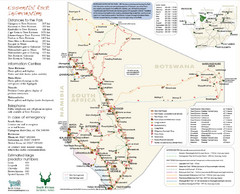
Kgalagadi Transfrontier Park Map
939 miles away
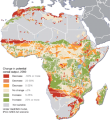
Projected climate change impacts for agriculture...
Africa is one of the regions that will be hit the hardest by climate change, and it will likely...
966 miles away
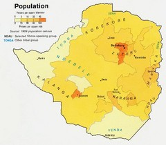
South Rhodesia Population Map
This map marks the distribution of population within South Rhodesia.
967 miles away
Botswana map
970 miles away
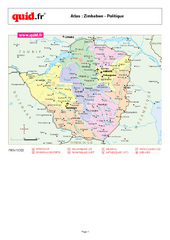
Zimbabwe Regional Map
Country map with detail of regional divides
972 miles away

Mfuwe Area South Luangwe National Park Map
980 miles away
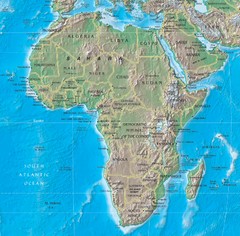
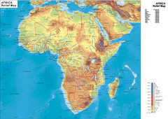
Physical Africa Map
980 miles away
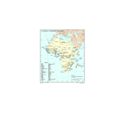
Economic Commission for Africa Map
Map of Economic Commission for Africa with detail of member-countries
980 miles away
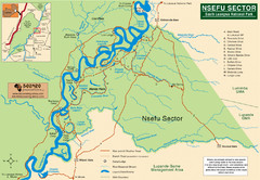
Nsfeu Sector South Luangwa National Park Map
988 miles away
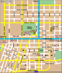
Harare City Tourist Map
Map of city center with detail of street names and hotels
994 miles away
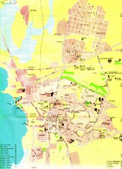
Bujumbura City Map
1016 miles away
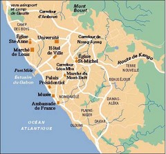
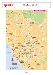
Libreville City Map
Simple map marking towns and roads.
1021 miles away
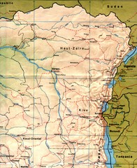
Zaire (Eastern Region) Map
Eastern Zaire (now Democratic Republic of the Congo)
1022 miles away
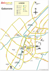
Gaborone City Map
Map and legend marking sites in this most populated city of Botswana.
1033 miles away

89 Map
Tourist map of Gaborone, Botswana. Shows major streets and points of interest.
1037 miles away
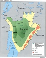
Burundi Agricultural Map
Map of Burundi's major agricultural areas
1041 miles away
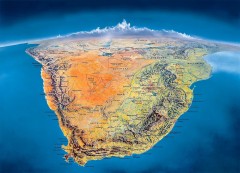
Southern Africa Panorama Map
Panoramic view of southern Africa. Shows South Africa, Namibia, Botswana, Angola, Zambia, Zimbabwe...
1044 miles away
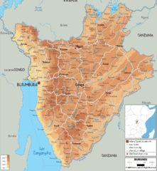
Burundi Physical Map
1046 miles away
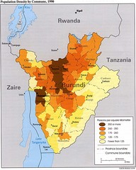
Burundi Population Density Map
Map of Burundi's population density by commune
1048 miles away
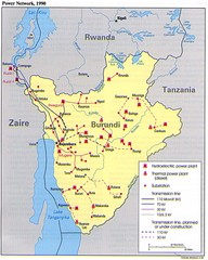
Burundi Power Plant Map
Map marking hydroelectric and thermal power plants, plus transmission lines.
1048 miles away
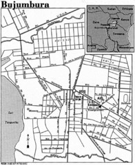
Burundi City Map
Simple city map labeling road systems.
1048 miles away
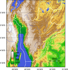
Burundi Topography Map
Color-coded physical relief map of country of Burundi
1051 miles away
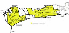
Mapungubwe National Park Camping Map
1051 miles away
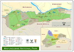
Mapungubwe National Park Map
1051 miles away
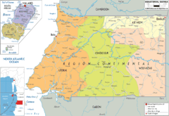
Equatorial Guinea Political Map
1054 miles away
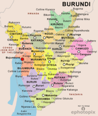
Burundi Political Map
1056 miles away
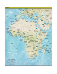
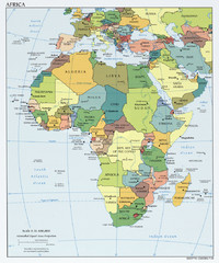
Africa CIA world factbook Map
1061 miles away
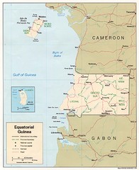
Equatorial Guinea Map
Guide to the African country of Equitorial Guinea
1063 miles away
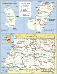
Equatorial Guinea Admin. Map
1064 miles away
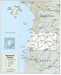
Equatorial Guinea Guide Map
1069 miles away
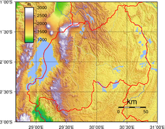
Rwanda Topography Map
1080 miles away

Fish River Canyon Hiking Trail Map
Hiking Trail Map for Fish River Canyon in Nambia, Africa. Includes distances, points of interests...
1082 miles away
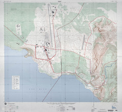
Goma Map
Goma, Democratic Republic of the Congo • original scale 1:7,500, Edition 3-DMA, Series Z091.
1084 miles away
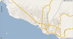
Goma, Congo street map
Street map of eastern Congo–Kinshasha city of Gome, near the Rwanda border. Produced by...
1084 miles away
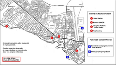
City of Goma Evacuation Plan, late 2007 Map
Map of Goma indicating evacuation points for Congolese government push against rebel groups (mostly...
1084 miles away
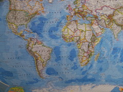
Southern Hemisphere World Map
1085 miles away

Southern Namibia Map
1097 miles away

