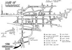
Windhoek Backpacker Map
Sketch map of capital city of Windhoek, Namibia for backpackers. Windhoek is situated in almost...
726 miles away
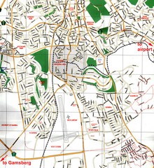
Windhoek Tourist Map
Map of Windhoek, Namibia
726 miles away
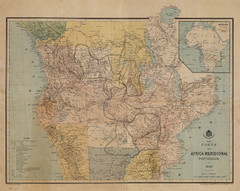
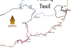
Map Color Pink: Portuguese States of Africa
"Map Color Pink" was the name given to the Portuguese project to link Angola to...
745 miles away
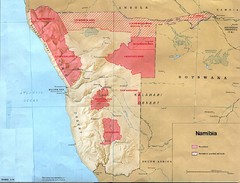
Namibia Homelands Map
Map of Namibia homelands as of 1978
754 miles away
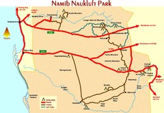
Namib Naukluft Park Map
775 miles away

Zambezi River Basin Map
783 miles away

Eastern Central Namibia Map
813 miles away
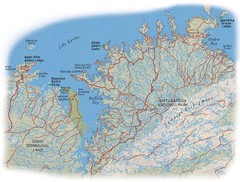
Matusadona National Park Map
816 miles away
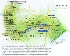
Zambezi River Map
826 miles away
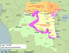
Congo Map
Cities, capitols, borders and more are clearly marked on this map.
827 miles away
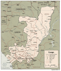
Congo 1986 Guide Map
827 miles away
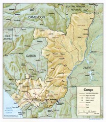
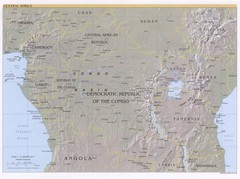
Congo Physical Relief Map
Physical relief map of the Republic of the Congo. Shows major roads and cities.
827 miles away
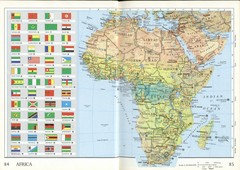
Africa Flag Map
Physical map of Africa with flag legend for all countries. Scanned.
851 miles away
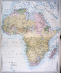
Africa Map 1885
Shows Africa with pre-colonial boundaries demarcated at the Berlin Conference of 1885.
851 miles away
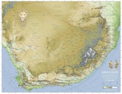
Africa South Full Map
A new relief map of Africa South showing some roads and towns and with boundaries natural replacing...
855 miles away
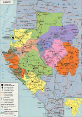
Gabon Regional Map
Guide to the regions of Gabon
861 miles away
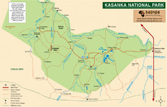
Kasanka National Park Map
867 miles away
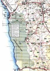
Western Central Namibia Map
874 miles away
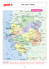
Gabon Regional Map
Map of Gabon with detail of regional divides
876 miles away
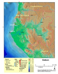
Gabon Shaded Relief Map
Shaded relief map of Gabon. Shows airports, railroads, roads, and cities.
876 miles away
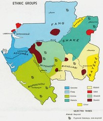
Gabon ethnic groups Map
877 miles away

Trans Kalahari Highway Map
Map of Trans Kalahari Highway through Botswana showing distances, fuel stations and accomodations.
877 miles away
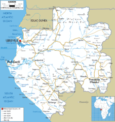
Gabon road Map
881 miles away
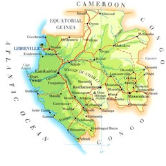
Gabon Map
882 miles away
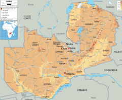
Zambia physical Map
883 miles away
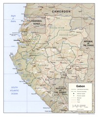
Gabon physical Map
887 miles away
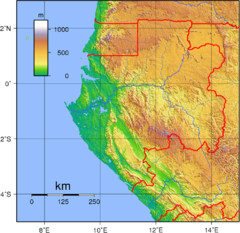
Gabon Topography Map
889 miles away
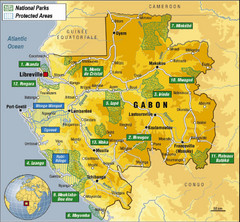
Gabon National Park Map
Guide to the national parks of Gabon in Africa
900 miles away
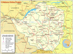
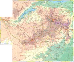
Zimbabwe Tourist Map
918 miles away
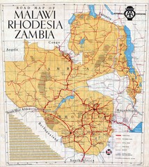
Malawi, Rhodesia and Zambia Road Map
Road map to the southern countries of Africa
920 miles away
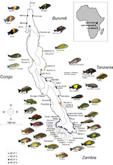
Fish of Lake Tanganyika Map
922 miles away
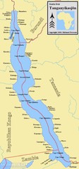
Lake Tanganyika Map
Deepest Lake in Africa at 4823 ft.
924 miles away
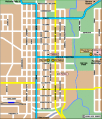
Bulawayo City Tourist Map
Map of city center with detail of streets and hotels
929 miles away

