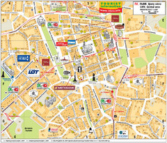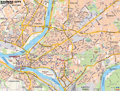
Kaunas Tourist Map
Tourist map of central Kaunas, Lithuania. Shows points of interest.
288 miles away
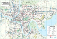
Kaunas City Map
288 miles away
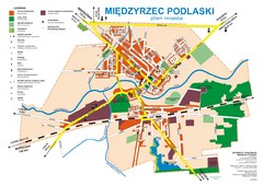
Miedzyrzec Podlaski Location Map (polish)
290 miles away

Drohiczyn Podlaskie Kayak Map
Kayak trips on the bug river highlighted on the map of Drohiczyn, Podlaskie, Poland.
293 miles away
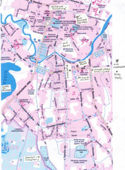
Rezekne Tourist City Map
295 miles away

Ukraine Places of Interest Map
Overview map of Ukraine. Shows places of interest. Inset map shows administrative and territorial...
295 miles away
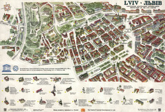
Lviv Tourist Map
Tourist map of historic district of central Lviv, Ukraine, added to the UNESCO World Heritage List...
302 miles away
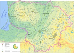
Lithuania physical Map
303 miles away

Lviv. Southern outskirts of city (in Ukrainian...
Lviv. High detailed southern outskirts of city (in Ukrainian)
309 miles away
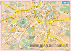
Street map of central Lviv, Ukraine. (Russian)
Street map of central Lviv, Ukraine. In Russian.
309 miles away
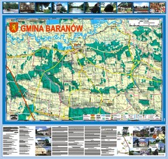
Baranow count wall map, PL Map
Baranow commune in Pulawy county, PL 3D big size wall map, surrounded by photos from Baranow area...
324 miles away
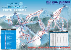
Bukovel Ski Resort Map
Map of Bukovel's slopes, lifts and resort
326 miles away
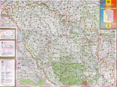
Moldova Topographical Map - North
Detailed topo map of northern Republic of Moldova. In Ukrainian.
329 miles away
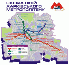
Official Kharkiv Metro Map (Ukrainian)
Official metro map of Kharkiv. In Ukrainian.
335 miles away
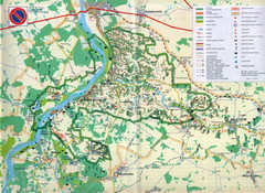
Kazimierski Landscape Park Map
Part of one of main ecological corridors in Europe enabling the birds to nest and migrate.
335 miles away
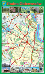
GNIEWOSZOW commune map, PL Map
Gniewoszow commune map Ed. 2007
338 miles away
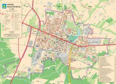
Minsk Tourist Map
Tourist map of Minsk, Poland. In Polish.
340 miles away
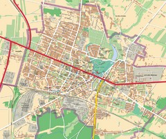
Mińsk Mazowiecki City Map
City map of Mińsk Mazowiecki, Poland
340 miles away
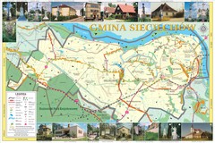
Sieciechow, Poland, Mazovia Map
Sieciechow commune map, Mazovia, PL
340 miles away
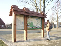
Sieciechow commune street map, PL Map
Sieciechow commune - street map Ed. 2007 Size 2000 x 1000 mm Type: administratie and touristic map
341 miles away
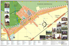
Garbatka_Letnisko_Poland.jpg Map
Map of Garbatka_Letnisko_Poland.jpg is a "city-village" plan. I do love to enter photos...
346 miles away
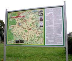
Policzna_Zwolen_Poland.jpg Map
Map of Policzna_Zwolen_Poland.jpg is another "all-proof" street map. 5 years on site...
346 miles away
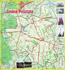
Policzna Commune Street Map
POLICZNA Commune, street map Ed. 2008 Size 2000 x 1250 mm Waterproof print-out verified for...
347 miles away
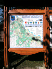
Kozienice_County_Poland_Streetmap.jpg Map
Street Map of Kozienice_County_Poland_Streetmap.jpg is added here because of the interesting wooden...
348 miles away
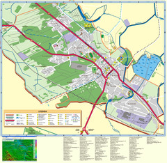
Kocienice_City_Plan-POLAND Map
Plan of City of Kozienice, PL
348 miles away
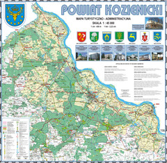
Kozienice_County_wall_map Map
Kozienice County big size wall map Covers all 7 communes: Kozienice, Garbatka-Letnisko, Grabow nad...
349 miles away
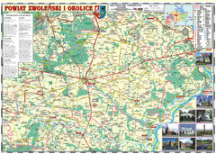
Zwolen_county_folded_map_POLAND Map
Zwolen county, paper folded map Scale 1: 70 000 Projection UTM/WGS84, GPS compatibile verified...
350 miles away
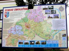
Zwolen county street map
Zwolen county - street map Big size 200 x 300 cm waterproof map
350 miles away
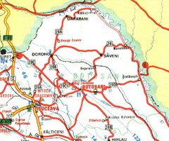
Botosani Map
351 miles away
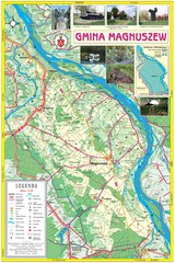
Magnuszew Commyne - Touristic map
Magnuszew commune - touristic, folded map.
352 miles away
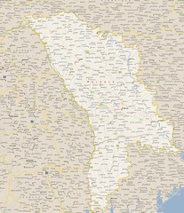
Moldova - Cities Map
353 miles away
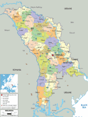
Moldova - Political Map
353 miles away
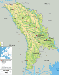
Moldova - Physical Map
353 miles away
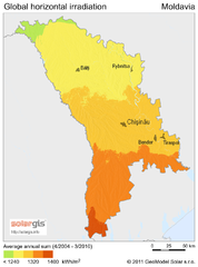
Solar Radiation Map of Moldova
Solar Radiation Map Based on high resolution Solar Radiation Database: SolarGIS. On the Solar Map...
353 miles away
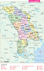
Moldavie Map
353 miles away
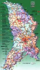
Moldova Tourist Map
Tourist map of Moldova. Shows major roads, rivers, monuments, fortresses, churches, and monastaries.
353 miles away
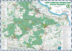
PuszczaKozienicka tourist map
LKP - Lesny Kompleks Promocyjny - PuszczaKozienicka - tourist map Ed. 2010 Projection: UTM/WGS84...
354 miles away
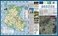
Brzoza_Glowaczow_Poland - 2000 x 1250.PNG Map
Map of Brzoza_Glowaczow_Poland - 2000 x 1250.PNG is special project dedicated to school in Brzoza...
354 miles away

