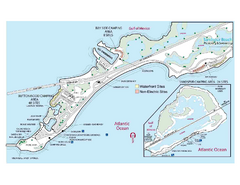
Bahia Honda State Park Map
Map of park with detail of recreation zones
284 miles away
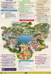
Universal Studios Guide Map
285 miles away
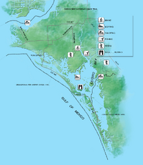
Estero Bay Preserve State Park Map
Map of park with detail of trails and recreation zones
285 miles away
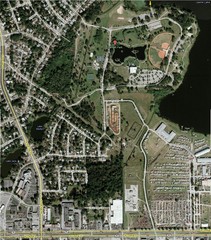
Lake Lawne Satellite Map
286 miles away
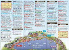
Epcot Resort Tourist Map
Epcot Resort in Disney World
286 miles away
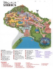
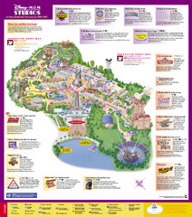
MGM Studios Map
Old MGM Studios Map with shopping & restaurant locations included (pre-100 Years of Magic...
287 miles away
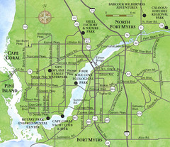
Cap Coral and Surrounding Area Map
Small, humble fishing community along the coast of Florida.
287 miles away
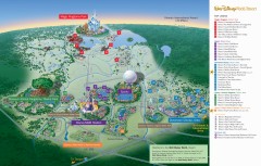
Disney World resort map
Overview property map of all of the major Walt Disney World Resorts
287 miles away
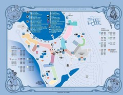
Walt Disney World and Epcot Boardwalk Map
288 miles away
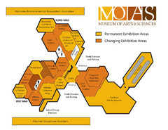
MOAS Museum Map
288 miles away
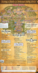
Disney World's Magic Kingdom Guide Map
288 miles away
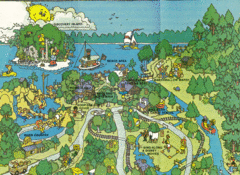
Walt Disney World Resort Fort Wilderness Map
1978 Fort Wilderness Resort Guide Top Half of Map
288 miles away
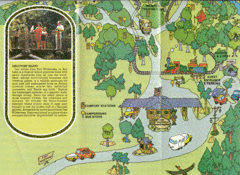
Walt Disney World Resort Fort Wilderness Guide...
Walt Disney World Resort Fort Wilderness Guide Bottom Half of Map
288 miles away
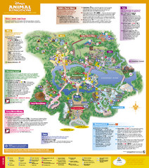
Disney's Animal Kingdom Map
Animal Kingdom Map.
289 miles away
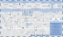
Dayton Beach Map
Map of greater Dayton Beach area
289 miles away
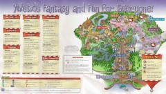
Magic Kingdom Guide Map
289 miles away
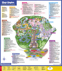
Disney's Magic Kingdom Map
Magic Kingdom Map.
290 miles away
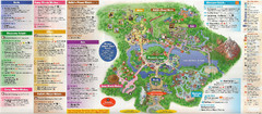
Discovery Island in Disney World Guide Map
Oasis, Discovery Island, Camp Minnie-Mickey, Rafiki's Planet Watch, DinoLand U.S.A.
290 miles away
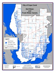
Cape Coral, Florida City Map
290 miles away
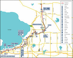
West Orange Trail Map
Trail map from Oakland to Apopka
292 miles away
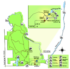
Wekiwa Springs State Park Map
Map of park with detail of trails and recreation zones
294 miles away
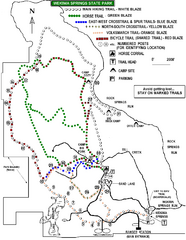
Wekiwa Springs State Park Trail Map
Trail map of park
294 miles away
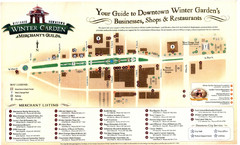
Winter Garden Merchant's Guild Map
Map of downtown Winter Garden Merchant's Guild
294 miles away
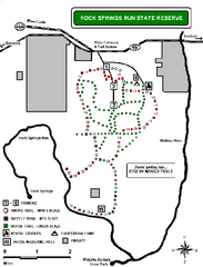
Rock Springs Run State Reserve Trail Map
Map of various trails throughout reserve
295 miles away
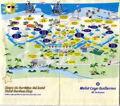
Cayo Guillermo Tourist Map
295 miles away
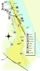
Tomoka State Park Map
Map of park with detail of recreation zones
296 miles away
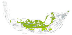
Sanibel Island and Captiva Island Map
298 miles away
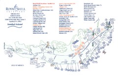
Sanibel Island Tourist Map
Tourist map of Sanibel Island, Florida
299 miles away
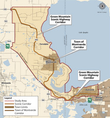
Montverde Highway Map
300 miles away
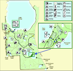
Lake Louisa State Park Map
Map of park with detail of trails and recreation zones
300 miles away
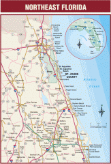
Northeast Florida Road map
A complete road map of the Northeast section of the state of Florida.
306 miles away
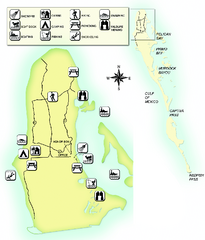
Cayo Costa State Park Map
Map of park with detail of trails and recreation zones
306 miles away
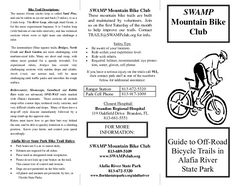
Alafia River State Park Bike Trail Map
Map of park with detail of various bike trails throughout
307 miles away
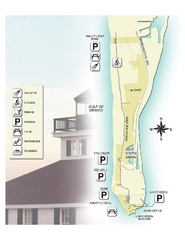
Gasparilla Island State Park Map
Map of park with detail of trails and recreation zones
307 miles away
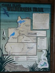
Myakka Island Trail Map
Trail map of Myakka Island. From photo.
310 miles away
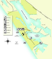
Don Pedro Island State Park Map
Map of park with detail of trails and recreation zones
310 miles away
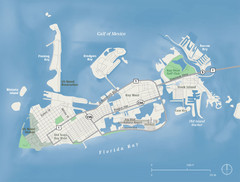
Key West Map
315 miles away
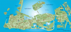
Key West tourist map
Key West tourist map, showing points of interest.
316 miles away

