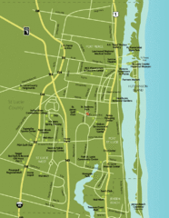
Port St. Lucie Map
Map of Port Saint Lucie.
190 miles away
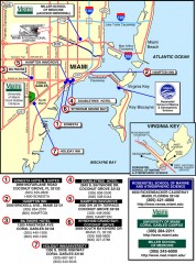
Miami Hotel map
Map of Miami showing local hotels and lodging
190 miles away
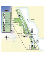
Savannas Preserve State Park Map
Map of park with detail of trails and recreation zones
190 miles away
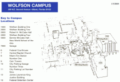
Miami Dade College - Wolfson Campus map
Miami Dade College - Wolfson Campus map
191 miles away
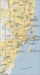
Miami, Florida City Map
191 miles away
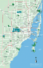
Greater Miami tourist map
Tourist map of Greater Miami, showing airports and beaches.
191 miles away
Miami tourist map
Tourist map of Miami, showing shopping, dining, and points of interest.
191 miles away
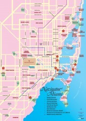
Miami tourist map
Tourist map of Miami showing points of interest
191 miles away

Miami, Florida Tourist Map
191 miles away
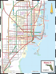
Miami, Florida Tourist Map
191 miles away
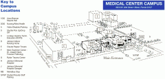
Miami Dade College - Medical Center campus map
Map of the Miami Dade College Medical Center with key to campus locations.
191 miles away
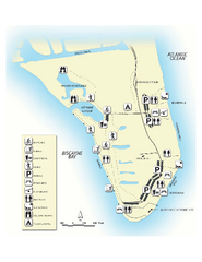
Bill Baggs State Recreation Area Map
Map of park with detail of various recreation zones
191 miles away
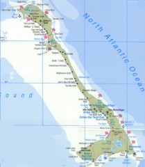
Tourist map of Cat Island
Tourist map of Cat Island in the Bahamas
192 miles away

Miami Dade College - North Campus map
Miami Dade College - North Campus map
192 miles away

Port St. Lucie , Florida City Map
194 miles away
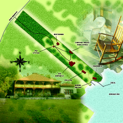
The Barnacle Historic State Park Map
Map of park
195 miles away
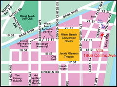
Central Miami, FL Tourist Map
195 miles away
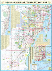
Miami, Florida Tourist Map
195 miles away
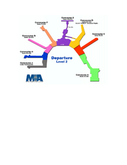
Miami International Airport Terminal Map
Official map of Miami International Airport. All terminals shown.
196 miles away
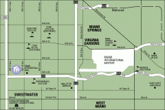
Miami Golf Course map
Map of the golf courses and museums surrounding the Miami International Airport
198 miles away
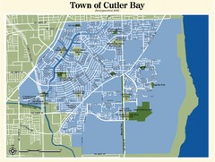
Cutler Bay Map
202 miles away
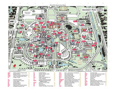
Florida International University Campus Map
202 miles away
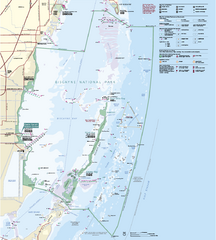
Biscayne National Park Official Map
Official NPS map of Biscayne National Park in Florida. Convoy Point, location of the parks...
203 miles away
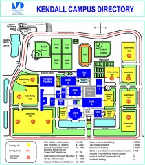
Miami Dade College - Kendall campus Map
Map of the Miami Dade College - Kendall campus, one of 8 campuses of Miami Dade College. From...
204 miles away
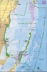
Biscayne National Park Map
205 miles away

Birdwatching Areas in St. Lucie County Florida Map
Map shows Birdwatching Areas in St. Lucie County, Florida.
206 miles away
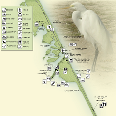
Sebastian Inlet State Park Map
Map of park with detail of trails and recreation zones
211 miles away
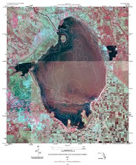
Elevation contour maps of Lake Okeechobee Map
Elevation contour maps of Lake Okeechobee
216 miles away
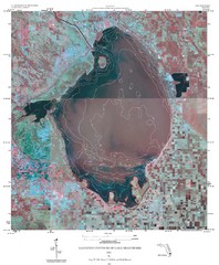
Elevation Contours of Lake Okeechobee Map
Elevation contour maps of Lake Okeechobee
216 miles away
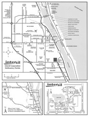
Palm Bay, Florida City Map
226 miles away

Cocoa Beach Tourist Map
233 miles away

Space Coast, Florida Map
Tourist map of Florida's Space Coast. Shows Kennedy Space Center, Cape Canaveral Air Station...
235 miles away
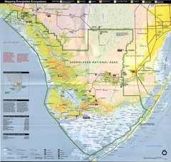
Everglades National Park Map
240 miles away
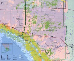
Big Cypress National Reserve Map
244 miles away
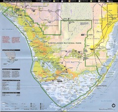
Everglades National Park Map
246 miles away
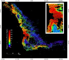
Mangrove Biomass Map
Map of Mangrove Forest Biomass was produced using the elevation data from the Shuttle Radar...
246 miles away
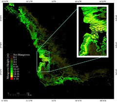
Mangrove Height Map
Map of Mangrove Forest Height was produced using the elevation data from the Shuttle Radar...
246 miles away
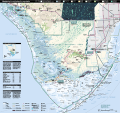
Everglades National Park Map
Official NPS map of Everglades National Park
247 miles away
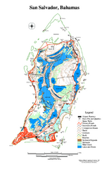
San Salvador map
Tourist map of San Salvador in the Bahamas.
253 miles away
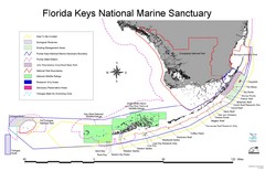
Florida Keys National Marine Sanctuary Map
Map of Florida Keys National Marine Sanctuary
255 miles away

