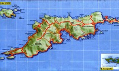
Tortola Island Map
1096 miles away
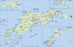
Map of Tortola Island
Tourist map of Tortola, the main island of the British Virgin Islands. Shows national parks and...
1097 miles away
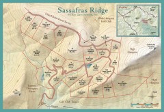
Sassafras Ridge Shaded Relief Map
This map is a shaded relief property map with survey boundaries and property roads. The map...
1097 miles away

Sassafras Ridge Panorama Map
Panoramic view from Sassafras Ridge near Cashiers, North Carolina.
1098 miles away
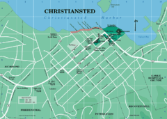
Christiansted Map
1098 miles away

Detailed Map of Hawkesdene House area
Detailed map of how to get to Hawkesdene House B&B Inn
1098 miles away
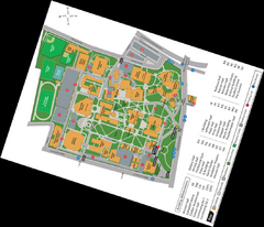
Queen's College Map
1098 miles away
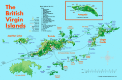
British Virgin Islands Tourist Map
Tourist map of British Virgin Islands with list of major attractions
1100 miles away

North Carolina Road Map
Road map of North Carolina
1100 miles away
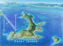
Peter Island BVI Map
1101 miles away

Charlotte, North Carolina City Map
1101 miles away
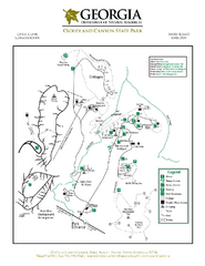
Cloudland Canyon State Park Map
Map of park with detail of trails and recreation zones
1103 miles away

Map of Southern Blue Ridge Escarpment
Map of the Nature Conservancy's Southern Blue Ridge Escarpment project area showing protected...
1103 miles away
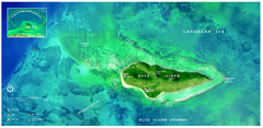
Buck Island Reef National Monument Map
Official NPS park map of Buck Island Reef National Monument off island of St. Croix in the US...
1103 miles away
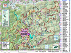
DuPont State Forest Trail map
Trail map of DuPont State Forest. Shows all trails with mileages. From dupontforest.com: "...
1103 miles away
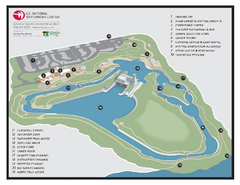
US National Whitewater Center Map
Facility map of the US National Whitewater Center in Charlotte, North Carolina
1104 miles away
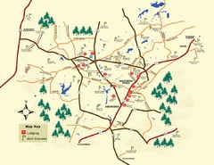
Pinehurst Golf Map
1104 miles away

Panoramic View of the Reserve Map
Panoramic map of the view northeast from 'Gladiola Ridge' in Brevard, North Carolina.
1104 miles away

The Reserve Shaded Relief Map
This map is a shaded relief property map of The Reserve in North Carolina with survey boundaries...
1104 miles away
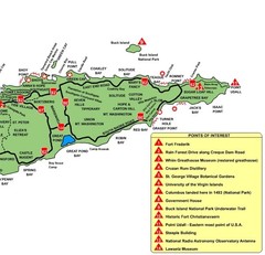
East St. Croix Map
1105 miles away
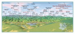
Northwest Reserve Panorama Map
Panoramic Map of the view Northwest from the Reserve in Brevard, North Carolina.
1105 miles away
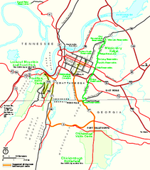
Chickamauga & Chattanooga National Military...
Official NPS map of Chickamauga & Chattanooga National Military Park in Georgia. All units of...
1105 miles away
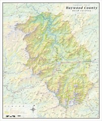
Haywood County Topographical Map
This topographic wall map of Haywood County emphasizes the rugged mountain terrain and natural...
1107 miles away
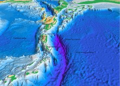
Atlantic Trench Bathymetric Map
1109 miles away
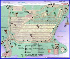
Isla Blanca Beach Park Map
Map of Isla Blanca Beach Park. Shows RV hookups and spots.
1109 miles away
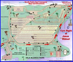
Isla Blanca Park Map
1110 miles away
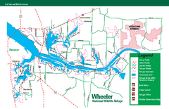
Wheeler National Wildlife Refuge Map
Map of Wheeler National Wildlife Refuge. Includes all roads, hiking trails, camp grounds and...
1110 miles away
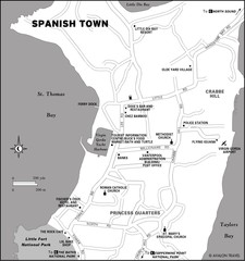
Spanish Town BVI Map
1110 miles away
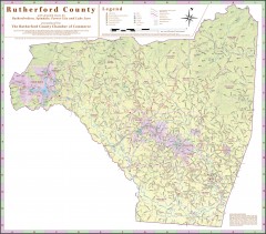
Tourist map of Rutherford County
Map of Rutherford County with detail panels for Rutherfordton, Spindale, Forest City, and Lake Lure.
1110 miles away
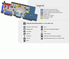
Huntsville International Airport Map
Official Map of Huntsville International Airport in Wisconsin. Shows all terminals and facilities.
1110 miles away
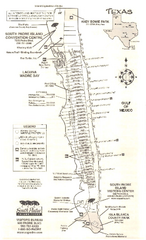
South Padre Island Map
Tourist map of South Padre Island
1111 miles away
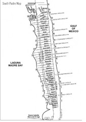
South Padre Island Street Map
1111 miles away
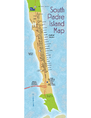
South Padre Island Map
Street map of South Padre Island, Texas. Shows beach names.
1111 miles away
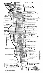
South Padre Island Street Map
Map of Jim's Beach Service of South Padre Island, Texas
1111 miles away
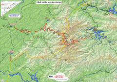
Cherohala Map
Map of Cherohala Skyway. Includes Visitor Information, roads, camping areas, and trails.
1111 miles away
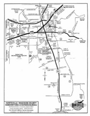
Huntsville City Map
City map of Huntsville, Alabama
1112 miles away
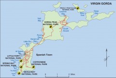
Map of Virgin Gorda
Map of Virgin Gorda in the British Virgin Islands. Shows national parks.
1112 miles away
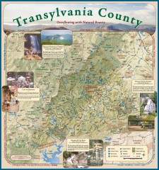
Transylvania County Tourism Development Map
Transylvania County tourist map, showing all points of interest including hiking and picnic areas.
1112 miles away
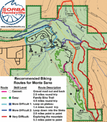
Monte Sano State Park Bike Routes Map
Recommended Biking Routes for Monte Santo with Easy to difficult routes marked.
1112 miles away
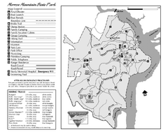
Morrow Mountain State Park map
Detailed recreational map for Morrow Mountain State Park in North Carolina
1113 miles away

