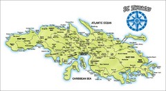
St. Thomas Island Map
Overview road map of island of St. Thomas in the U.S. Virgin Islands. Shows major roads, districts...
1077 miles away
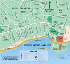
Charlotte Amalie U.S. Virgin Islands Map
1078 miles away
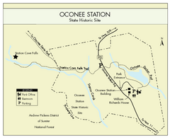
Oconee Station Map
Clear and simple map of Oconee State Park's station.
1079 miles away
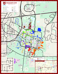
Mississippi State University Map
1080 miles away
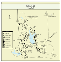
Oconee State Park Map
Beautiful state park clearly mapped with legend.
1081 miles away
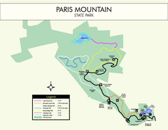
Paris Mountain State Park Map
Clearly labeled map of this beautiful state park.
1081 miles away
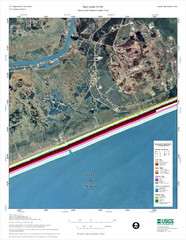
High Island Map
1082 miles away
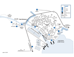
Moccasin Creek State Park Map
Map of park with detail of trails and recreation zones
1083 miles away
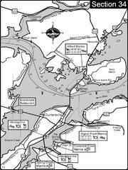
Guntersville, AL Tennessee River/Lake...
For boating navigational information and river road travel along the Tennessee River. This section...
1084 miles away
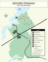
Keowee Toxaway State Park Map
Clear and detailed map of this wonderful state park.
1084 miles away
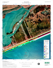
High Island Map
Coastal classification map of High Island
1084 miles away

Putrajaya Tourist Map
1084 miles away
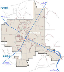
Rainsville Street Map
Chamber of Commerce Business Guide
1085 miles away
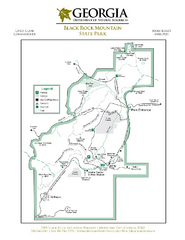
Black Rock Mountain State Park Map
Map of park with detail of trails and recreation zones
1086 miles away
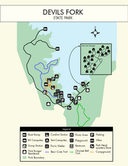
Devils Fork State Park Map
Clearly marked state park map.
1086 miles away
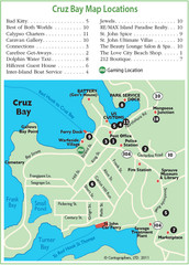
Cruz Bay St. John Map
1087 miles away
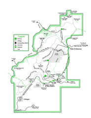
Black Rock State Park map
Detailed recreation map for Black Rock State Park in Georgia
1087 miles away
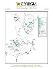
Fort Mountain State Park Map
Map of park with detail of trails and recreation zones
1088 miles away
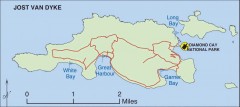
Jost Van Dyke map
Map of Jost Van Dyke island of the British Virgin Islands in the Caribbean.
1089 miles away
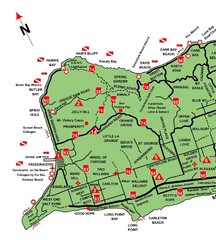
West St. Croix Map
1090 miles away
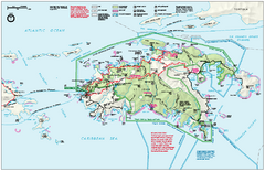
Virgin Islands National Park Map
Official NPS map of Virgin Islands National Park in the Virgin Islands. Map shows main island and...
1090 miles away
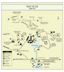
Table Rock State Park MAP
Clear and simple state park map and legend.
1090 miles away
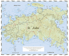
St. John Trail Map
Topographical trail map of St. John in the US Virgin Islands.
1090 miles away
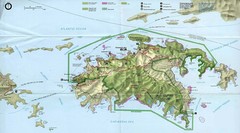
Virgin Islands National Park Tourist Map
1091 miles away
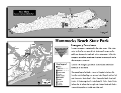
Hammocks Beach State Park Map
Detailed recreation map for Hammocks Beach State Park in North Carolina
1091 miles away

Downtown Beaumont Libraries Map
1091 miles away
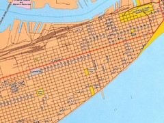
Galveston City Map
Street map of Galveston
1091 miles away

Guntersville Lake Map
1091 miles away

Galveston Island, Texas State Park Facility and...
1093 miles away
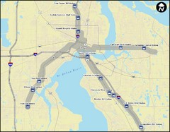
Jacksonville Bus Route Map
Bus routes in Jacksonville.
1093 miles away
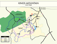
Kings Mountain State Park Map
Clearly marked state park map.
1094 miles away
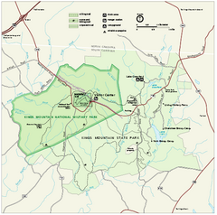
Kings Mountain National Military Park Official Map
Official NPS map of Kings Mountain National Military Park in South Carolina. Open Daily 9:00 a.m...
1094 miles away
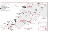
West Tortola Driving Tour Map
1094 miles away
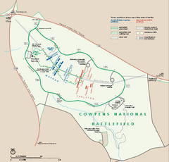
Cowpens National Battlefield Official Map
Official NPS map of Cowpens National Battlefield in South Carolina. Open 9:00 a.m. - 5:00 p.m...
1094 miles away
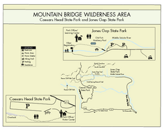
Mountain Bridge Wilderness Area Map
Map and legend marking bathrooms, picnic sites, trails and more.
1094 miles away
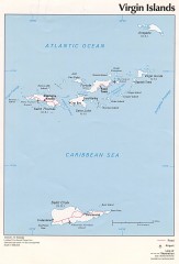
Map of the Virgin Islands
Map of the Virgin Islands
1095 miles away
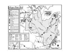
Gorges State Park map
Detailed recreation map for Gorges State Park in North Carolina
1096 miles away
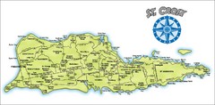
St. Croix Island Map
Overview map of island of St. Croix, US Virgin Islands. Shows districts, roads, and towns.
1096 miles away
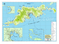
Tortola British Islands Tourist Map
Places of interest.
1096 miles away
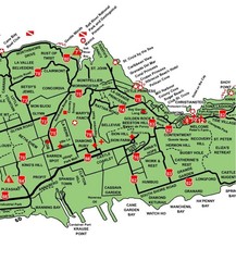
Central St. Croix Map
1096 miles away

