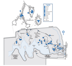
Indian Springs State Park Map
Map of park with detail of trails and recreation zones
976 miles away
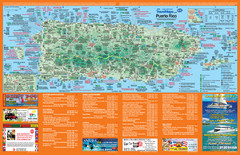
Puerto Rico Tourist Map
Map of island with detail of local tourist attractions
977 miles away

MCG Health System--Medical College of Georgia...
Color-coded map of all buildings on the Medical College of Georgia associated with the MCG Health...
980 miles away
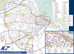
Augusta Public Transit Routes Map
Transit Route Map of the town of Augusta. Includes all streets, some important buildings, and a...
980 miles away
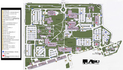
Augusta State University Map
Campus map
980 miles away
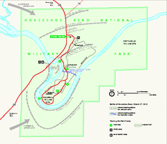
Horseshoe Bend National Military Park Official Map
Official NPS map of Horseshoe Bend National Military Park in Alabama. Horseshoe Bend National...
982 miles away
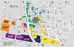
LSU Stadium and Parking Map
Guide to Louisiana State University Stadium and Parking
983 miles away
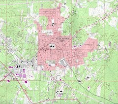
Alexander City Map
Topography city map of Alexander City, Alabama
983 miles away
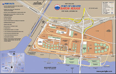
Port of Baton Rouge, Louisiana Tourist Map
984 miles away
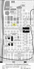
Downtown Baton Rouge, Louisiana Tourist Map
984 miles away
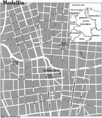
Medellin City Tourist Map
984 miles away
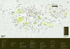
Medellin City Map
984 miles away
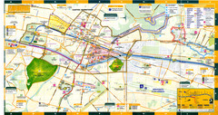
Medellin Map
984 miles away
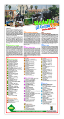
Medellin Turistico Map
984 miles away
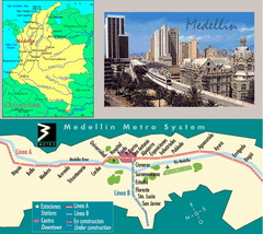
Medellin Metro Transit Map
Transportation map of metro throughout city of Medellin
984 miles away
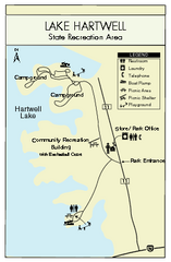
Lake Hartwell State Park Map
Clear state park map.
984 miles away
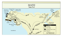
Santee State Park Map
Clear state park map.
984 miles away
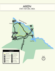
Aiken State Park Map
Small and simple state park map.
985 miles away
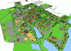
Louisiana State University Map
Louisiana State University Campus Map. All buildings shown.
985 miles away

Lake Oconee Map
985 miles away
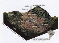
Medellin physical oblique map
From National Geographic Magazine
985 miles away
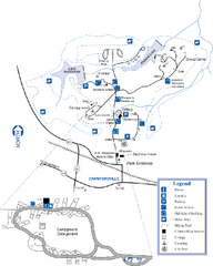
A. H. Stephens Historic Park Map
Map of park with detail of trails and recreation zones
990 miles away
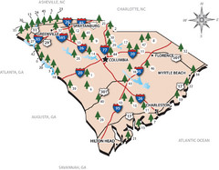
South Carolina State Park Map
Shows state parks in South Carolina
990 miles away
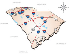
South Carolina Interstate Map
Shows Interstate highways in South Carolina
990 miles away
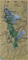
Antietam National Battelfield Map
991 miles away

Huntington Beach State Park Map
Detailed map and legend of this beautiful state park.
992 miles away
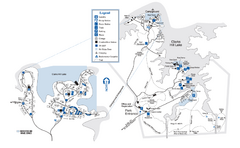
Mistletoe State Park Map
Map of park with detail of trails and recreation zones
993 miles away
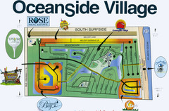
Oceanside Village Map Copy
Map of Oceanside Village Living Community
999 miles away
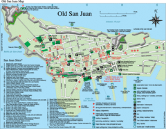
Old San Juan Tourist Map
City tourist map
1000 miles away
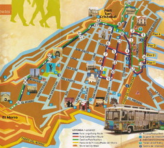
Old Town San Juan and El Morro Map
1000 miles away
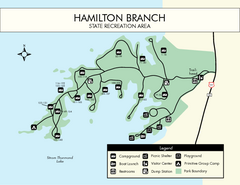
Hamilton Branch State Park Map
Simple state park map.
1000 miles away
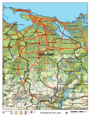
San Juan Road Map
Road map of San Juan, Puerto Rico area. Shows shaded elevation.
1000 miles away
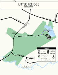
Little Pee Dee Map
Simple state park map.
1000 miles away
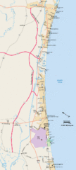
Greater Myrtle Beach Guide Map
1000 miles away
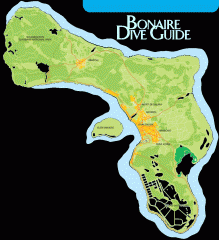
Bonaire tourist map
Tourist map of Bonaire island in the Netherland Antilles. Shows dive sites.
1000 miles away
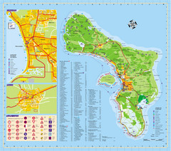
Bonaire Island Tourist Map
1001 miles away
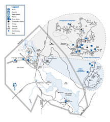
Hard Labor Creek State Park Map
Map of park with detail of trails and recreation zones
1001 miles away
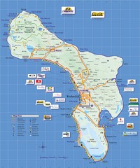
Bonaire Island Tourist Map
1001 miles away

