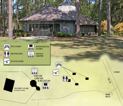
Forest Capital Museum State Park Map
Map of park with detail of recreation zones
758 miles away
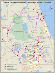
Jacksonville, Florida City Map
762 miles away
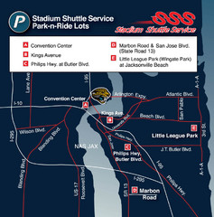
Stadium Shuttle Service Map
762 miles away
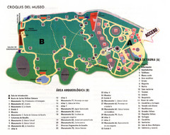
La Venta Park Map
763 miles away
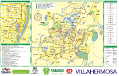
Villahermosa tourist map
764 miles away
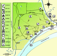
Ochlockonee River State Park Map
Map of park with detail of trails and recreation zones
765 miles away
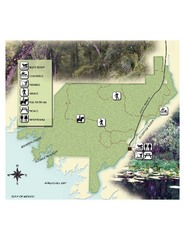
Econfina River State Park Map
Map of park with detail of trails and recreation zones
766 miles away
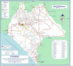
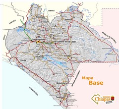
Chiapas Road Map
Road map of the Mexican state of Chiapas. Borders the Pacific Ocean and Guatemala. Shows roads and...
767 miles away
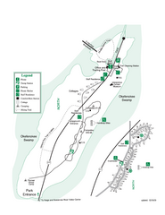
Stephen C. Foster State Park Map
Map of park with detail of trails and recreation zones
767 miles away
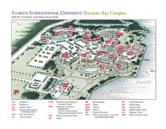
Florida International University at Biscayne...
767 miles away
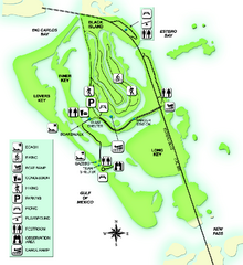
Lovers Key State Park Map
Map of park with detail of trails and recreation zones
770 miles away
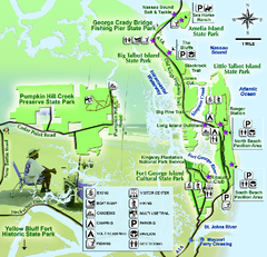
Jacksonville Area Florida State Parks Map
Overview map of Florida State Parks near Jacksonville, Florida. Shows Pumpkin Hill Creek Preserve...
771 miles away
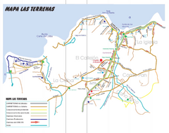
Las Terranas Map
Street map of Las Terranas, Dominican Republic.
771 miles away
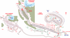
Suwanee Park Camping Map
772 miles away
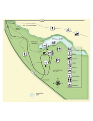
Edward Ball Wakulla Springs State Park Map
Map of park with detail of trails and recreation zones
776 miles away
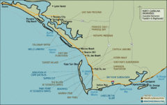
Mexico Beach, Florida Tourist Map
778 miles away
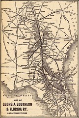
1913 Georgia Southern & Florida Railway Map
782 miles away
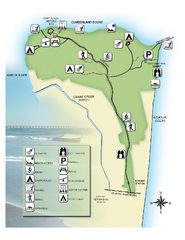
Fort Clinch State Park Map
Park map of Fort Clinch State Park in Amelia Island, Florida. Shows fort historic site, facilities...
787 miles away
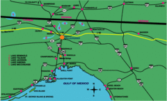
Tallahassee Freeway Map
Freeways and road leading to and from Tallahassee.
788 miles away
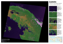
Darién: Frontera de conservación y...
Mapa de Darién: cobertura y uso de suelo 2004.
789 miles away
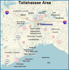
Tallahassee, Florida City Map
791 miles away
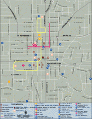
Downtown Tallahassee, Florida Map
Tourist map of downtown Tallahassee, Florida. Museums, government buildings and other points of...
791 miles away

Florida State University Map
Florida State University campus map. All buildings shown.
791 miles away
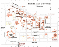
Florida State University Map
791 miles away
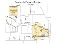
Florida State University Seminole Express Bus Map
791 miles away
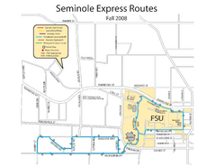
Seminole Express Bus Service Map
Bus route to Florida State University.
791 miles away
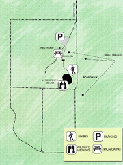
Letchworth-Love Mounds Map
Map of park with detail of trails and recreation zones
792 miles away
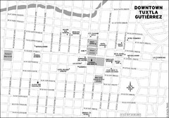
Downtown Tuxtla Gutierrez Map
Downtown Tuxtla Gutierrez
792 miles away
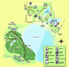
Alfred B. Maclay Gardens State Park Map
Map of park with detail of trails and recreation zones
796 miles away
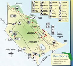
St. Andrews State Park Map
Overview map of St. Andrews State Park, #2 beach in America by TripAdvisor.com, 2008
796 miles away
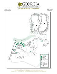
Crooked River State Park Map
Map of park with detail of trails and recreation zones
797 miles away
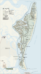
Cumberland Island National Seashore Map
Official NPS map of Cumberland Island National Seashore, Cumberland Island, Georgia. Rated #4...
797 miles away
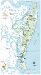
Cumberland Island Map
Map of Cumberland Island, including hiking trails and campgrounds
799 miles away

Lake Tallavana Parcel Map
Lake Tallavana Parcel Map
804 miles away
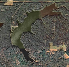
Lake Tallavana Map
Lake Tallavana aerial Map of the lake and surrounding areas.
804 miles away
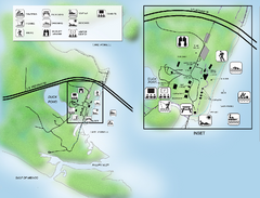
Camp Helen State Park Map
Map of park with detail of various recreation zones
811 miles away
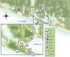
Grayton Beach State Park Map
Map of park with detail of trails and recreation zones
818 miles away
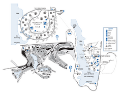
Laura S. Walker State Park Map
Map of park with detail of trails and recreation zones
820 miles away
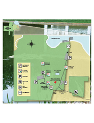
Eden Gardens State Park Map
Map of park with detail of gardens
820 miles away

