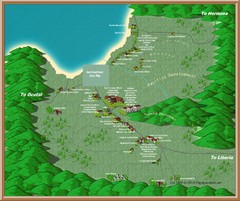
Coco Beach Tourist Map
672 miles away
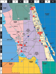
Western Florida County Map
Counties in Western Florida
672 miles away
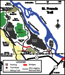
St. Francis Trail Map
The trail is located in Volusia county, about a mile from Deland. It is about an hour from Ocala.
672 miles away
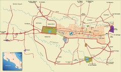
San Jose, Costa Rica Tourist Map
A street map of San Jose, Costa Rica
674 miles away

San Jose City Map
City map of downtown San Jose, Costa Rica
674 miles away
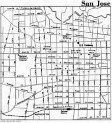
San Jose, Costa Rica City Tourist Map
674 miles away
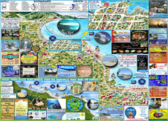
Puerto Viejo Info Guide Map
Maps of Puerto Viejo & Surrounding
674 miles away
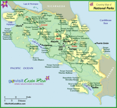
Costa Rica Parks Map
675 miles away
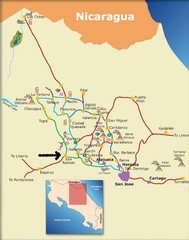
Costa Rica Tourist Map
676 miles away
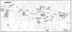
Cartago city Map
676 miles away
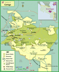
Cartago Tourist Map
Tourist map of Cartago region
679 miles away
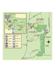
Rainbow Springs State Park Map
Map of park with detail of recreation zones
679 miles away
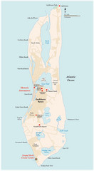
Grand Turk Island Map
Overview map of Grand Turk island, Turks and Caicos. Home of Cockburn Town, capital of Turks and...
680 miles away
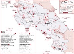
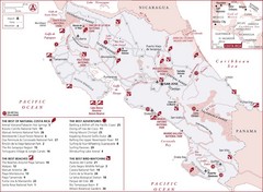
Costa Rica Tourist Map
Tourist map of Costa Rica showing the best parks, beaches, adventures and bird watching.
680 miles away
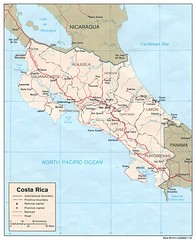
Costa Rica Tourist Map
681 miles away
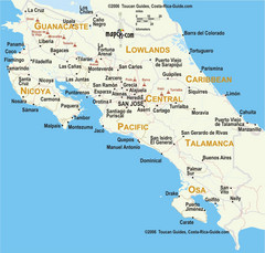
Costa Rica Map
681 miles away
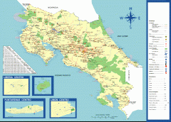
Costa Rica overview map
Map of all of Costa Rica (in Spanish). Shows major roads, cities/towns, parks, volcanoes, airports...
681 miles away

Puerto Viejo to Manzanillo Map
681 miles away
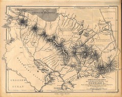
1861 Costa Rica Map
Guide to Costa Rica in unique blend of German and Spanish languages
682 miles away
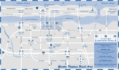
Dayton Beach Map
Map of greater Dayton Beach area
683 miles away

MOAS Museum Map
684 miles away
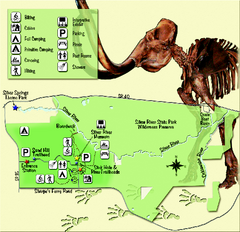
Silver River State Park Map
Map of park with detail of trails and recreation zones
685 miles away
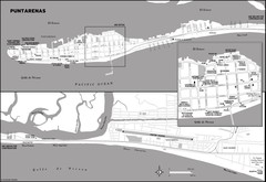
Puntarenas Costa Rica Map
685 miles away
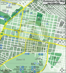
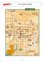
Guatemala City Tourist Map
687 miles away
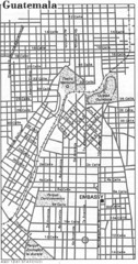
Guatemala City, Guatemala Tourist Map
687 miles away
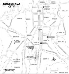
Guatemala City Tourist Map
Places of interest.
687 miles away
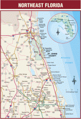
Northeast Florida Road map
A complete road map of the Northeast section of the state of Florida.
691 miles away
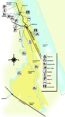
Tomoka State Park Map
Map of park with detail of recreation zones
693 miles away
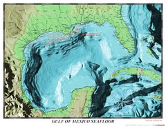
Gulf of Mexico sea floor Map
693 miles away
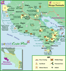
Nicoya Penninsula Tourist Map
699 miles away
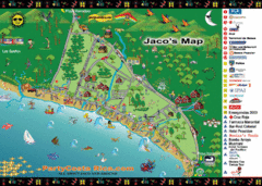
Jaco Tourist Map
704 miles away
67.php. Map
710 miles away
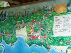
Montezuma Tourist Map
Tourist map of Montezuma, Costa Rica. Shows accomodations and other points of interest. From...
712 miles away
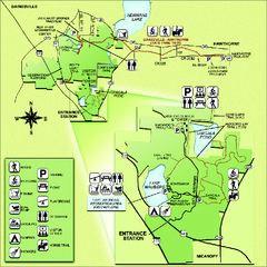
Paynes Prairie State Preserve Map
Map of preserve with detail of trails and recreation zones
712 miles away
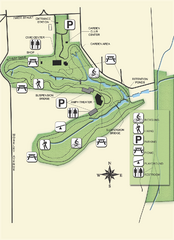
Ravine Gardens State Park Map
Map of park with detail of trails and recreation zones
714 miles away

University of Florida Map
717 miles away
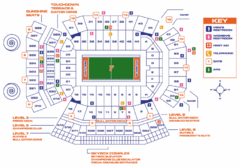
Ben Hill Griffin Stadium Map
Clear map and legend of this stadium.
717 miles away
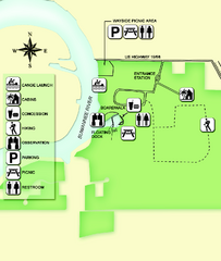
Fanning Springs State Park Map
Map of park with detail of trails and recreation zones
717 miles away

