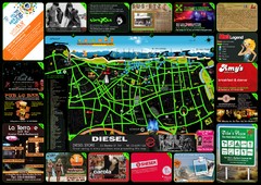
Tel Aviv Hot Map
84 miles away
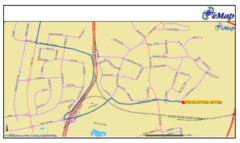
Tel Aviv Railway Map
The rail system in Tel Aviv, Israel
84 miles away
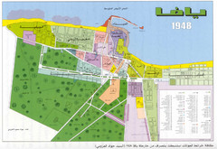
Detailed Map Of Jaffa Before Nakba
Map of Jaffa district and neighboring villages. Note: Map is not in English
85 miles away
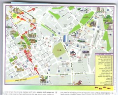
Beersheba City Map
Pictorial map of Beersheba with attractions and walking trail
86 miles away
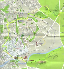
Beersheba City Map
Pictorial map of Beersheba
86 miles away
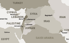
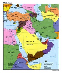
Middle East - North Map
Map of the northern section of the Middle East Countries. Countries ad capitals identified.
88 miles away
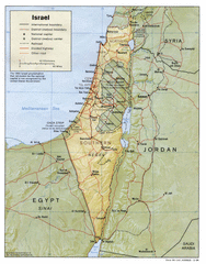
Israel Map
Israel map showing cities, boundaries, railways, mountains.
90 miles away
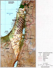
Israel Map
Map of Isreal and Surrounding areas from "Atlas of the Middle East", published in January...
90 miles away
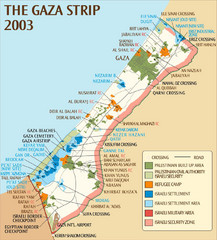
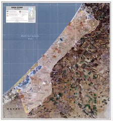
Gaza Strip Map
Map of area with detail of settlements and divisions
93 miles away
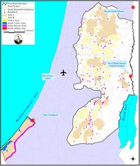
Israel Military Map
Map that describes military activities including check points, security zones, and road blocks.
94 miles away
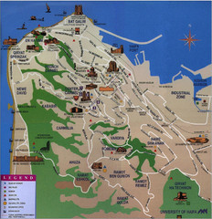
Haifa Tourist Map
Tourist map of Haifa, Israel
98 miles away
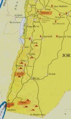
Southern Jordan tourist Map
103 miles away
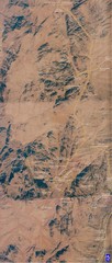
Petra Tourist Map
Ancient city of Petra, Jordan, carved out of stone
105 miles away
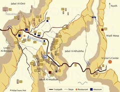
Petra and monuments Map
105 miles away
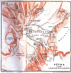
Petra Map
105 miles away
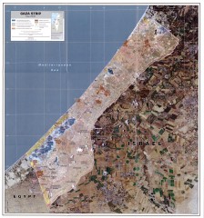
Gaza Strip Map
Shows various boundaries as of 2005
106 miles away
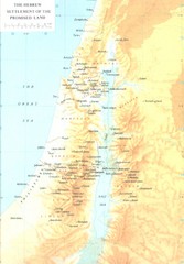
Promised Land Hebrew Settlement Map
Shows division of promised land to twelve tribes of Israel
110 miles away
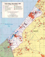
Maps Gaza5 Map
Palestine Maps - Palestine - Home of
112 miles away
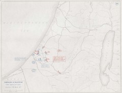
First Battle of Gaza Map 1917
WWI Palestine Front 3/26/1917
112 miles away
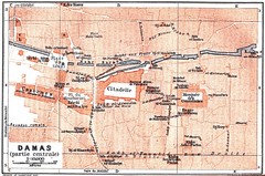
Damascus 1912 Map
Damascus Map from 1912 showing tourist attractions and roads
124 miles away
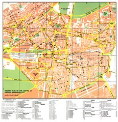
Damascus City Tourist Map
Tourist map of the center of Damascus, Syria.
124 miles away
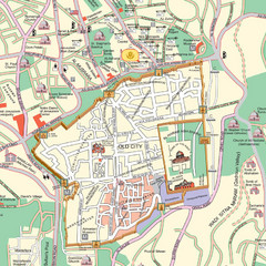
Damascus Tourist map
124 miles away
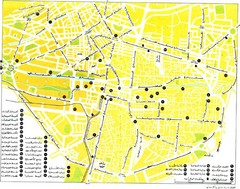
Damascus Tourist map
124 miles away
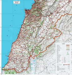
Southern Lebanon Map
Map of southern Lebanon. Shows roads, ruins, and other information.
139 miles away
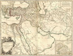
Ancient Empire of Alexander Map
Ancient Empire of Alexander the Great. Map by Didier Robert de Vaugondy, 1753, Yale University...
140 miles away
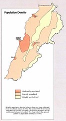
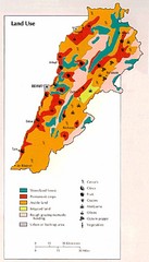
Lebanon Population Density Map
Map of Lebanon's population density
148 miles away
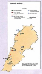
Lebanon Economic Activity Map
Map of Lebanon's economic activity
148 miles away
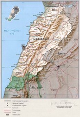
Lebanon Country Map
148 miles away
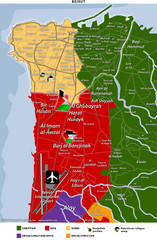
Beirut Relgions Divides Map
Map of Beirut with detail of various religious divisions based on districts
152 miles away
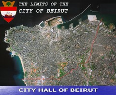
Beruit City Limits Map
Aerial map of city of Beruit, Lebanon showing city limits
154 miles away
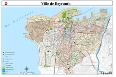
Beirut Map
Map of Beirut, Lebanon. In French.
154 miles away
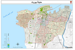
Beirut Tourist Map
154 miles away
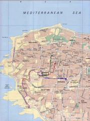
Beirut Tourist Map
154 miles away
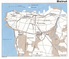
Beirut Tourist Map
154 miles away
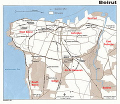
Beirut Tourist Map
154 miles away


