Auckland Island Map
0 miles away

Auckland Island Map
4 miles away
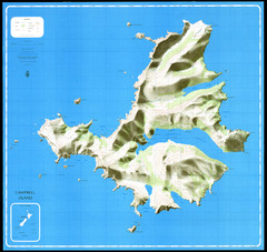
Campbell Island Map
186 miles away
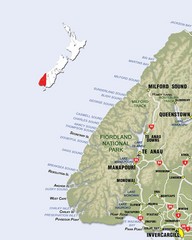
Fiordland Map
Map of Fiorland National Park region
363 miles away
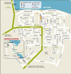
Te Anau Street Map
368 miles away
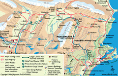
Otago Central Map
Otago map with detail of regional towns, rail station stops, and highways
388 miles away
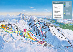
The Remarkables Ski Trail Map
Trail map from The Remarkables.
399 miles away
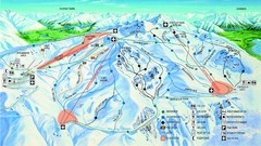
Cardrona Trail Map
403 miles away
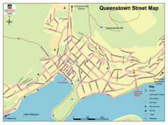
Queenstown Map
Street map of Queenstown
404 miles away
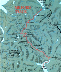
Milford Track Map
Map of Milford Track walking trail
408 miles away
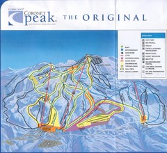
Coronet Peak Ski Trail Map
Trail map from Coronet Peak.
412 miles away
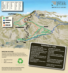
Coronet Peak Mountain Bike Trail Map
Mountain biking trail map for Coronet Peak
412 miles away
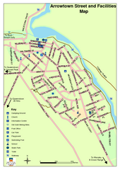
Arrowtown Street Map
413 miles away
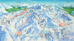
Cardrona Ski Trail Map
Trail map from Cardrona.
419 miles away
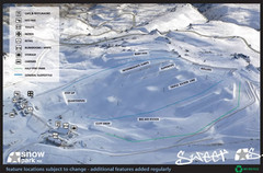
Snow Park Ski Trail Map
Trail map from Snow Park.
420 miles away
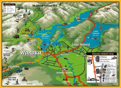
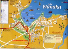
Wanaka Area Tourist Map
433 miles away
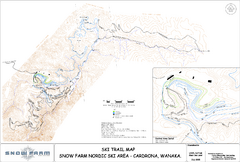
Snowfarm Nordic Ski Trail Map
Trail map from Snowfarm.
433 miles away
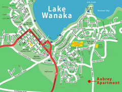
Wanaka Town Map
Street map of town of Wanaka
433 miles away
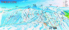
Treble Cone Trail Map
Ski trail map of Treble Cone mountain
434 miles away
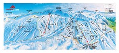
Treble Cone Trail Map
Ski trails on Treble Cone Mountain
434 miles away
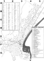
Oamaru Tourist Map
Tourist map of Oamaru, New Zealand. Has street index and shows points of interest.
443 miles away
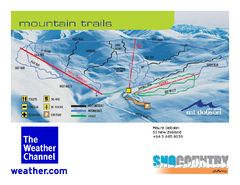
Mount Dobson Trail Map
Ski trail map or Mt. Dobson
494 miles away
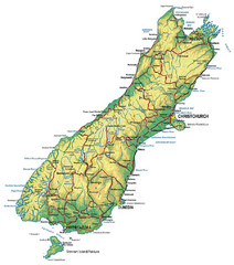
South Island Map
Map of South Island with cities detailed
496 miles away
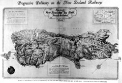
South Island New Zealand Rail Map
Contour map of the South Island, 1929
496 miles away
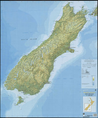
South Island New Zealand Map
Elevation map of South Island, New Zealand
496 miles away
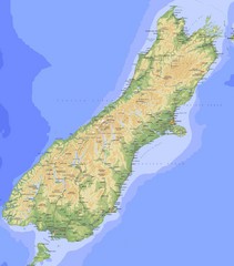
South Island Map
Physical map of South Island, New Zealand
496 miles away
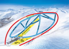
Roundhill Ski Trail Map
Trail map from Roundhill.
501 miles away
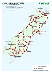
South Island State Highway Map
Map of state highway system throughout the South Island
507 miles away
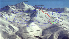
Fox Peak Ski Trail Map
Trail map from Fox Peak.
518 miles away
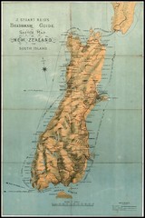
1880 New Zealand Map
519 miles away
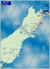
South Island Rail Map
Rail map of transit system throughout the South Island
521 miles away
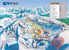
Mt. Hutt Ski Trail Map
Trail map from Mt. Hutt.
555 miles away
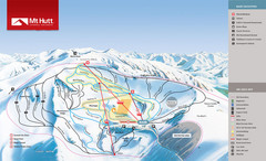
Mount Hutt Trail Map
Ski trail map for Mt. Hutt
555 miles away
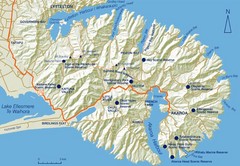
Banks Peninsula Map
Map of Banks Peninsula, with detail of bays and reserves
573 miles away
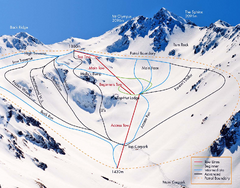
Mount Olympus Trail Map
Ski trail map of Mt. Olympus
576 miles away
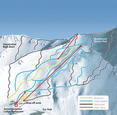
Mt. Cheeseman Ski Trail Map
Trail map from Mt. Cheeseman.
577 miles away
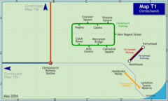
Christchurch Rail Map
Rail map of Christchurch local tramway system
578 miles away
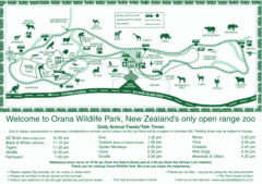
Orana Wildlife Park Map
578 miles away
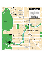
Christchurch Street Map
Street map of Christchurch
578 miles away

