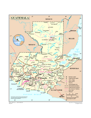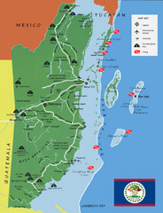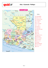
Guatemala Regional Map
Country map with detail of regional divides
443 miles away
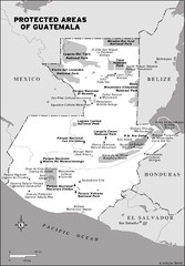
Protected areas of Guatemala Map
443 miles away

Turneffe Islands atoll Map
446 miles away
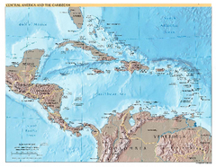
Central America and Caribbean Map
Map of Central America and Caribbean
447 miles away
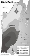
Belize rainfall Map
453 miles away
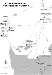
Belmopan and the Hummingbird highway Map
454 miles away
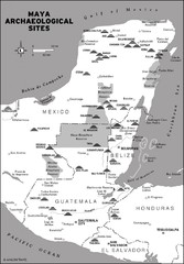
Mayan Archaeological sites in Belize Map
454 miles away
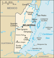
Belize Peaks and Rivers Map
456 miles away
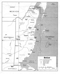
Belize (Political) U.S. Department of State 1990...
456 miles away
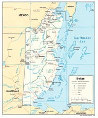
Belize Tourist Map
456 miles away
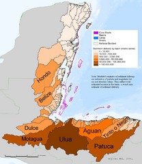
Annual Sediment Delivery from MAR Watersheds Map
This map shows which basins (or watersheds) deliver the most sediment on an annual basis to the...
456 miles away
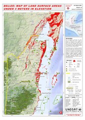
Belize Land Surface Areas Under 4 Meters Map
This map shows elevation areas in Belize under 4 meters in Red. This was the limit for the storm...
456 miles away
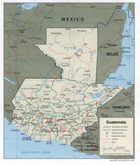
Guatemala Tourist Map
457 miles away

Guatemala Cities and Town Topo Map
Topography map of cities and towns in Guatemal by Center for Integration of Natural Disaster...
457 miles away
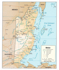
Belize Guide Map
459 miles away
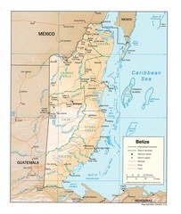
Belize Map
Map of Belize showing cities, rivers and district boundaries.
461 miles away
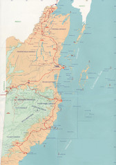
Belize Map
464 miles away
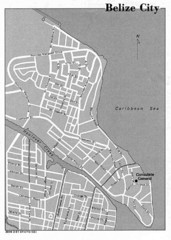
Belize City - U.S. Department of State, 1981 Map
464 miles away
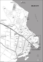
Belize City map
Detailed map of the Belize City road system.
465 miles away
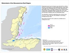
Watersheds of the Mesoamerican Reef Region Map
Map of watersheds or basins on map without elevation data
465 miles away
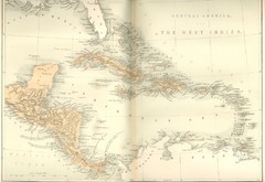
Central America and the West Indies Map
Historical Map of Central America and the West Indies Map
465 miles away
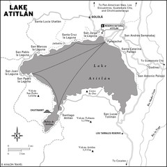
Lake Atitlan Map
469 miles away
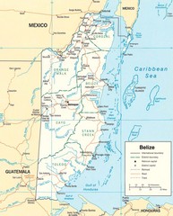
Belize Map
Detailed map of Belize showing cities, roads, railroads and boundaries.
476 miles away
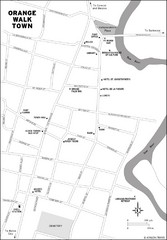
Orange Walk Town Map
View This Map
479 miles away

San Pedro Tourist Map
Tourist map of town of San Pedro on island of Ambergris Caye, Belize
484 miles away
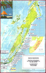
Ambergris Caye Tourist Map
Tourist map of island of Ambergris Caye, Belize. Inset shows town of San Pedro.
491 miles away
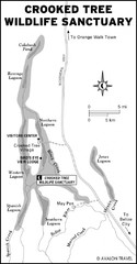
Crooked Tree Wildlife Sanctuary Map
492 miles away
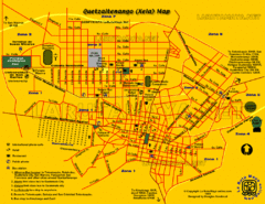
Quetzaltenango City Map
Large and detailed map.
494 miles away
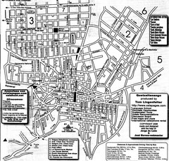
Quetzaltenango Street Map
Street map of Quetzaltenango, Guatemala
494 miles away
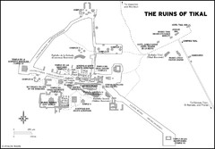
Tikal ruins Map
500 miles away
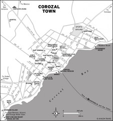
Corozal Town Map
526 miles away
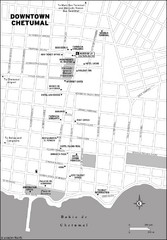
Downtown Chetumal Map
530 miles away
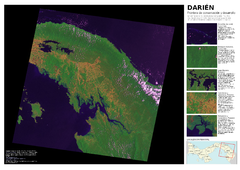
Darién: Frontera de conservación y...
Mapa de Darién: cobertura y uso de suelo 2004.
539 miles away
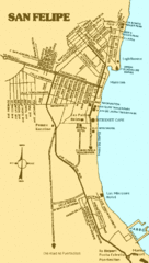
San Felipe, Mexico Beach Tourist Map
551 miles away
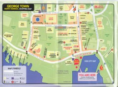
Georgetown Grand Cayman Shopping map
Shopping map of Georgetown, Grand Cayman Island. Georgetown is the capital of the Cayman Islands.
590 miles away
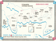
Eden Rock Underwater Reef Map
Underwater diving map of Eden Rock Reef in Grand Cayman
591 miles away

Cayman Resort Map
592 miles away
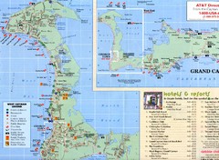
West Cayman Map
592 miles away

