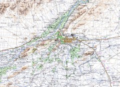
Kandahar Area Topo Map
Topo map of Kandahar, Afghanistan.
713 miles away
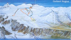
Gudauri Ski Trail Map
Trail map from Gudauri, which provides downhill skiing. It has 5 lifts. This ski area has its own...
718 miles away
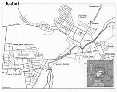
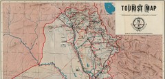
Kabul, Afghanistan Tourist Map
722 miles away

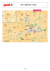
Kabul City Map
City map of Kabul, Afghanistan. Neighborhoods are shaded. Shows points of interest, restaurants...
723 miles away
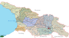
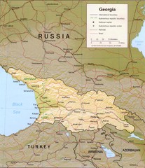
Georgia Country Map
Administrative map of country of Georgia
738 miles away
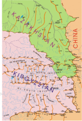
Kyrgyzstan and Central Asia Physical and...
Khan Tengri area maps
739 miles away
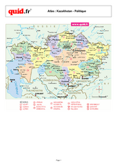
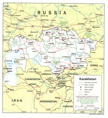
Kazakhstan Regional Map
Country map with detail of regional divides
739 miles away
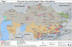
Kazakhstan Protected Areas Map
Shows protected regions and ecological values of Kazakhstan
739 miles away
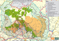
Tskhinvali Conflict Area Map
This map marks Georgian and Russian battalion points and populations during the 1999-2001 conflicts.
741 miles away
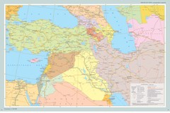
Near East Map
Map of the Near East and the Caucasus
745 miles away
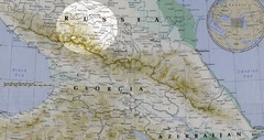
Partial Caucasus Region Map
Russia, Georgia and Azerbaijan detail map highlighting the Elbrus mountain region. Map shows roads...
751 miles away
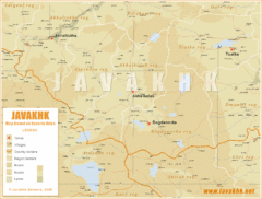
Samtskhe-Javakheti Province Map
Southeast Georgia
754 miles away
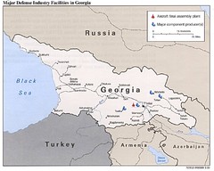
Georgia Defense Facilities Map
Map of major defense industry facilities throughout Georgia
760 miles away
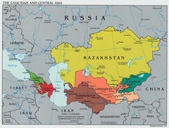
Caucasus and Central Asia Politcal Map
761 miles away
![AFG Afghanistan_pop72[1] Map AFG Afghanistan_pop72[1] Map](/maps/AFG-Afghanistanpop721-Map.thumb.jpg)
AFG Afghanistan_pop72[1] Map
762 miles away
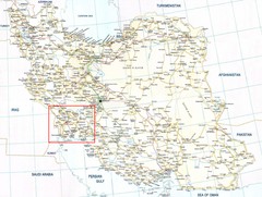
The Bakhtiari Nomads Kuch in Iran Map
Map of Iran which highlight the area of the Bakhtiari Nomads migration.
766 miles away
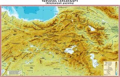
Armenian Highland Map
Map of the Armenian Haghland
770 miles away
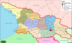
Georgia Administrative Map
Administrative map of the country of Georgia.
773 miles away
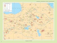
Armenian Highland Major Earthquakes Map
Map of the Major Earthquakes on the Armenian Highland
776 miles away

Afg Topographic Map
795 miles away
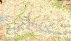
Central Caucasus Map
Overview map of the central Caucasus mountains from Mt. Elbrus east in Russia and Georgia. In...
798 miles away
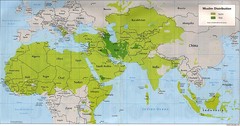
Muslim Distribution Map
Map of Muslim distribution throughout Africa and Asia
806 miles away
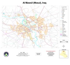
Mosul Overview Map
Shows points of interest and major roads in Mosul, Iraq area (Al Mawsil)
827 miles away
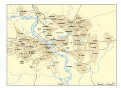
Mosul Area Map
City map of Mosul, Iraq area on the Tigris River with neighborhoods.
827 miles away
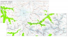
Mount Elbrus Caucasus Region Topo Map
Topographical map of Mount Elbrus and the surround Caucasus Mountains. Mount Elbrus is the highest...
830 miles away

Harmanli Tourist Map
Central Harmanli in Bulgaria
831 miles away
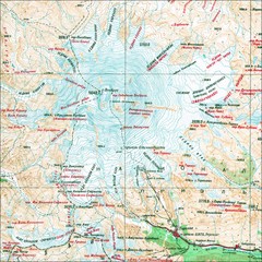
Mt. Elbrus Geographical Map
833 miles away
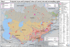
Central Asia Protected Areas Map
UNEP map of protected areas and ecological values in Central Asia and surrounding region.
834 miles away
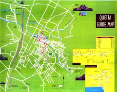
Quetta City Map
City map of Quetta, Pakistan. Shows major streets.
835 miles away
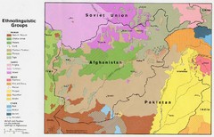
AFG afghanistan & environs ethnolinguistic...
843 miles away
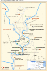
19th Century Bitlis Map
Historical map of Bitlis at the conclusion of the 19th century
844 miles away
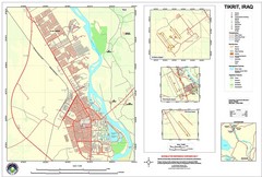
Tikrit, Iraq Map
848 miles away
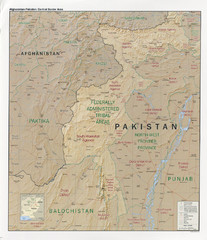
Afghanistan-Pakistan Central Border Area Map
Shows border regions of Pakistan-Afghanistan.
853 miles away
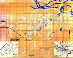
Peshawar City Map
City map of Peshawar, Pakistan
856 miles away
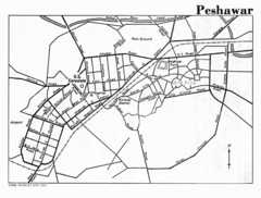
Peshawar Map
Guide to Peshawar, Pakistan
856 miles away
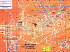
Peshawar City Map
City map of Peshawar, Pakistan. Scanned.
856 miles away

