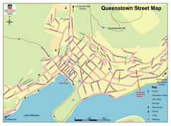
Queenstown Map
Street map of Queenstown
1957 miles away
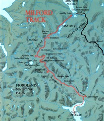
Milford Track Map
Map of Milford Track walking trail
1958 miles away
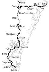
Family Histories in New South Wales Map
Treasure hunt a walker's comapnion's family hisotry around New South Wales. Experience...
1959 miles away
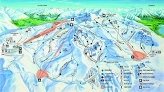
Cardrona Trail Map
1959 miles away
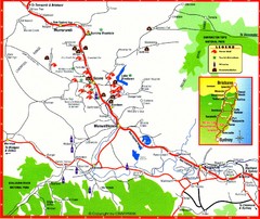
Upper Hunter Valley Tourist Map
Tourist map of Upper Hunter Valley around Muswellbrook, NSW, Australia. Shows horse studs, tourist...
1961 miles away
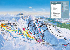
The Remarkables Ski Trail Map
Trail map from The Remarkables.
1962 miles away
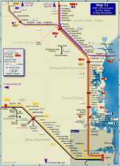
Hunter Valley Rail Map
Map of rail system throughout Hunter Valley, New South Wales Central Coast, and Blue Mountains
1962 miles away
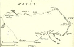
Wotje atoll Map
1963 miles away
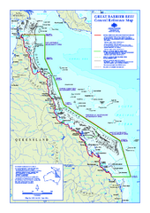
Great Barrier Reef Marine Park map
Official Great Barrier Reef Marine Park Authority general reference map of the Great Barrier Reef...
1968 miles away
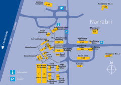
The University of Sydney, Narrabri Campus Map
1972 miles away
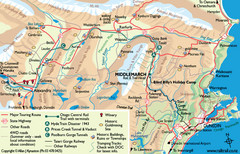
Otago Central Map
Otago map with detail of regional towns, rail station stops, and highways
1979 miles away
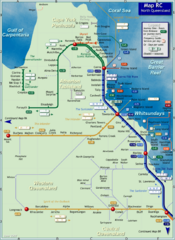
Northern Queensland Rail Map
Map of long-distance rail system throughout Northern Queensland
1980 miles away
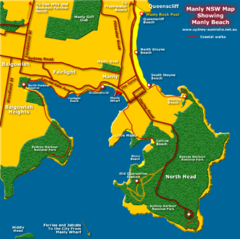
Manly Beach Map
1986 miles away
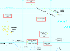
US Minor Outlying Islands Map
Shows all islands included in the United States Minor Outlying Islands designation.
1986 miles away
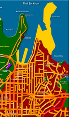
Sydney City Map
City map of Sydney: Kings Cross to Central
1991 miles away
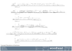
Woodhead Community Lifestyle Map
Elevation sections of the Blue Dolphin Joint Venture in North Sydney
1991 miles away
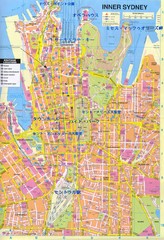
Sydney (in Japanese) Map
1992 miles away
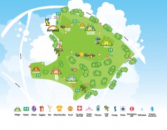
Good Vibrations Festival Sydney Feb 17, 2007 Map
Event map of the Good Vibrations Music Festival in Sydney, Australia. Shows multiple stage...
1992 miles away
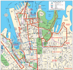
Sydney City Map
City Map of Sydney with tourist information
1992 miles away
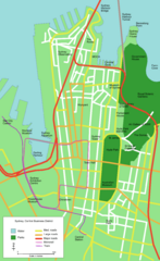
Sydney Central Business District Map
1992 miles away
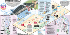
Sydney Harbour Bridge 75th Anniversary Walk Map
Map of Harbour Bridge 75th Anniversary Walk held on March 18, 2007
1992 miles away
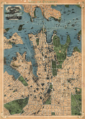
Robinson’s map of Sydney, Australia (1922)
Fun-looking and quite expertly-rendered overhead map of Australia's most populous city: Sydney...
1992 miles away
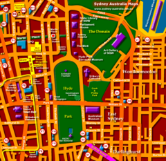
South Sydney Hotel Map
1992 miles away
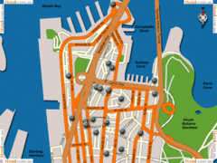
Sydney Hotel Map
1992 miles away
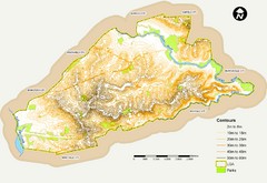
Canterbury Contour Map
The above map, which has lines marked to indicate points or areas that are the same elevation above...
1992 miles away
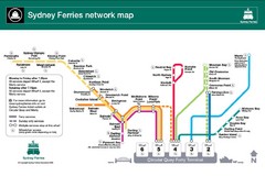
Sydney Ferries Map
Map of Sydney Ferry system with details of lines and stops
1992 miles away
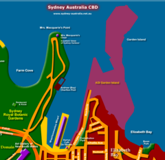
Sydney, Australia Beach Map
1992 miles away
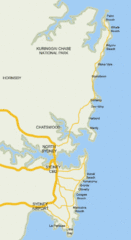
Sydney, Australia Beach Map
1992 miles away
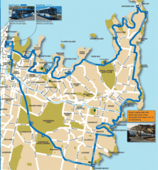
Sydney Bus Tour Map
1992 miles away
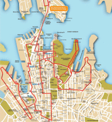
Sydney Bus Tour Map
1992 miles away

Sydney Bike Map
1992 miles away
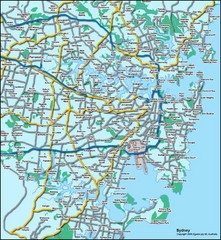
Sydney, Australia Tourist Map
1992 miles away
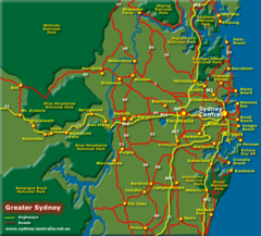
Greater Sydney, Australia Tourist Map
1992 miles away
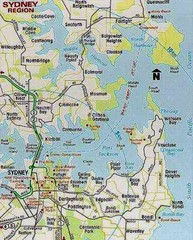
Sydney, Australia Region Tourist Map
1992 miles away
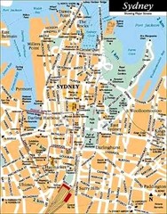
Sydney, Australia Tourist Map
1992 miles away
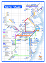
Sydney City Rail Network Map
Rail network map of Sydney, Australia.
1992 miles away
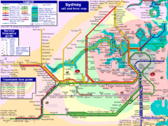
Sydney Rail and Ferry Map
Map of Sydney rail and ferry transit system
1992 miles away
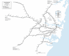
Sydney Railway Map
Sydney railway.
1993 miles away
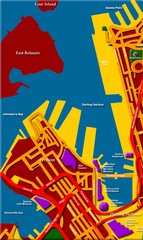
Darling Harbour Map
Map of Darling Harbour in Sydney.
1993 miles away

