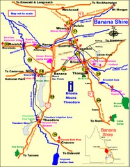
Banana Shire Tourist Map
Tourist map of Banana Shire region of Australia. Includes Biloela and Banana, Australia
1839 miles away
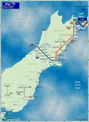
South Island Rail Map
Rail map of transit system throughout the South Island
1841 miles away
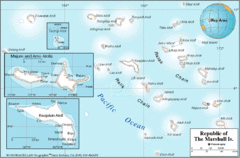
Marshall Islands Map
1847 miles away
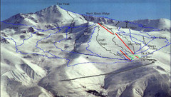
Fox Peak Ski Trail Map
Trail map from Fox Peak.
1847 miles away
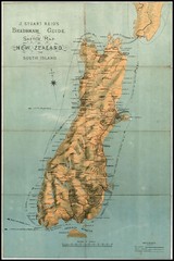
1880 New Zealand Map
1847 miles away
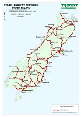
South Island State Highway Map
Map of state highway system throughout the South Island
1858 miles away
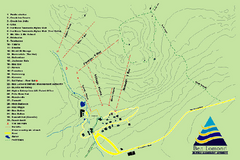
Ben Lomond Ski Trail Map
Trail map from Ben Lomond.
1860 miles away
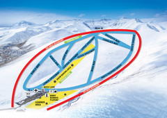
Roundhill Ski Trail Map
Trail map from Roundhill.
1863 miles away
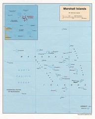
Marshall Islands Map
Guide to the island country of Marshall Islands
1864 miles away
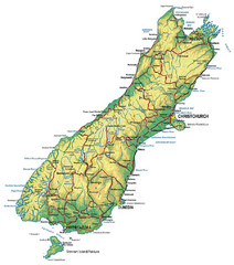
South Island Map
Map of South Island with cities detailed
1865 miles away
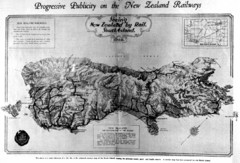
South Island New Zealand Rail Map
Contour map of the South Island, 1929
1865 miles away
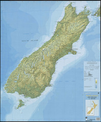
South Island New Zealand Map
Elevation map of South Island, New Zealand
1865 miles away
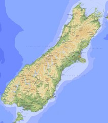
South Island Map
Physical map of South Island, New Zealand
1865 miles away
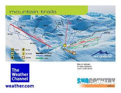
Mount Dobson Trail Map
Ski trail map or Mt. Dobson
1867 miles away
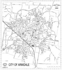
City Of Armidale Map
Large road map clearly marking streets throughout this wonderful city.
1873 miles away

Maleolap and Aur atoll Map
1879 miles away
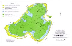
Kosrae Island Soil Map
General soil map of Kosrae Island
1902 miles away
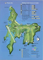
Hamilton Island Tourist Map
1903 miles away
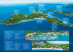
Hamilton Island, Australia Map
1904 miles away
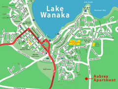
Wanaka Town Map
Street map of town of Wanaka
1928 miles away
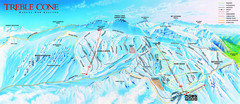
Treble Cone Trail Map
Ski trail map of Treble Cone mountain
1928 miles away
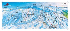
Treble Cone Trail Map
Ski trails on Treble Cone Mountain
1928 miles away
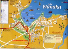
Wakana Town Map
Street map of Wanaka
1928 miles away
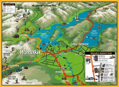
Wanaka Area Tourist Map
1928 miles away
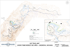
Snowfarm Nordic Ski Trail Map
Trail map from Snowfarm.
1928 miles away
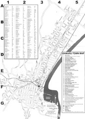
Oamaru Tourist Map
Tourist map of Oamaru, New Zealand. Has street index and shows points of interest.
1929 miles away
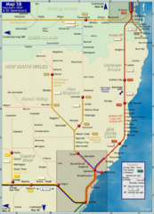
Northern New South Wales Map
Map of long-distance rail system throughout New South Wales and South East Queensland
1932 miles away
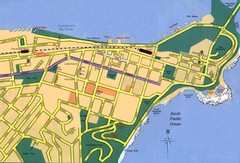
Newcastle City Map
City map of Newcastle
1933 miles away
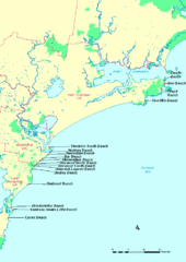
Hunter Ocean, Australia Beach Tourist Map
1933 miles away
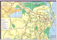
Newcastle Map
1934 miles away
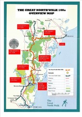
Great North Walk 100s Overview Map
Trail map for the Great North Walk 100's with distances and checkpoints marked
1940 miles away
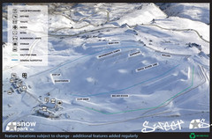
Snow Park Ski Trail Map
Trail map from Snow Park.
1941 miles away

The Great North Walk Trail Map
The Great North Walk connects New South Wales’ two largest cities from the obelisk in...
1942 miles away
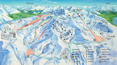
Cardrona Ski Trail Map
Trail map from Cardrona.
1942 miles away
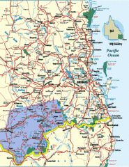
South East Queensland Map
A detailed map of the South East portion of Queensland, Australia, including Brisbane.
1942 miles away
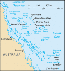
Coral Sea Islands Tourist Map
1946 miles away
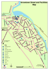
Arrowtown Street Map
1948 miles away
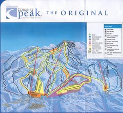
Coronet Peak Ski Trail Map
Trail map from Coronet Peak.
1949 miles away
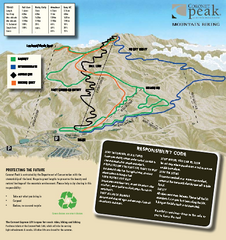
Coronet Peak Mountain Bike Trail Map
Mountain biking trail map for Coronet Peak
1949 miles away
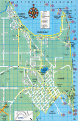
Bowen Map
Tourist street map
1950 miles away

