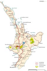
North Island Road Map
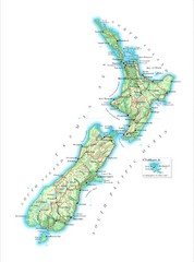
Road map of North Island, New Zealand. National Park Village highlighted.
1413 miles away

Nauru Map
Guide to Nauru, the world's smallest island nation
1413 miles away
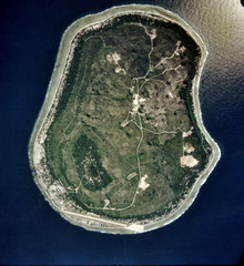
Nauru Satellite Map
Satellite photo map of island of Nauru
1413 miles away
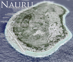
Nauru Tourist Map
Tourist map of island nation of Nauru, the smallest island nation in the world and the 3rd smallest...
1414 miles away

Nauru Region Map
Guide to Nauru, the world's smallest island nation
1414 miles away

Nauru tourist Map
1414 miles away

Nauru Map
1414 miles away

Nauru island Map
1414 miles away
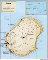
Nauru Island Tourist Map
1414 miles away

Nauru physical Map
1414 miles away
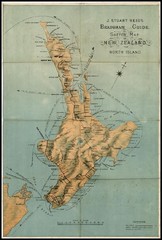
1880 New Zealand North Island Map
1419 miles away
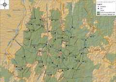
Northern Te Urewera National Park Map
Trail map of northern Te Urewera National Park. Shows trails, huts, and campsites.
1419 miles away
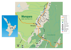
Murupara Map
Map of Murupara with detail of camping locations
1428 miles away
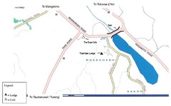
Whakamaru New Zealand Map
Map of Whakamaru, New Zealand showing a local hotel and restaurant.
1430 miles away
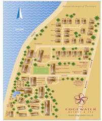
Edgewater Resort, Rarotonga, Cook Is Map
1463 miles away
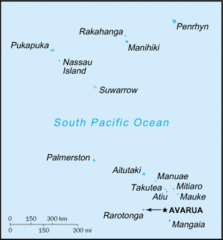
Cook Islands Tourist map
1467 miles away
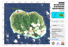
Rarotonga Island Map
Reference map of Rarotonga Island. In French.
1467 miles away
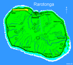
Rarotonga Island Map
Clear map marking rivers and towns.
1467 miles away
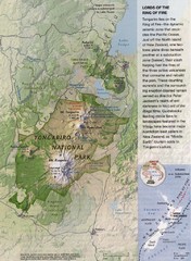
Tongariro National Park Map
1479 miles away
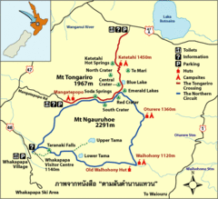
Tongariro National Park Map
1484 miles away
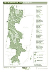
Pukekura Park Map
1487 miles away
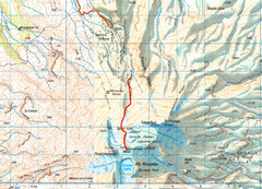
Mt Ruapehu Topo Route Map
Topo map with route to summit of Mt Ruapehu, New Zealand's North Island's highest...
1490 miles away
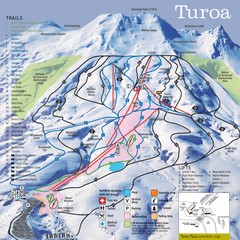
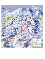
Turoa Ski Trail Map
Ski trail map
1491 miles away

Tukino Ski Trail Map
Trail map from Tukino.
1491 miles away
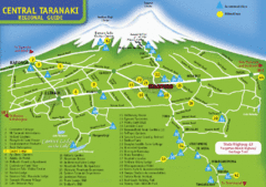
Central Taranaki Map
Regional guide to Central Taranaki
1501 miles away
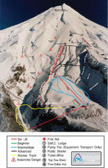
Manganui Ski Trail Map
Ski trail map for Manganui Mountain
1503 miles away
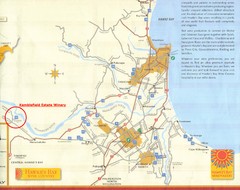
Hawkes Bay Wine Country Map
Tourist map of Hawkes Bay Wine Country near Hastings, New Zealand
1507 miles away
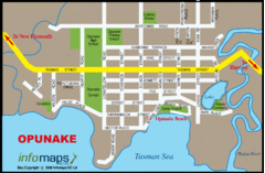
Opunake Tourist Map
1516 miles away
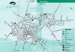
Hawera Town Map
1521 miles away
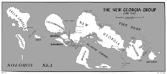
New Georgia Islands Map
1541 miles away
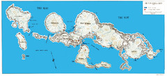
New Georgia Group War Map
Shows Allied landings 1943
1546 miles away
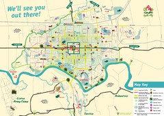
Palmerston North Cycling Guide Map
Cycling and Pedestrian Guide to Palmerston North
1564 miles away
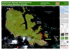
Ghizo Island Damage Map
Solomon Islands: Preliminary Damage Assessment for Ghizo Island (as of 8 Apr 2007)
1578 miles away
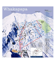
Whakapapa Ski Trail Map
Trail map from Whakapapa.
1596 miles away
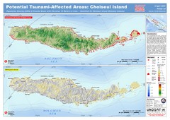
Tunami Affected Areas of Choiseul Island Map
The map illustrates the areas 10m and below potentially affected by the tsunami on the coast of...
1603 miles away
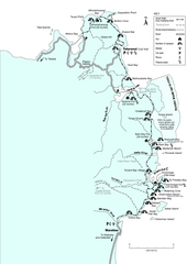
Abel Tasman Coastal Track Map
Trail map of the Abel Tasman Coastal Track
1618 miles away

