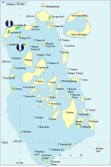
Taka Bonerate Map
The Bonerate National Park is home to the third biggest atoll in the world after Kwajifein in the...
3933 miles away
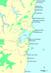
Illawarra, Australia Beach Tourist Map
3949 miles away
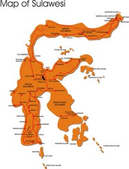
Sulawesi Overview Map
Overview map of island of Sulawesi, Indonesia. Shows major towns and airports.
3952 miles away
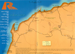
Karratha Road Map
Road Map shows all roads around Karratha, and the distances in Kilometers to other towns.
3956 miles away
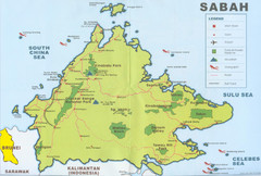
Sabah Map
Location Map of National Parks of Sabah, South Asia. Includes towns, roads, parks, mountains, and...
3960 miles away
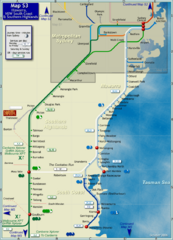
Illawarra Rail Map
Map of rail system throughout Illawarra, New South Wales South Coast, and Southern Highlands
3961 miles away
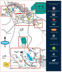
Whiteman Park Map
3962 miles away
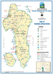
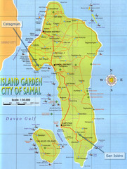
Island Garden City of Samal Tourist Map
Places of interest.
3964 miles away
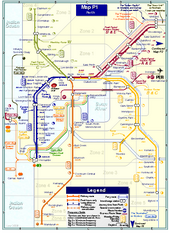
Perth Rail Map
Map of rail system throughout Perth and surrounding area
3966 miles away
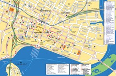
Perth Street Map
Tourist map of Perth, with detail of streets, hotels and tourist attractions
3966 miles away
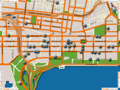
Perth Hotel Map
3966 miles away
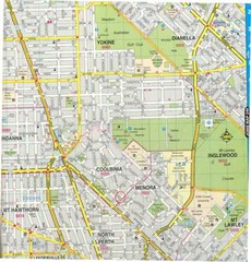
Central Perth, Australia City Map
3966 miles away
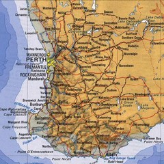
Perth, Australia Region and City Map
3966 miles away
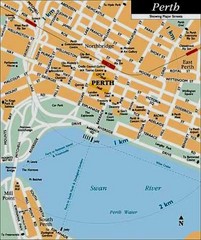
Perth, Australia City Map
3966 miles away
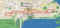
Perth, Australia Public Transportation Map
3966 miles away
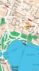
Central Perth, Australia City Map
3966 miles away
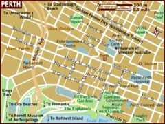
Perth, Australia City Map
3966 miles away
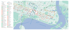
Perth City Map
City map of Perth with information and attractions
3967 miles away
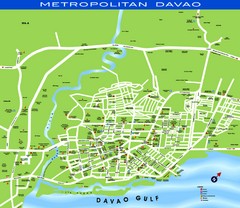
Davao Tourist Map
Tourist map of city of Davao, Phillipines
3969 miles away
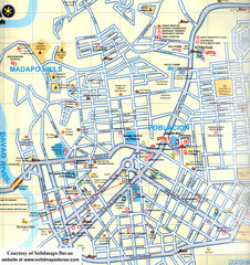
Davao City Map
Tourist street map of Davao City
3970 miles away
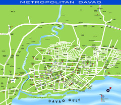
Davao City Map
3971 miles away
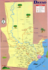
Davao Tourist Map
3980 miles away
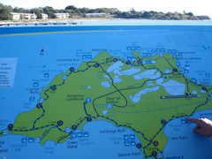
Rottnest Island Map
Tourist map of Rottnest Island, Australia. From photo.
3987 miles away
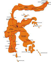
Sulawesi Island Map
Tourist map of island of Sulawesi, Indonesia.
4027 miles away
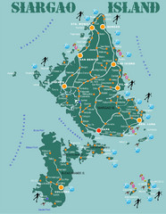
Siargao Island Diving Map
Diving map of Siargao Island and Bucas Grande Island. Shows diving spots and coral reefs.
4028 miles away
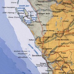
Geraldton, Australia Region Map
4052 miles away

Surigao Tourist Map
Tourist map of Surigao City , Philippines. Shows hotels, other accommodations, and restaurants.
4063 miles away
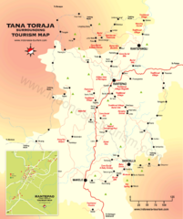
Tana Toraja Tourist Map
Tana Toraja tourist map with inset of Rantepao, Indonesia
4066 miles away
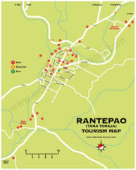
Rantepao Tourism Map
Tourist map of Rantepao, Indonesia. Shows hotels, restaurants, and banks.
4066 miles away
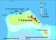
Kapoposang Map
Kapoposang National Marine Park may not be as well-known as other celebrated diving resorts, like...
4090 miles away
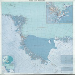
Ross Sea Regions Map
Physical relief map of the Ross Sea regions. Shows Victoria Land, Ross Sea, McMurdo Sound, Ross Ice...
4121 miles away
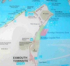
Exmouth, Australia Beach Map
4131 miles away
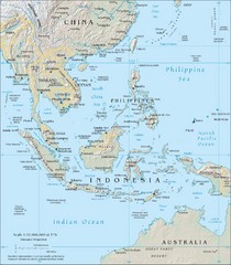
Southeast Asia Map
4133 miles away
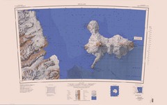
Ross Island Topo Map
Topo map of Ross Island, Antarctica. Shows US Mcmurdo Station, New Zealand Scott Base and volcanic...
4139 miles away
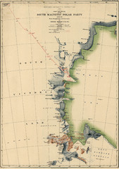
Map of Shackleton’s 1907-1909 Antarctic...
Eric Stewart Marshall's map of Shackleton's "Nimrod" expedition of 1907-09.
4140 miles away
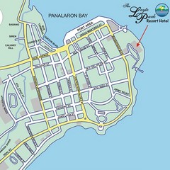
Tacloban CIty Map
This map clearly marks the road system of Tacloban.
4140 miles away
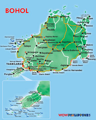
Bohol Island Tourist Map
4144 miles away
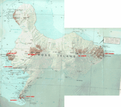
Ross Island Map
Topo map of Ross Island, home of the US McMurdo Station, Mt. Erebus, Mt. Terror, Cape Evans, Cape...
4150 miles away
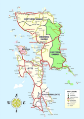
Samar Island Tourist Map
4155 miles away

