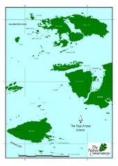
Raja Ampat Islands Map
3432 miles away
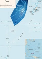
Palau Political Map
Guide to the island nation of Palau
3439 miles away
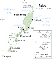
Palau Map
Guide to the country of Palau, the world's youngest and smallest sovereign state, previously...
3439 miles away

Palau airport vicinity Map
3441 miles away
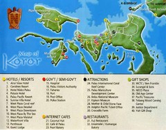
Koror Island Tourist Map
Tourist map of Koror island of Palau
3444 miles away

Palau Koror island Map
3444 miles away
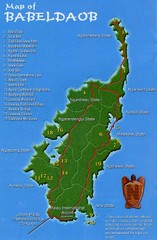
Babeldoab Map
Map of Babeldoab island of the Palau Islands
3444 miles away
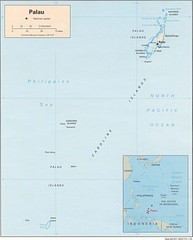
Palau Islands Map
3444 miles away

Palau Peleliu island Map
3446 miles away
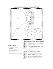
Color it yourself map of Marianas Trench
3448 miles away

Anguar island Map
3449 miles away
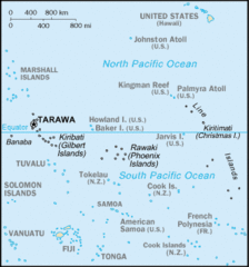
Kiribati Islands Map
3457 miles away
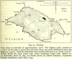
Historic Pitcairn Islands Map
Guide to Pitcairn Islands, a British overseas territory
3474 miles away
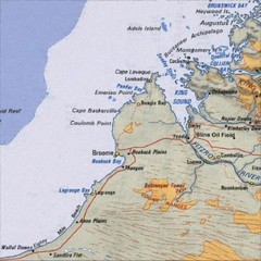
Central Western Australia Region Map
3480 miles away
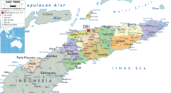
East Timor political Map
3520 miles away
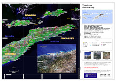
Timor-Leste map
3542 miles away
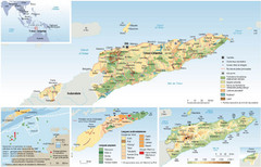
East Timor Map
Four part map shows biomes, offshore Kelp oil deposits, languages, and topology of East Timor
3547 miles away
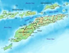
East Timor Map
3560 miles away
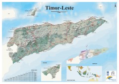
East Timor Relief Map
Shaded relief map of East Timor. Inset map shows location in Southeast Asia. Additional inset...
3560 miles away
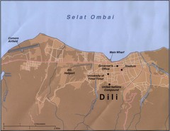
Dili Map
3576 miles away
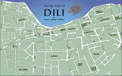
Dili Street Map
Street map of Dili, the capital of East Timor
3576 miles away
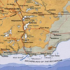
Esperance, Australia Tourist Map
A map of the Esperance region in Australia.
3618 miles away
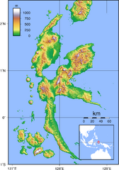
Halmahera Topography Map
Shows color coded shaded relief of island of Halmahera, Indonesia.
3642 miles away
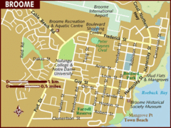
Broome, Australia City Map
3655 miles away
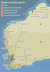
Western Australia Map
Map of Western Australia region with detail of districts
3704 miles away
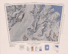
The Cloudmaker Topo Map
Topo map of region surrounding The Cloudmaker mountain and the Beardmore Glacier. 1:250,000 scale.
3719 miles away
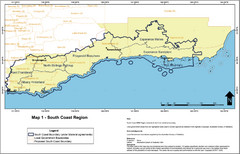
Australia South Coast Region Map
The South Coast region of Australia and proposed new boundaries by Natural Resources Management...
3758 miles away
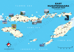
East Nusatenggara Tourist Map
Tourist map of East Nusatenggara, Indonesia. Shows some photos.
3792 miles away
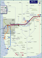
Western Australia Rail Map
Map of long-distance rail system throughout Western Australia
3795 miles away

Western Australia State Barrier Fence Map
Map shows the Rabbit barrier fence built in 1901 in Burracoppin and Merredin just east of Perth.
3813 miles away
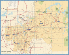
Wheatbelt Central Western Australia Map
Map of the central wheatbelt area near Merredin, Western Australia
3825 miles away
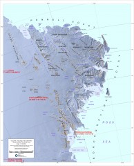
Victoria Land and the Northern Trans-Antarctic...
Shows major glaciers and mountains
3831 miles away

Bruce Rock Town Map
3832 miles away
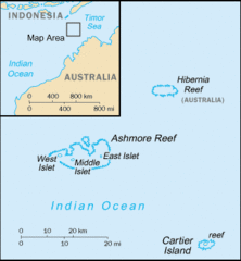
Ashmore and Cartier Islands Tourist Map
3849 miles away
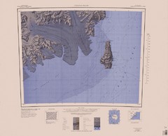
Coulman Island Map
An island 18 miles long and 8 miles wide
3860 miles away

Denmark, Western Australia East District Guide Map
The eastern district of Denmark, Western Australia
3879 miles away

Denmark, Western Australia Guide Map
Locations and areas in Denmark, Western Australia
3879 miles away
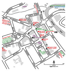
Denmark Western Australia Tourist Map
Tourist map of town of Denmark, Western Australia. Shows accommodations and restaurants.
3879 miles away
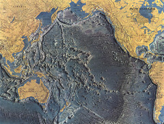
Pacific Ocean Floor Map
3906 miles away


